Ski tour Marchkinkele 2.553m (from Innervillgraten)
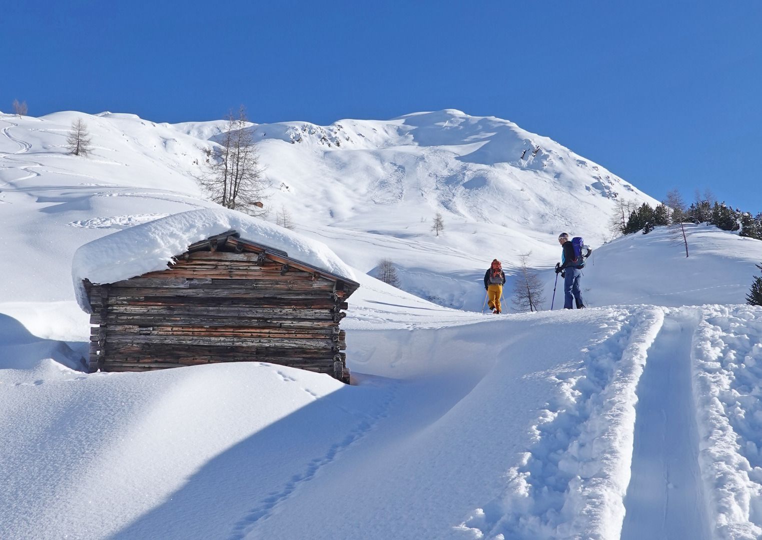
Innervillgraten / Villgraten Mountains
Route length: 6.7 km
Duration: 4:00 h

Ski tour Marchkinkele 2.553m (from Innervillgraten)
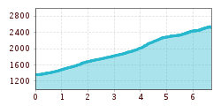
Tour information

  • Length: 6.7 km
  • Duration: 4:00 h
  • Elevation uphill:1,190 hm
  • Elevation downhill:0 hm
Highest point2,540 m

Starting point

Innervillgraten / Tischlerei Lanser

Finishing point

Marchkinkele
  • Fitness level 3 / 6
  • Technique 3 / 6

Best time of year

  • January
  • February
  • March
  • April
  • May
  • June
  • July
  • August
  • September
  • October
  • November
  • December
Source: TVB Osttirol

Description

The tour starts in the Klamperplatz district (1375m) in Innervillgraten at the Lanser joinery. First you take a forest path along the Tafinbach stream to the first open space in the Oberhoferalm area (1,622m). From here, follow a meadow path uphill until you reach a path again. Then follow this path to the Galleralm (1790m) and on to the Graferalm (1900m). From here, follow the summer trail over hilly, gently ascending terrain to the Gissertörl (2405m), and from there along the ridge to the summit of the Marchginggele (2545m)
Descent as ascent. Alternatively, you can also ski down to Kalkstein.
Characteristics:
The classic in the Villgratental valley. From Innervillgraten, the tour to the Marchginggele is longer than from Kalsktein with more metres in altitude. From the Gisser Törl upwards, the snow is often affected by the wind. There is another ascent option from the hamlet of Kalkstein. On a clear day, the views extend as far as the Lienz Dolomites and the South Tyrolean Dolomites with the 3 Peaks lie at your feet.


More tours in the surrounding area

  • Breiteggspitze

    Difficulty:easy
    Length:3.4 kmDuration:2:00 hElevation uphill:700 m
  • Eichenhof

    Difficulty:medium
    Length:4.7 kmDuration:2:50 hElevation uphill:898 m
  • Mutterer Alm

    Difficulty:medium
    Length:3.1 kmDuration:2:00 hElevation uphill:581 m
  • Bichalm

    Difficulty:easy
    Length:2.4 kmDuration:1:30 hElevation uphill:450 m
  • Hoadl-Haus

    Difficulty:easy
    Length:7.6 kmDuration:2:25 hElevation uphill:778 m
  • Patscherkofel Schutzhaus

    Difficulty:medium
    Length:13.3 kmDuration:2:30 hElevation uphill:1,000 m
  • Seefelder Joch

    Difficulty:medium
    Length:5.8 kmDuration:2:30 hElevation uphill:866 m
Newsletter

The mountain is calling? So does our newsletter!

In our monthly newsletter we reveal the best holiday tips for Tyrol.
