Ski tour Mosesgungge 2.552m

Innervillgraten / Villgraten Mountains
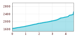
Route length: 4.6 km
Duration: 3:30 h

Ski tour Mosesgungge 2.552m

Tour information

  • Length: 4.6 km
  • Duration: 3:30 h
  • Elevation uphill:910 hm
  • Elevation downhill:0 hm
Highest point252 m

Best time of year

  • January
  • February
  • March
  • April
  • May
  • June
  • July
  • August
  • September
  • October
  • November
  • December
Source: TVB Osttirol

Description

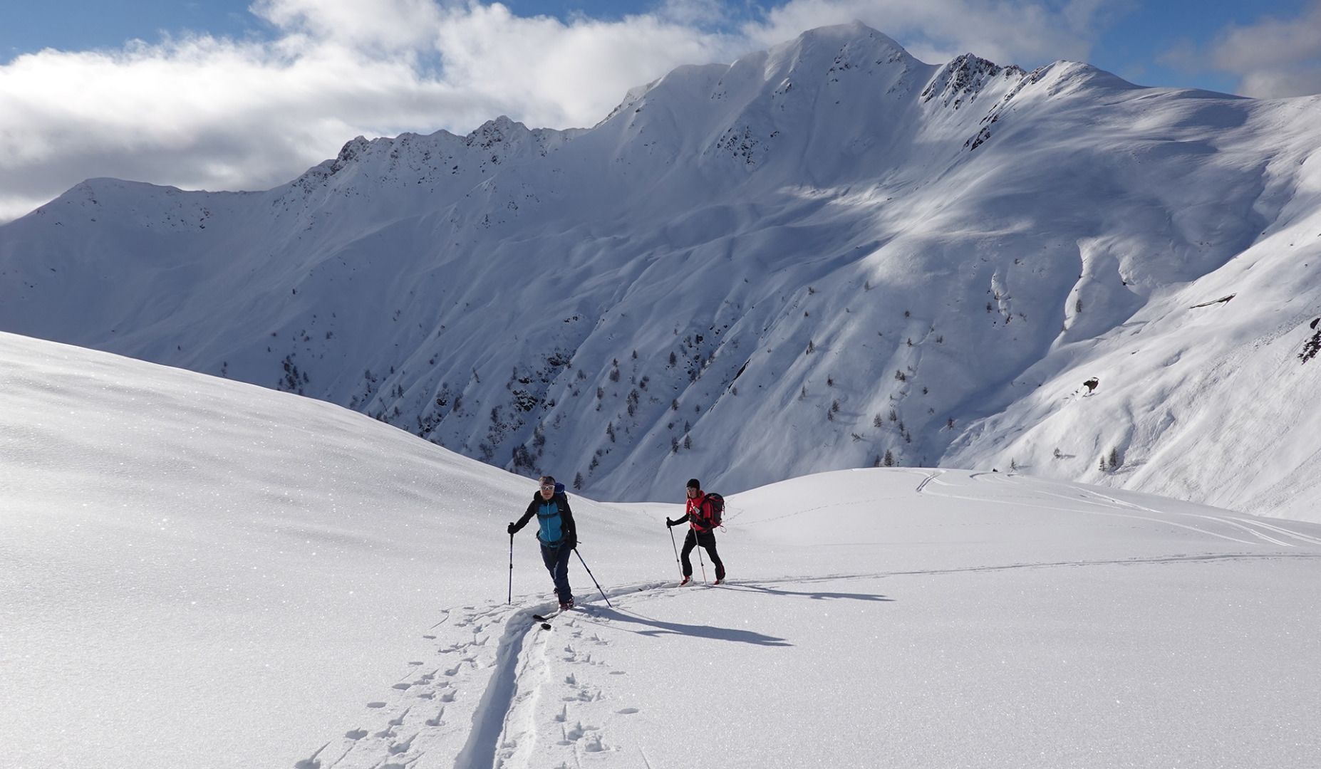
The starting point of the tour is the ski touring car park at the Badl Alm in Kalkstein (1640m) in Innervillgraten. From there, first take the forest path towards Alfenalm, turn right shortly before and follow the road north-west into the Roßtal valley to the end of the valley. From there, follow the Kreuszpitze ascent track for a short distance across the wide valley basin in a north-easterly direction. At an altitude of 2200m, turn off to the right at a favourable point and follow moderately steep terrain over wide terrain in an easterly direction with hairpin bends to the Moses summit (Mosesgungge).

The descent follows the ascent track.

Characteristics
The Mosesgungge (or Moses summit) is a much-visited ski summit in the Villgratental valley, also as an alternative to the Kreuzspitze, thanks to the easy ascent and usually good snow conditions. The wide slopes offer marvellous downhill skiing opportunities. Refreshments available after the tour at the Badl-Alm.

Nearby huts and mountain restaurants

More tours in the surrounding area

  • Breiteggspitze

    Difficulty:easy
    Length:3.4 kmDuration:2:00 hElevation uphill:700 m
  • Seefelder Joch

    Difficulty:medium
    Length:5.8 kmDuration:2:30 hElevation uphill:866 m
  • Bichalm

    Difficulty:easy
    Length:2.4 kmDuration:1:30 hElevation uphill:450 m
  • Hoadl-Haus

    Difficulty:easy
    Length:7.6 kmDuration:2:25 hElevation uphill:778 m
  • Mutterer Alm

    Difficulty:medium
    Length:3.1 kmDuration:2:00 hElevation uphill:581 m
  • Patscherkofel Schutzhaus

    Difficulty:medium
    Length:13.3 kmDuration:2:30 hElevation uphill:1,000 m
  • Eichenhof

    Difficulty:medium
    Length:4.7 kmDuration:2:50 hElevation uphill:898 m
Newsletter

The mountain is calling? So does our newsletter!

In our monthly newsletter we reveal the best holiday tips for Tyrol.