Ski tour Romariswandkopf 3.511 m

Kals am Großglockner / Glockner Group
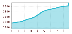
Route length: 8.8 km
Duration: 5:30 h

Ski tour Romariswandkopf 3.511 m

Tour information

  • Length: 8.8 km
  • Duration: 5:30 h
  • Elevation uphill:1,550 hm
  • Elevation downhill:0 hm
Highest point3,510 m

Starting point

Parkplatz Glocknerwinkel

Finishing point

Romariswandkopf
  • Fitness level 5 / 6
  • Technique 5 / 6

Best time of year

  • January
  • February
  • March
  • April
  • May
  • June
  • July
  • August
  • September
  • October
  • November
  • December
Source: TVB Osttirol

Description

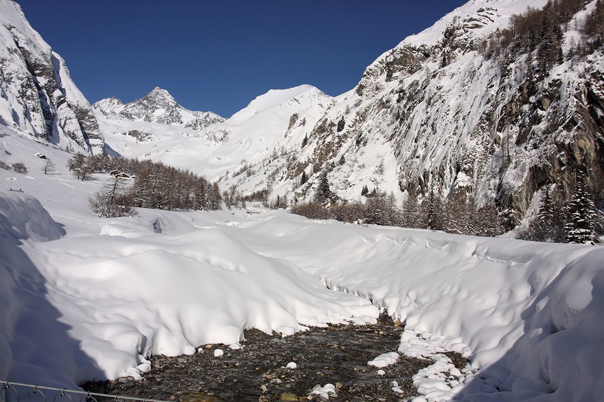
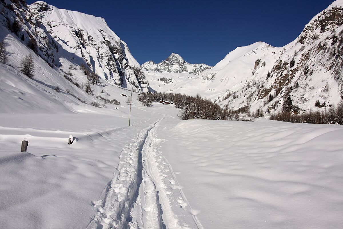
Via the toll road to the Glocknerwinkel car park at the Lucknerhaus. Follow the road into the valley to the Lucknerhütte (2,241 metres) and continue to the right of the stream until you reach a steep step. Move to the left side of the valley and climb up a steep hollow to the "Viehböden", 2,500 metres. Then walk on in the valley floor, which leads directly to the Fanotscharte with the Stuedlhuette. From here the best way is through the hollow above the cable car station to the Teischnitzkees. Now left from the rocky Luisengrat over the Teischnitzkees and between Gramulsattel and Glocknerwand to the Fruschnitzkees. Ascending to the right on the flat glacier floor to the Romariswand saddle and on to the Romariswandkopf. Descent like ascent or via the Luisenscharte 3,175 metres to the Ködnitzkees and then straight down until you reach the ascent route again at the Viehböden.

Nearby huts and mountain restaurants

Getting here

  • Parking

    parking lod Glocknerwinkel/Lucknerhaus

Weather

Snow depth
Now: 0 cm,
Next snowfall: No data available
Go to snow report

More tours in the surrounding area

  • Breiteggspitze

    Difficulty:easy
    Length:3.4 kmDuration:2:00 hElevation uphill:700 m
  • Bichalm

    Difficulty:easy
    Length:2.4 kmDuration:1:30 hElevation uphill:450 m
  • Patscherkofel Schutzhaus

    Difficulty:medium
    Length:13.3 kmDuration:2:30 hElevation uphill:1,000 m
  • Eichenhof

    Difficulty:medium
    Length:4.7 kmDuration:2:50 hElevation uphill:898 m
  • Hoadl-Haus

    Difficulty:easy
    Length:7.6 kmDuration:2:25 hElevation uphill:778 m
  • Mutterer Alm

    Difficulty:medium
    Length:3.1 kmDuration:2:00 hElevation uphill:581 m
  • Seefelder Joch

    Difficulty:medium
    Length:5.8 kmDuration:2:30 hElevation uphill:866 m
Newsletter

The mountain is calling? So does our newsletter!

In our monthly newsletter we reveal the best holiday tips for Tyrol.