

Place:Thurn
:Alpine pasture / hut / mountain restaurant
In winter, the Schleinitz, Lienz's local mountain, offers a panoramic ski tour with varied ascents.
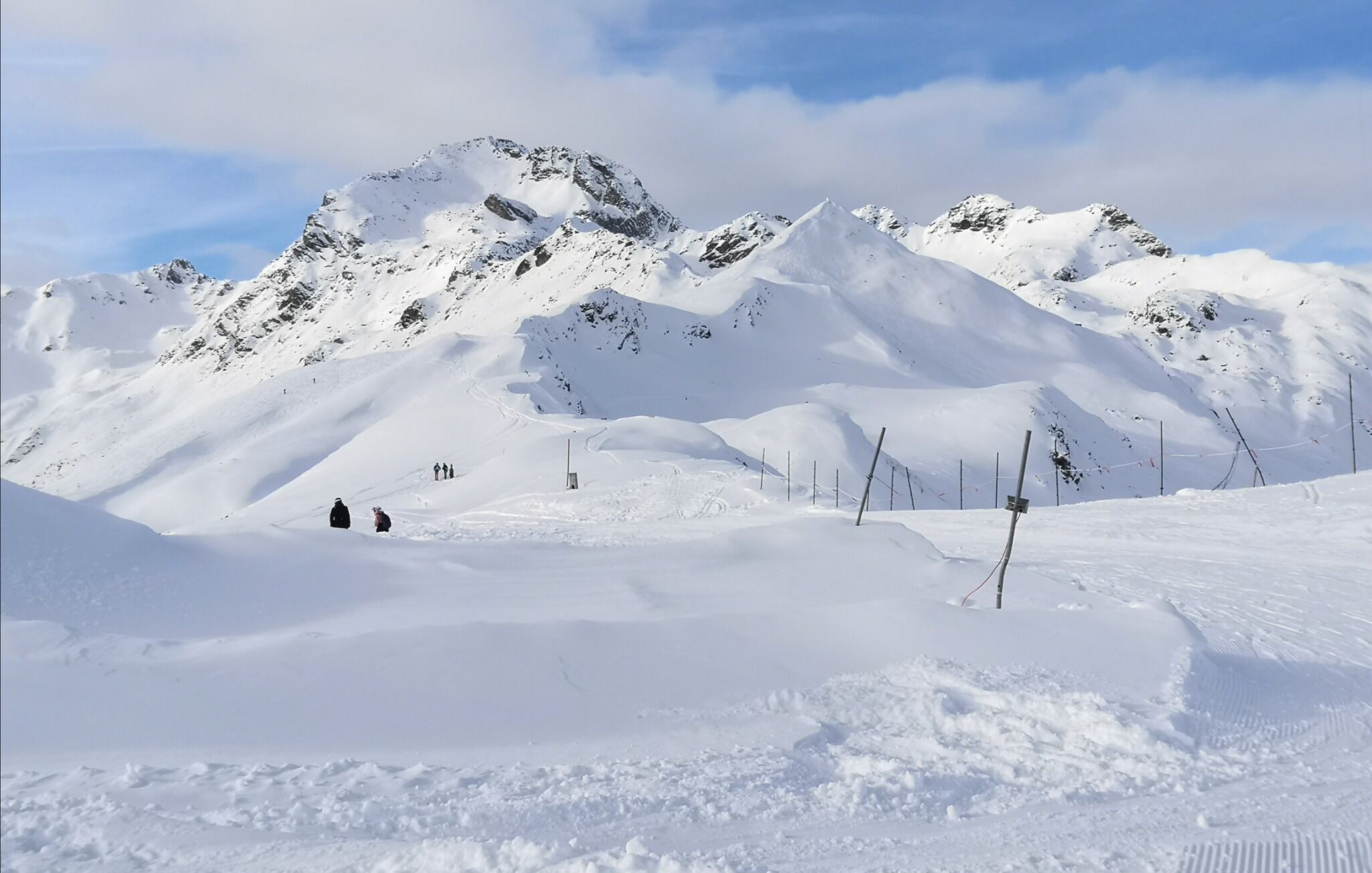
The Schober group with the Schleinitz, and its small, just before it and somewhat secondary mountain, the Rotgebele, finishes to the north of Lienz. Whereas the route to the Rotgebele is only recommended when there is plenty of snow, the Schleinitz can be scaled comfortably from the high ski area, where, using the ski lift we can shorten the route. The ascent to the Schleinitz proceeds north west of the highest point in the ski area (Schoberköpfl) beneath the Goisele to Neualplseen (route signposts). The first slope crossing takes us to the small Unterstandshüttl and should only be tackled when the conditions are safe. Here the track proceeds steeply down into a large basin, before we head along the accompanying Lottknöpfe into the valley and leave the lakes to the right. Proceeding around a rocky nook is a trough, up the steep east slope which as well as the summit slope is a key section of terms of technical avalanche expertise and again should only be tackled when conditions are safe. You can proceed around this first steep slope via the summer trail, however you have to reconnoitre this in the map, since it is not clear. Several hairpin bends later the terrain flattens out before we climb via the steep summit slope again heading to the cross (3 hours from the centre of Zettersfeld). Descent along the ascent track. The seriousness of this ski tour, despite its proximity to the ski area, is not to be underestimated.
Additional ski tour tips can be obtained in the ski tour guides by Thomas Mariacher. These are available here: http://www.grafikzloebl.at/verlag/buecher/
Coming from Lienz by car via Thurn to the Zettersfeld or take the monocable gondola to the Zettersfeld and walk from there to the Rottmann Alm.
Parkplatz Zettersfeld/Zentrum


