
Arrival by public transport
Mit dem Bus bis zur Haltestelle "Panzendorf Gemeindeamt Heinfels"
Ski tour Tessenberger Alm 1.950m
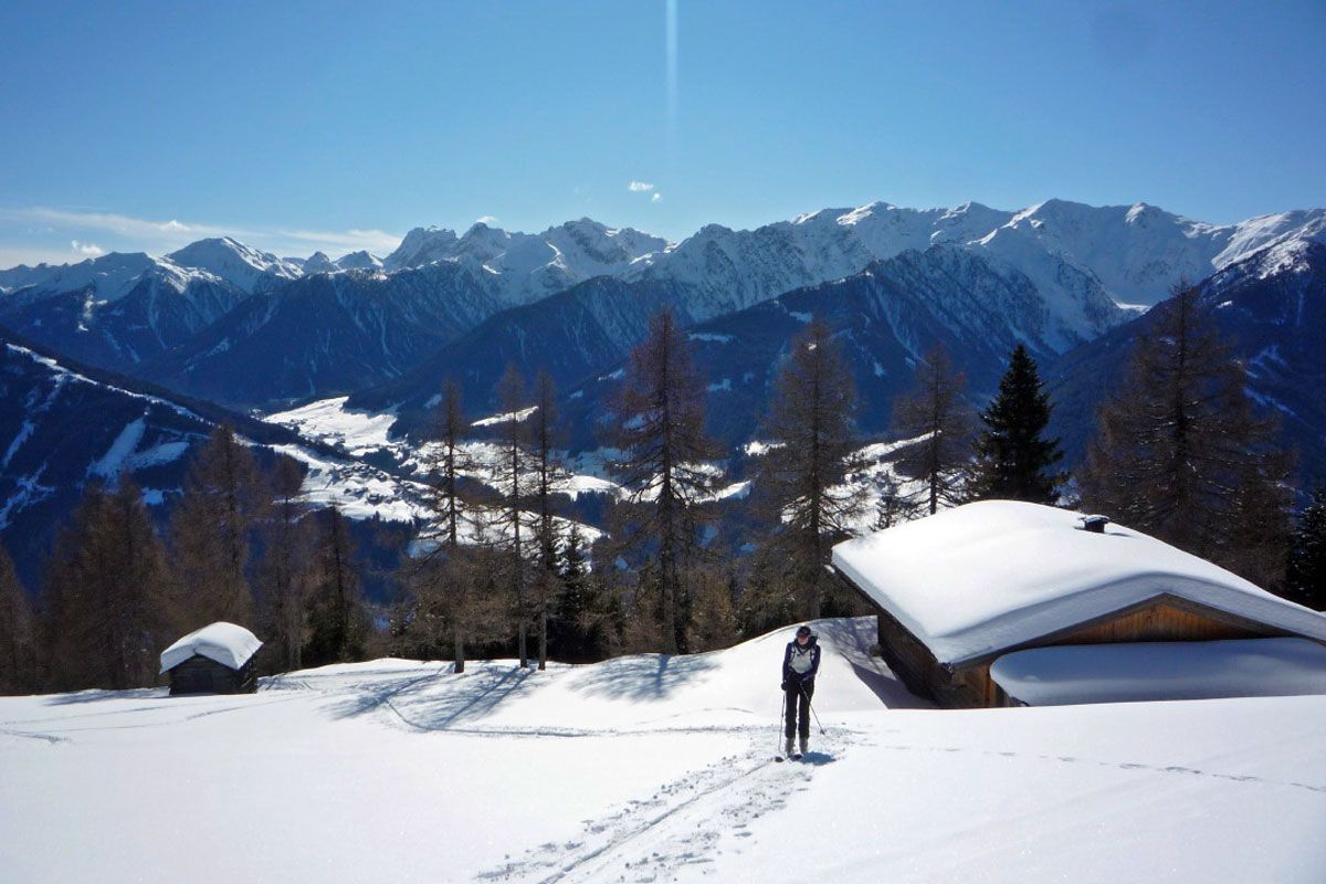
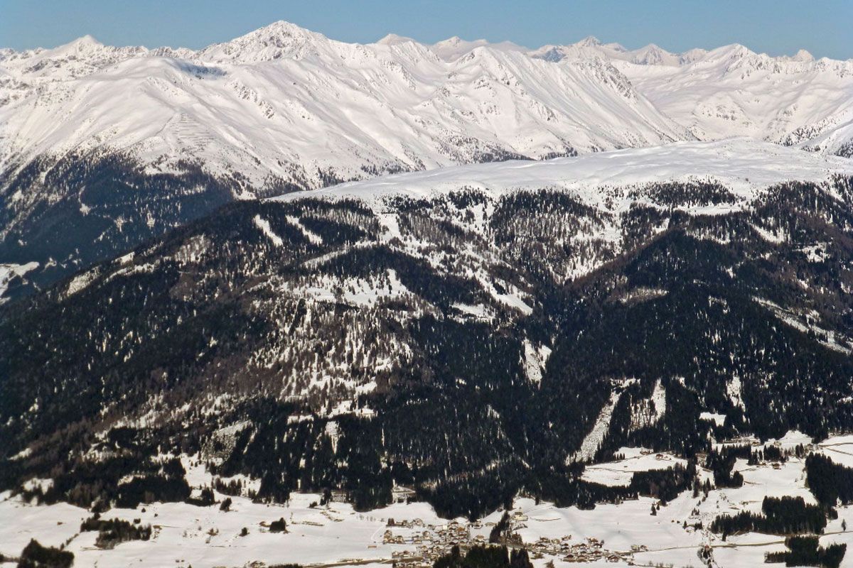
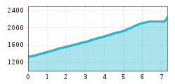
The wonderful Tessenberger Alm is situated to the north of the town of Heinfels in the sunny area of Pustertal and is a perfect tour destination for pleasure-seekers, sun-worshippers and those who are new to ski tours, who want to find out more about ski touring without any appreciable risk of avalanche. The Steinrastl is the highest point of the Tessenberger Alm high plateau and you can head there as an encore. The ski tour to Tessenberger Alm is only advisable in winter when snow is plentiful, due to its sunny setting. Starting point is on a slope terrace in the idyllically located parish of Tessenberg (1340 m). It is accessible from the town of Heinfels, parish of Panzendorf, via a 3 km mountain road which provides plenty of views which starts behind a little sports ground, where a forest trail then starts (1320 m, not much parking available). It is also possible to start out directly in the village and between the houses heading west for the fields. For the descent you can head on the pastures to the rural road. We now follow the forest trail to the first junction where the 5 km road to the Tessenberger Alm bears right (signposts). This is later used as the descent and for the ascent is somewhat monotonous. We head straight on at the junction (west) and soon leave the forest road at an Alpine inn which is bathed in sunshine. Across fantastic glades, interspersed with forested sections, the track now swings in a northerly direction uphill. Crossing the road on several occasions, after 1 ½ - 2 hours we get to the pretty Tessenberger Almrast (1940 m). The forest now becomes somewhat lighter and we follow the track briefly to the north-east, to more lovely Alpine inns at the start of a somewhat steep glade. This takes us in a few hairpin bends to the high plateau of the Tessenberger Alm, where we head north to the big cross on the Tessenberg (around 2130 m). Descent along the ascent track.
Additional ski tour tips can be obtained in the ski tour guides by Thomas Mariacher. These are available here: http://www.grafikzloebl.at/verlag/buecher/
Mit dem Bus bis zur Haltestelle "Panzendorf Gemeindeamt Heinfels"
Parkplatz Gemeindeamt Heinfels


