Ski tour Weißeneckscharte 2.637m

Matrei in Osttirol / Venediger Group
Route length: 6.1 km
Duration: 3:30 h

A wonderful ski tour around Dichtensee
Tour information

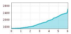
  • Length: 6.1 km
  • Duration: 3:30 h
  • Elevation uphill:1,116 hm
  • Elevation downhill:0 hm
Highest point2,637 m

Starting point

Matreier Tauernhaus

Finishing point

Weißeneckscharte 2.637m
  • Fitness level 4 / 6
  • Technique 4 / 6

Best time of year

  • January
  • February
  • March
  • April
  • May
  • June
  • July
  • August
  • September
  • October
  • November
  • December
Source: TVB Osttirol

Description

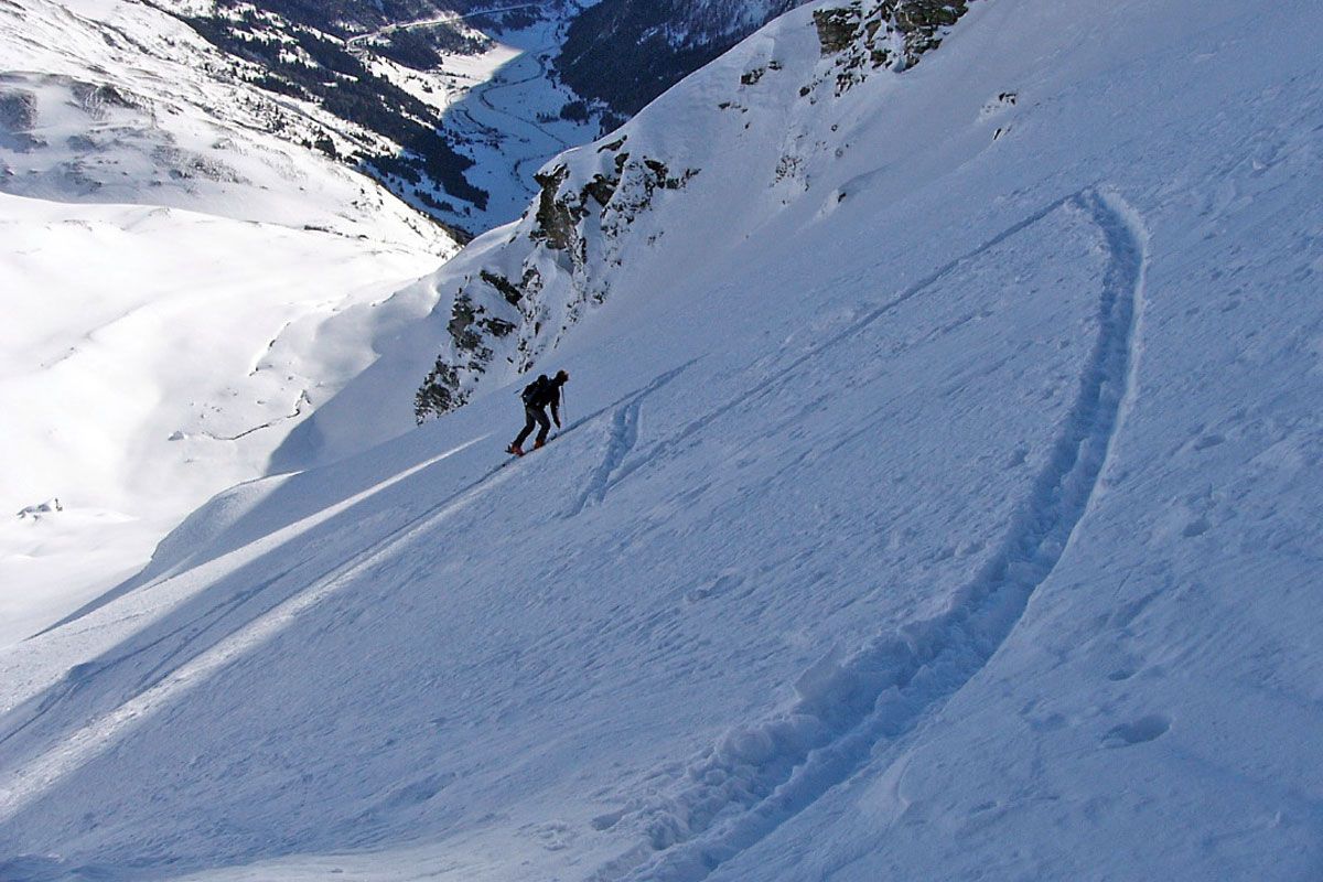
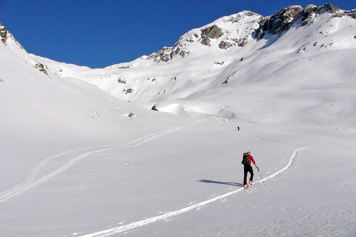
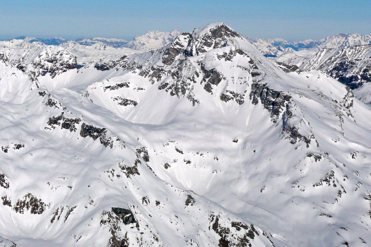
The starting point for this superb ski tour is Matreier Tauernhaus (1510 m), two kilometres before the Felbertauern south portal. The tour proceeds in a corrie above Außergschlöss, although this is very visible from the Felbertauern road. The route there proceeds along the flat forest road, which continues to Innergschlöss. Around fifty metres before the Außergschlöss snack station we branch off in a northerly direction on a forest trail (signposts), which quickly gains in altitude through what is known as the Holzbodenwald. The ski track goes through the light forest and reaches the corrie between the Weißeneck and Fechtebenkogel. Another tour option opens up here with a walkway to St. Pöltener Hütte, which is unfortunately somewhat unsightly due to the power lines. Nicer in terms of scenery and more impressive is the route to the Weißeneckscharte, where a dreamy mountain, the Dichtensee, is hidden. The destination is a little elevation above Dichtensee, where there is a superb view to the most northerly summits in the district. The descent proceeds for the most part along the ascent track.

Additional ski tour tips can be obtained in the ski tour guides by Thomas Mariacher. These are available here: https://www.tyroliaverlag.at/item/Skitouren_in_Osttirol_und_Oberkaernten/Thomas_Mariacher/43058387

Nearby huts and mountain restaurants

Getting here

  • Parking

    Car park Matreier Tauernhaus

Weather

Today

clear sky
29°C/12°C
0%0l0 km/h

Wed

light rain showers
30°C/14°C
60%4.4l0 km/h

Thu

clear sky
33°C/14°C
20%0l0 km/h
Go to weather forecast

More tours in the surrounding area

  • Patscherkofel Schutzhaus

    Difficulty:medium
    Length:13.3 kmDuration:2:30 hElevation uphill:1,000 m
  • Eichenhof

    Difficulty:medium
    Length:4.7 kmDuration:2:50 hElevation uphill:898 m
  • Mutterer Alm

    Difficulty:medium
    Length:3.1 kmDuration:2:00 hElevation uphill:581 m
  • Bichalm

    Difficulty:easy
    Length:2.4 kmDuration:1:30 hElevation uphill:450 m
  • Hoadl-Haus

    Difficulty:easy
    Length:7.6 kmDuration:2:25 hElevation uphill:778 m
  • Seefelder Joch

    Difficulty:medium
    Length:5.8 kmDuration:2:30 hElevation uphill:866 m
  • Breiteggspitze

    Difficulty:easy
    Length:3.4 kmDuration:2:00 hElevation uphill:700 m
Newsletter

The mountain is calling? So does our newsletter!

In our monthly newsletter we reveal the best holiday tips for Tyrol.