Ski tour Zettersfeld Zentrum - Schoberköpfl

Thurn / Schober Group
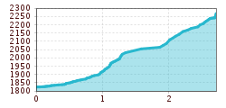
Route length: 2.7 km
Duration: 1:50 h

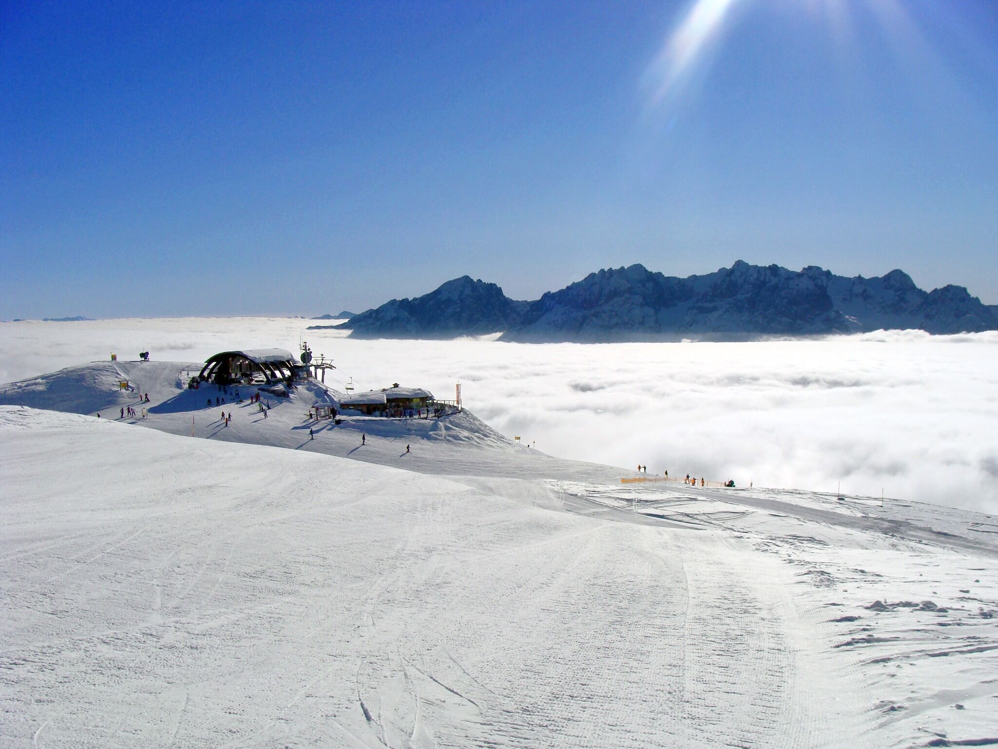
Panoramic skitour at Zettersfeld

Tour information

  • Length: 2.7 km
  • Duration: 1:50 h
  • Elevation uphill:440 hm
  • Elevation downhill:440 hm
Highest point2,260 m

Starting point

valley station chairlift Steinermandl

Finishing point

Schoberköpfl
  • Fitness level 2 / 6
  • Technique 2 / 6

Best time of year

  • January
  • February
  • March
  • April
  • May
  • June
  • July
  • August
  • September
  • October
  • November
  • December
Source: TVB Osttirol

Description

From the Zettersfeldbahn mountain station, first turn left past the "Steinermandl" 4-seater chairlift in the direction of "Die Alm". From there, follow the signs along ski route no. 13, initially through the forest to the fairytale meadow. From here, you enter open alpine pastures and always have the sun behind you as you move past the Lackenboden reservoir to the mountain station of the Schoberköpfl T-bar lift. Crossing the drag lift track early is prohibited! Toilets are located a few metres below the finish point at the Steinermandl panorama restaurant. 
The ascent and descent are only permitted during the operating hours of the mountain railway!

Nearby huts and mountain restaurants

Getting here

  • Arrival by public transport

    Take the Regiobus to the valley station of the Zettersfeld cable car

  • Parking

    Zettersfeld valley station

Weather

Today

light rain showers
29°C/16°C
60%4.7l5 km/h

Mon

clear sky
32°C/16°C
45%0.5l5 km/h

Tue

light rain showers
32°C/16°C
55%1.2l5 km/h

More tours in the surrounding area

  • Patscherkofel Schutzhaus

    Difficulty:medium
    Length:13.3 kmDuration:2:30 hElevation uphill:1,000 m
  • Eichenhof

    Difficulty:medium
    Length:4.7 kmDuration:2:50 hElevation uphill:898 m
  • Mutterer Alm

    Difficulty:medium
    Length:3.1 kmDuration:2:00 hElevation uphill:581 m
  • Bichalm

    Difficulty:easy
    Length:2.4 kmDuration:1:30 hElevation uphill:450 m
  • Hoadl-Haus

    Difficulty:easy
    Length:7.6 kmDuration:2:25 hElevation uphill:778 m
  • Seefelder Joch

    Difficulty:medium
    Length:5.8 kmDuration:2:30 hElevation uphill:866 m
  • Breiteggspitze

    Difficulty:easy
    Length:3.4 kmDuration:2:00 hElevation uphill:700 m
Newsletter

The mountain is calling? So does our newsletter!

In our monthly newsletter we reveal the best holiday tips for Tyrol.