Anreise mit den Öffis
VVT line 770
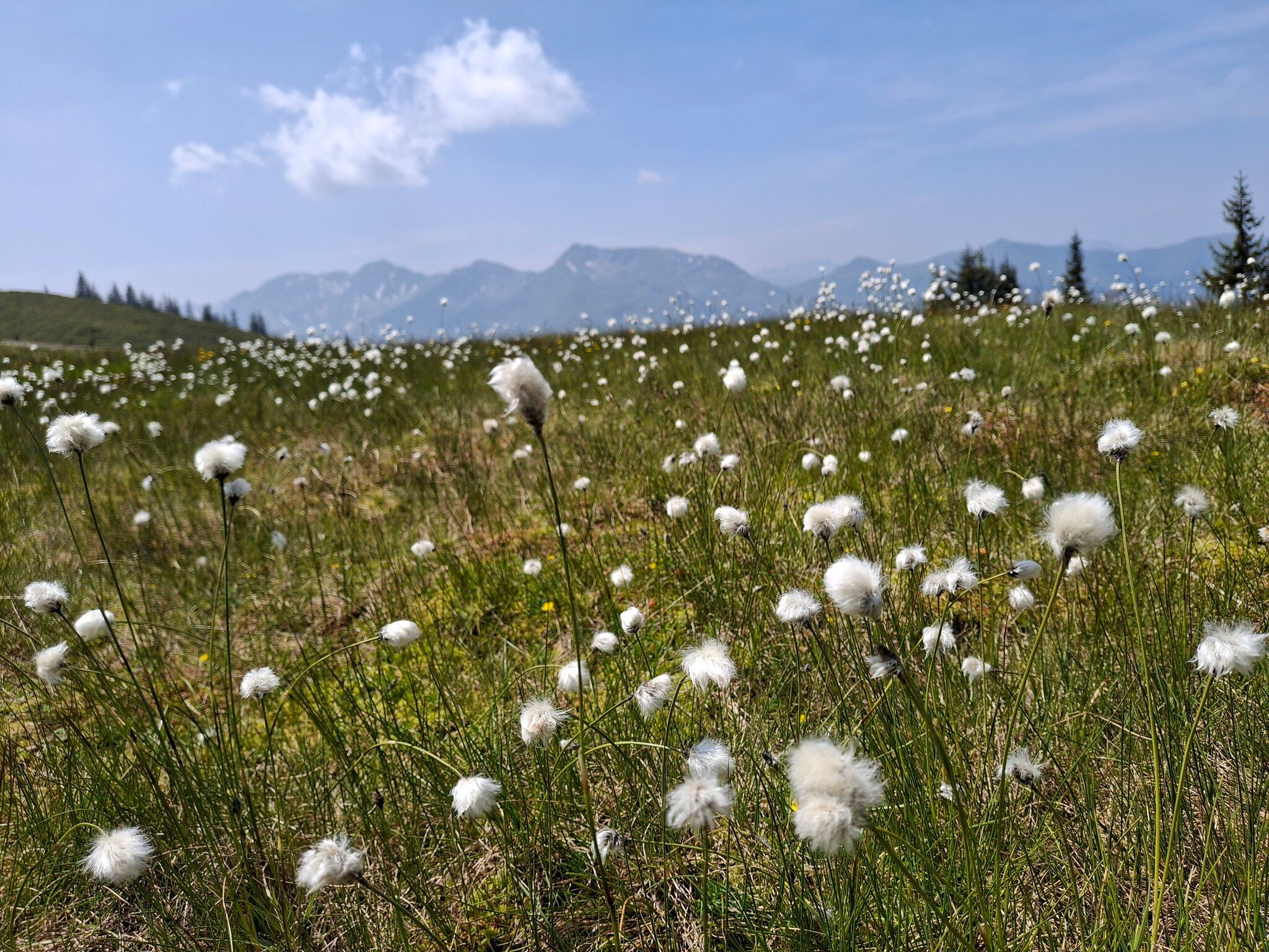
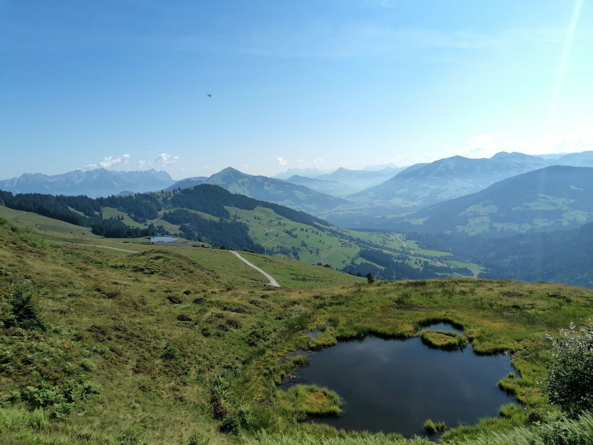
to one of the local mountains
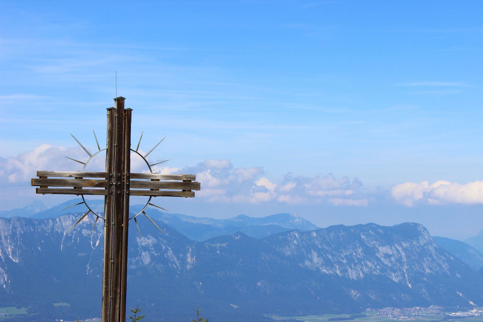
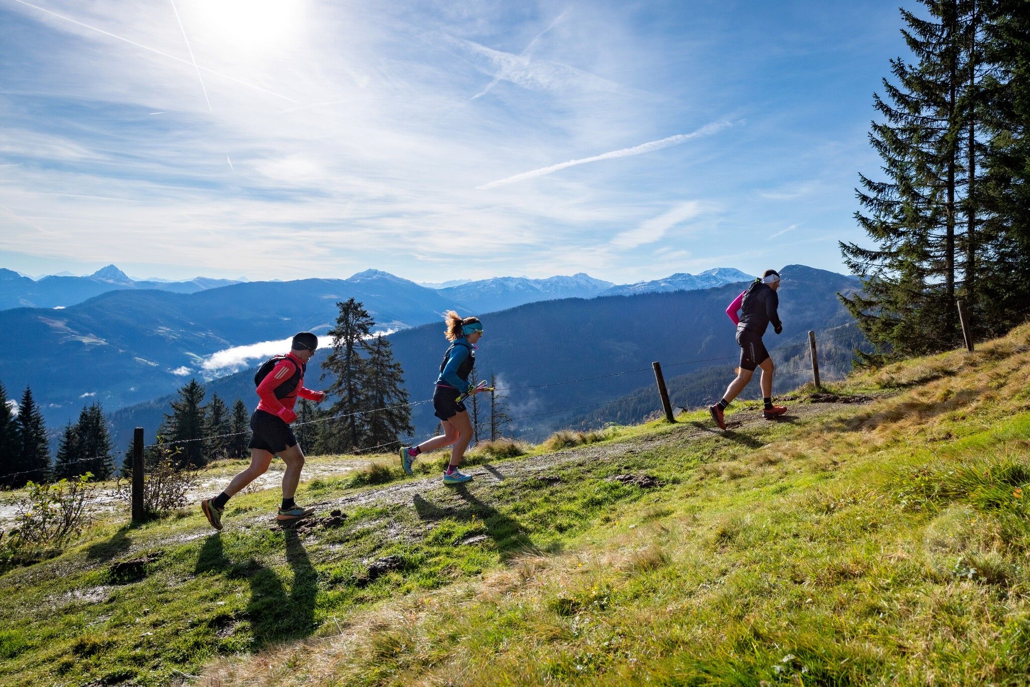
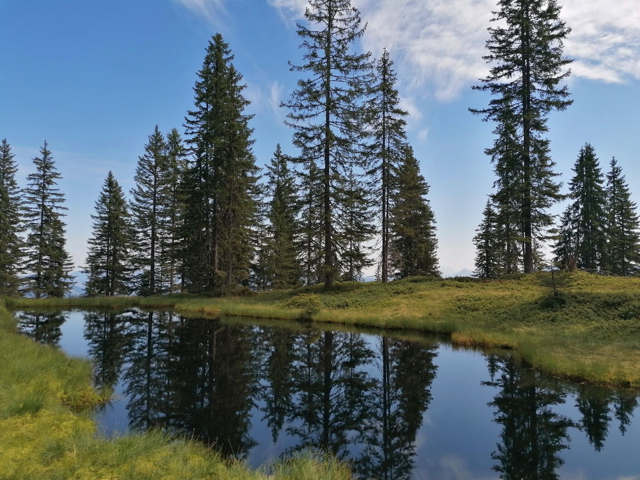
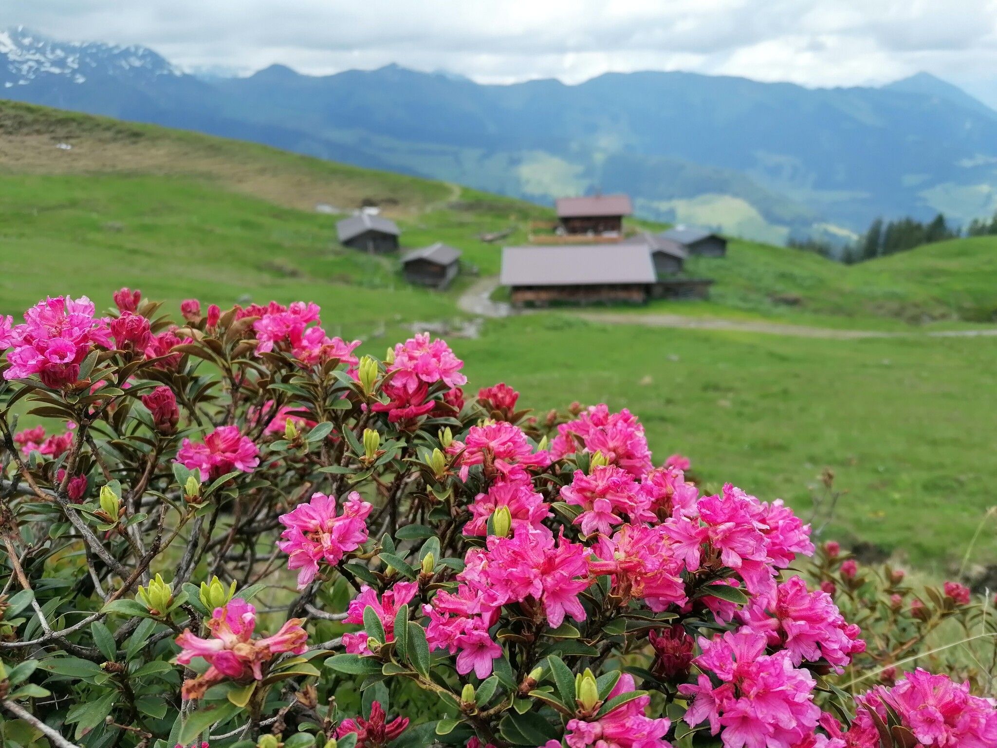
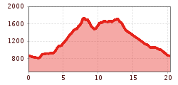
The run starts at the Schatzbergbahn parking lot in Auffach. The route initially heads downhill to the right of the road, following varying terrain. Above the village of Auffach, the trail branches off to the right and then climbs steadily and steeply towards the Roßkopfhütte mountain hut. From there, the path continues up to the summit cross of the Roßkopf. From the summit, the trail descends slightly before climbing a few more meters to the Turmkogel peak. The route then continues to the Vorderen Feldalm alpine pasture. From the Vorderen Feldalm, the descent begins. This section follows paths and mostly gravel tracks, passing the Unterbergeralm alpine pasture, before returning to the starting point at the Schatzbergbahn parking lot in Auffach.
VVT line 770
Schatzbergbahn
