Arrival by public transport
KaiserJet or Postbus stop "Söll Dorf". Further information at www.wilderkaiser.info/mobilität
How does it feel to run in the Tour de Tirol? Well, we can't answer that exactly, but we recommend that you run the Pölventrail training route near Söll, as it is the 3rd competition of the Tour de Tirol.
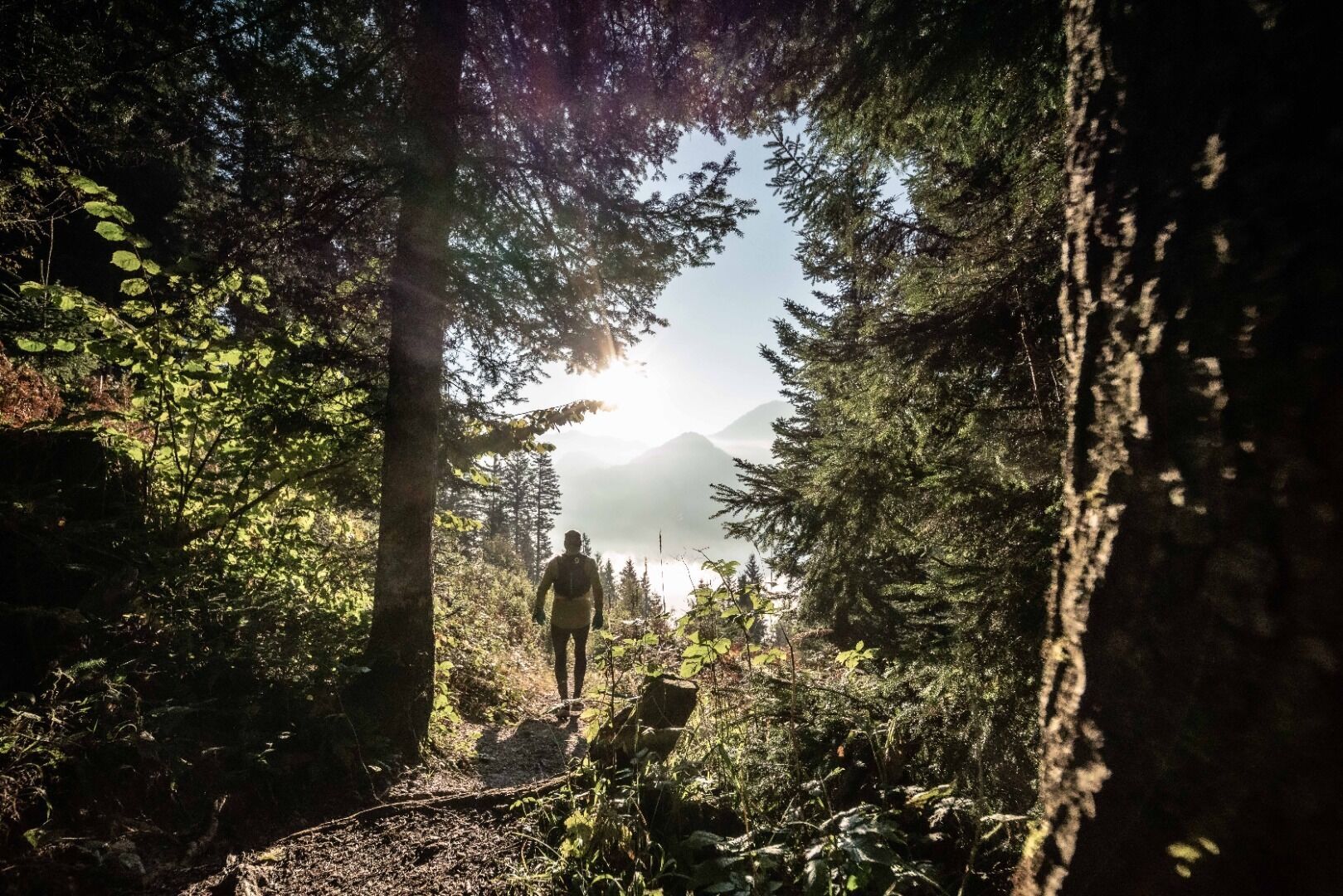
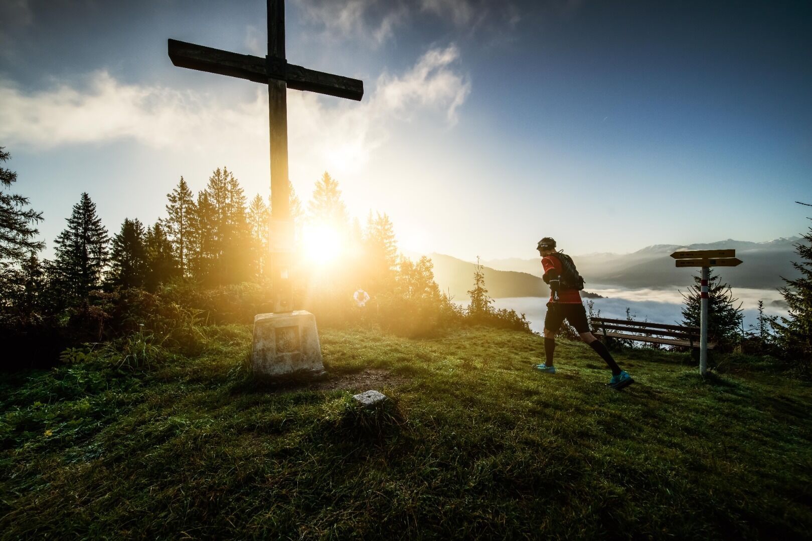
Once around the Großer and Kleiner Pölven is the motto of the Pölventrail starting in Söll. The majority of the trail runs along beautiful natural paths across meadows and through the forest. The highest point is the Jufinger Jöchl at 1,176 meters, from where you can enjoy a beautiful view. The Pölventrail is the 3rd competition of the Tour de Tirol. You can train here every day and on the day of the competition, the best trail runners compete on the 22.8-kilometre route.
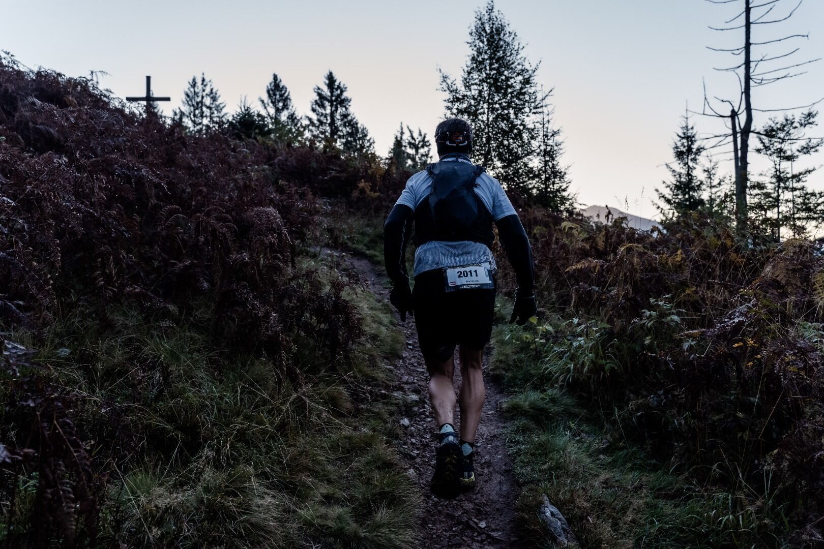
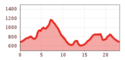
At the Pölventrail (3rd competition of the Tour de Tirol), the race route leads from Söll village center via the following distinctive stations. Musikpavillon-Hotel Greil-Schnapsbrennerei Oberkoller-Pölvenrundweg-Schwoich-Bad Häring waterfall-Häring-Brandbodenstr.-Kirchstr.- Barbarastr.-Heimbergstr.- cross-country to the old Häring ski lift- over the Werlberg up to the Juffinger Jöchl- Stallhäusl-Sunnseitweg- before Lengauer Kapelle steeply downhill-Sunnseitweg on to Schnapsbrennerei Oberkoller-back to the village. The training route differs from the competition route due to the restricted area in Bad Häring.
KaiserJet or Postbus stop "Söll Dorf". Further information at www.wilderkaiser.info/mobilität
Public parking lot West Pölven, Söll (689 m) - free of charge


 Andi Frank_TVB PillerseeTal (133).jpg")


")


