
Opening hours:Today closed
Place:Umhausen
:Alpine pasture / hut / mountain restaurant
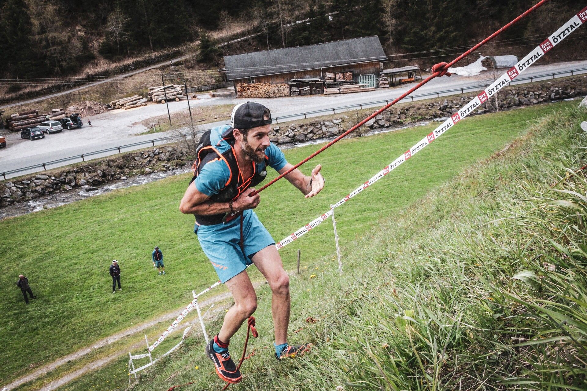
Demanding trail run with varied trails along the highest waterfall in Tyrol


In May, there may still be crossings of snowfields. Therefore, inform yourself about the snow situation along the route. During this period, carrying shoe spikes is recommended.
Alpine emergency call: 140
Travel safely!
Download the mountain rescue emergency app in advance. If you need help, you can send your exact coordinates via the app.
EMERGENCY APP for download:
Android: https://play.google.com/store/apps/details?id=at.tirol_notfall&hl=de
iPhone: https://apps.apple.com/at/app/sos-eu-alp/id400099520
Since the Stuiben Trail 24K leads through high alpine terrain, the following equipment is recommended:
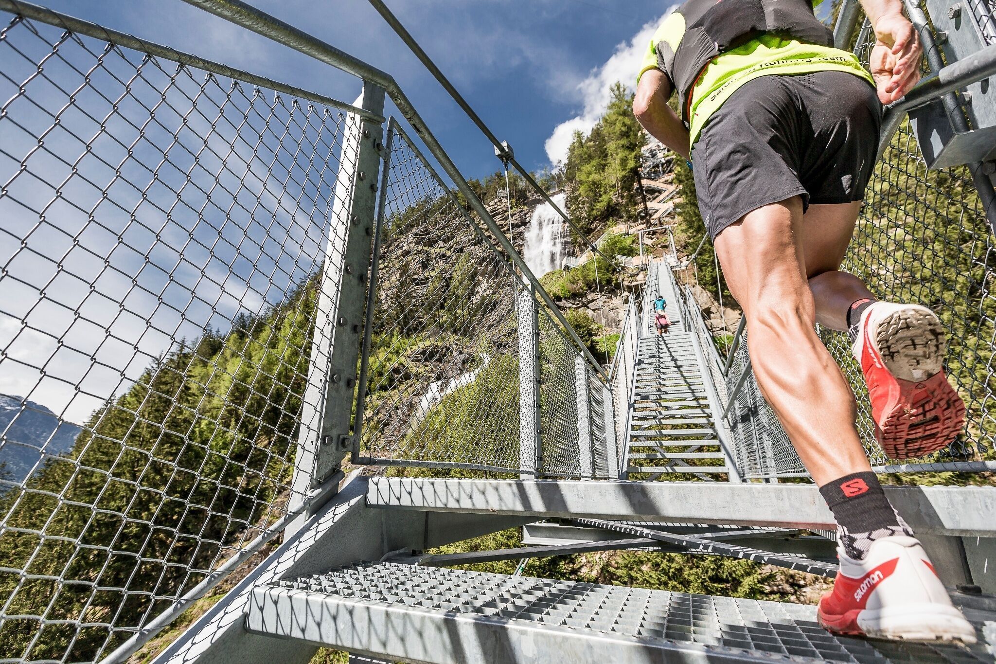
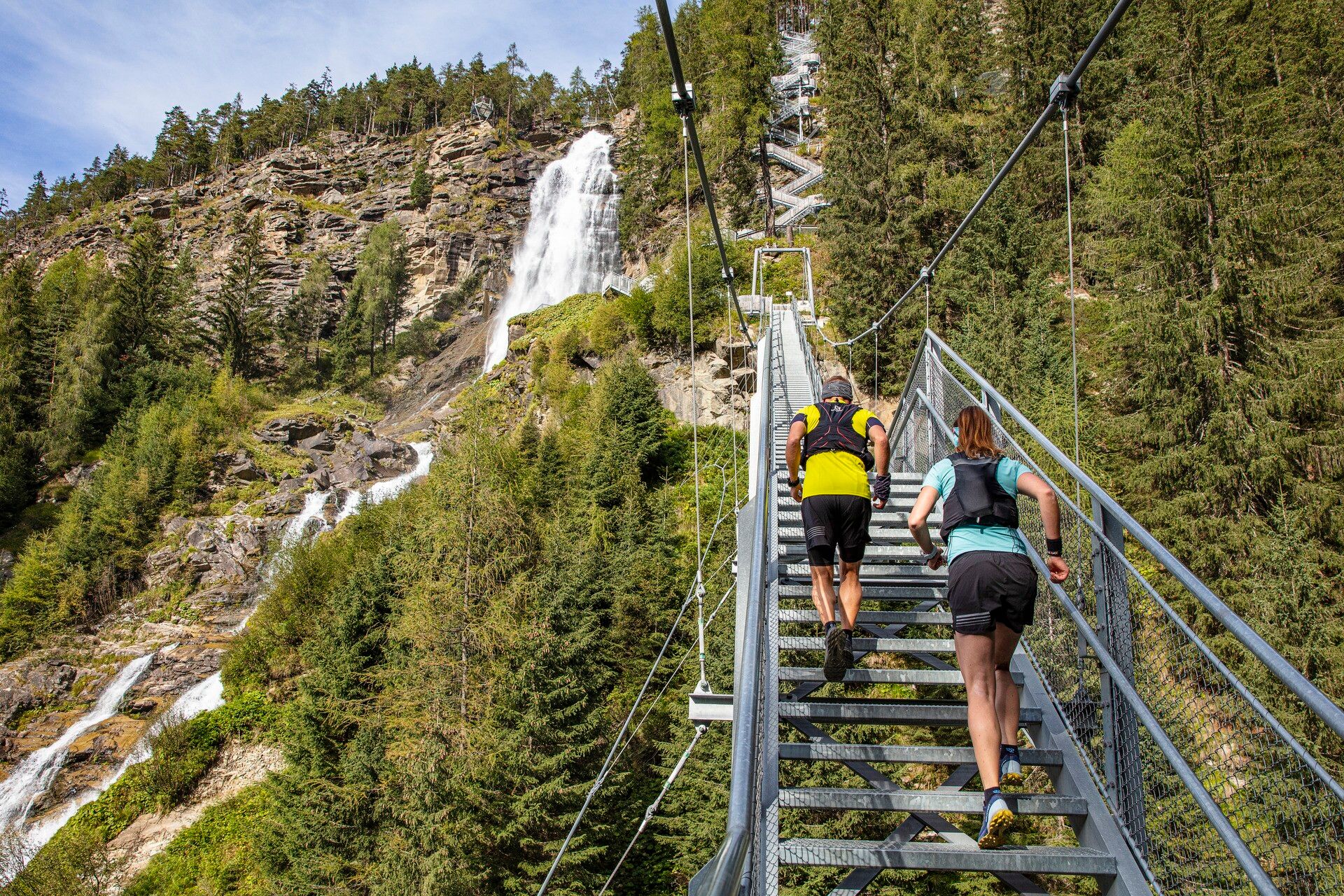
The start is in the center of Umhausen at an altitude of 1,036m. After one kilometer on asphalt and along the Wasserwaal path, you reach the foot of the Stuibenfall, where 728 spectacular natural and steel steps, as well as a dreamlike backdrop, await. Upon arrival in Niederthai, there is some time to recover before a steady steep ascent over the Rauher Bichl towards Narrenkogel. Upon reaching Narrenkogel, runners enjoy the panorama before a tough single trail leads down again over the mountain meadows. At the valley floor towards Larstig, there is an opportunity to refresh before running from Grastal to Niederthai. Upon returning to Niederthai, you climb over the Rauher Bichl again towards Höfle and Bichl. Here, the last reserves are needed for the downhill run to Umhausen. The last section runs along the Steppsteig towards Stuibenfall to Stuiben Nannele, where the witch really picks up speed for the last 1,500m into the village center.
accessible by train and bus
Travel comfortably and safely by train. The final station or exit point is the ÖTZTAL train station. Afterwards, you can conveniently and quickly take public transport or local taxis to the municipality of Umhausen. From the "GH Andreas Hofer" stop, the start point at Murplatz can be reached after about 150m. The current bus schedule is available at: fahrplan.vvt.at
Parking is available directly at Murplatz Umhausen


