.png")
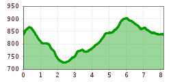
Length:19.3 kmElevation uphill:970 m
The Lanser Kopf Loop
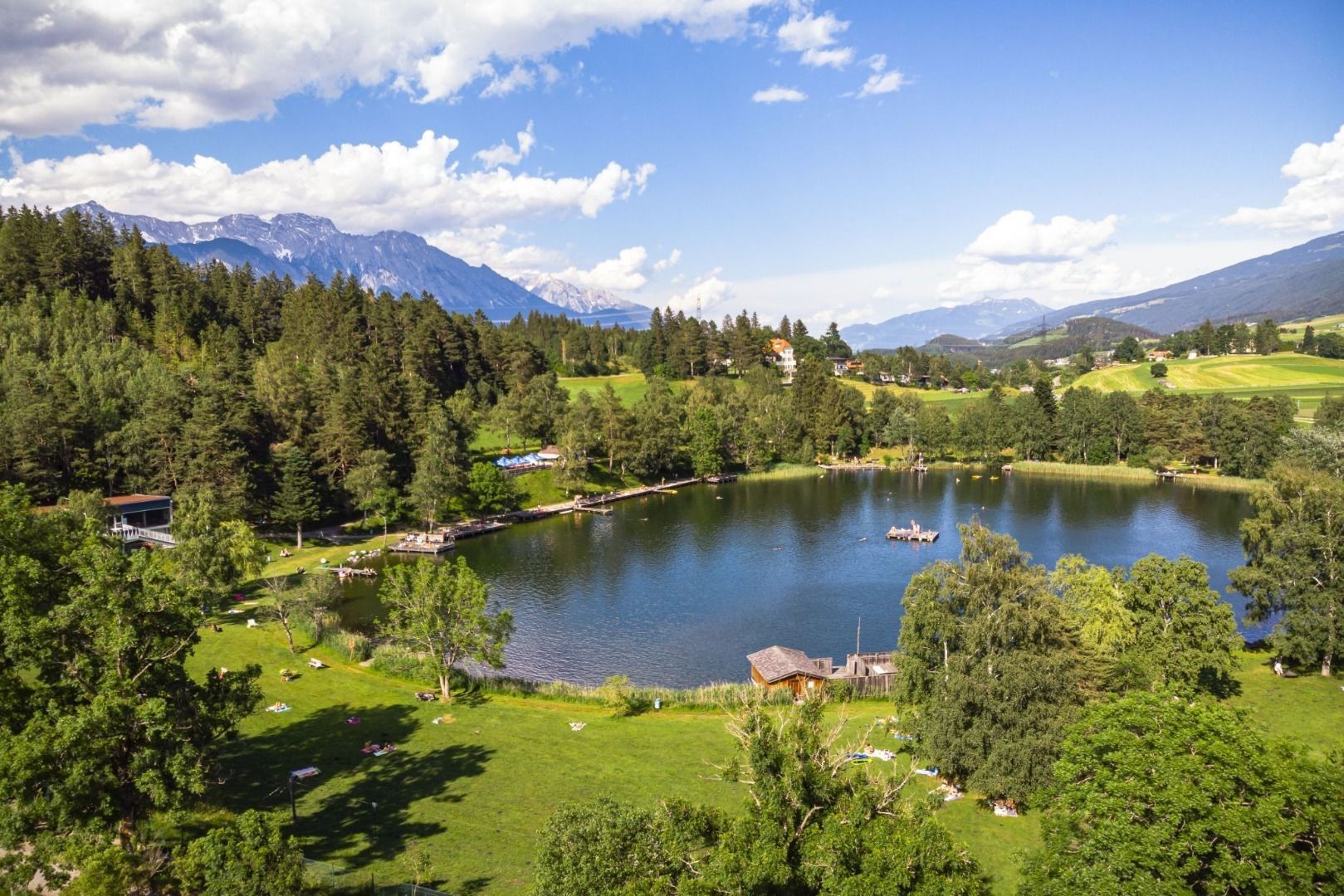
Single tracks through shady woodland, past the Viller Kopf and Lanser Kopf peaks and Lanser See lake.
This varied circular route starts in Vill. Alternatively, you can also start directly at Lanser See or start in Igls and use the 2 km or so to warm up and run out. In this case, you start at the old valley station, run straight north through the village and across meadows to Vill. From there you head eastwards, then northwards to Lake Lans.
From the starting point in a northerly direction, the trail leads along forest paths to the Tantegert stop of tram line 6, the lowest point of the loop. Continue uphill in an easterly direction to Sparberegg, where the trail makes a U-turn, and continues westwards to the Mühlsee lake (forest path). After the short ascent from the Mühlsee, the trail continues for approx. 50m on the asphalt road, at the next junction turn right and continue north of the Lanser Kopf hill to the Viller Kopf hill (forest path). Continue westwards to reach the start of the Lanser Kopf loop again. Shortly before the starting point, take the turn-off on the left and continue eastwards along a field path to the Lanser See lake and loop back along the "Seeweg" to the starting point.


")

 Andi Frank_TVB PillerseeTal (133).jpg")


