

Opening hours:Today closed
Place:Telfs-Buchen
:Alpine pasture / hut / mountain restaurant
Easy trail running loop from Möserer See via the Peace Bell with panoramic views of the Inn Valley, passing Lottensee and Wildmoossee.
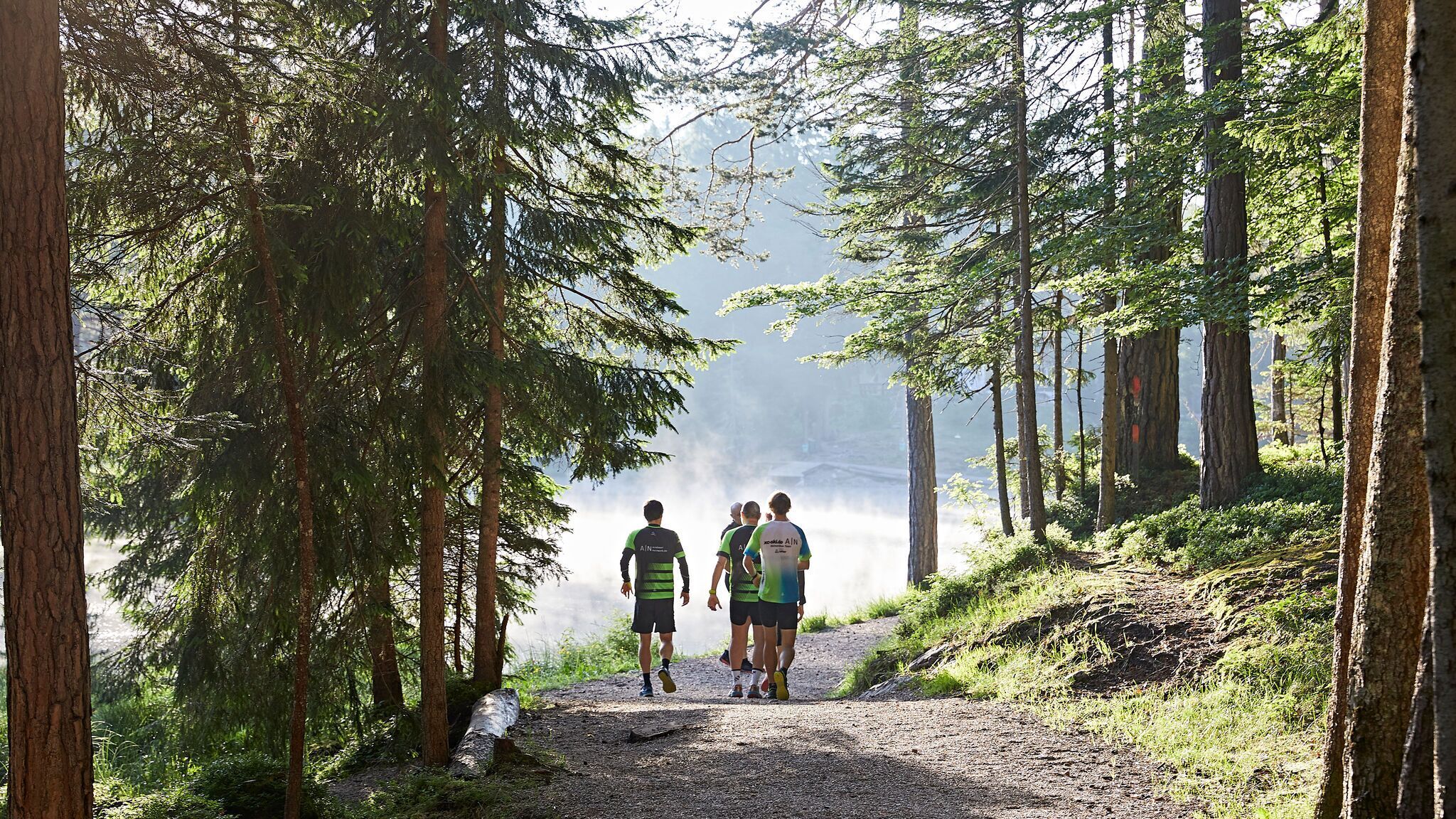
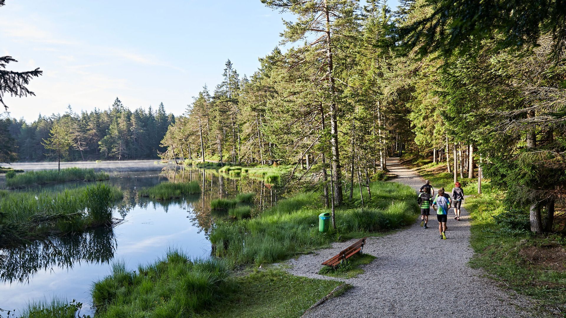
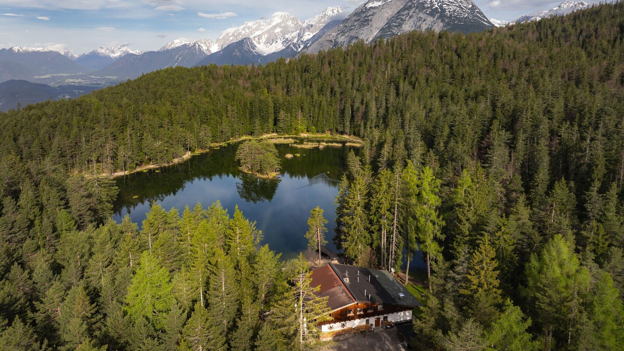
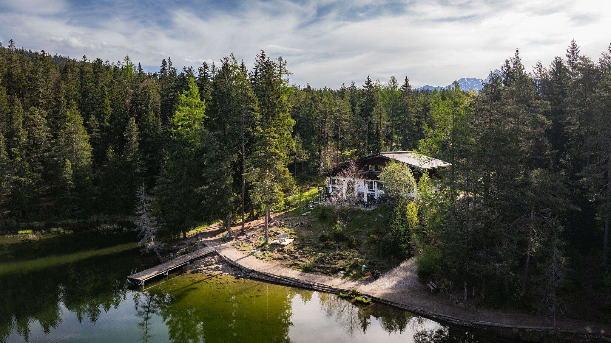
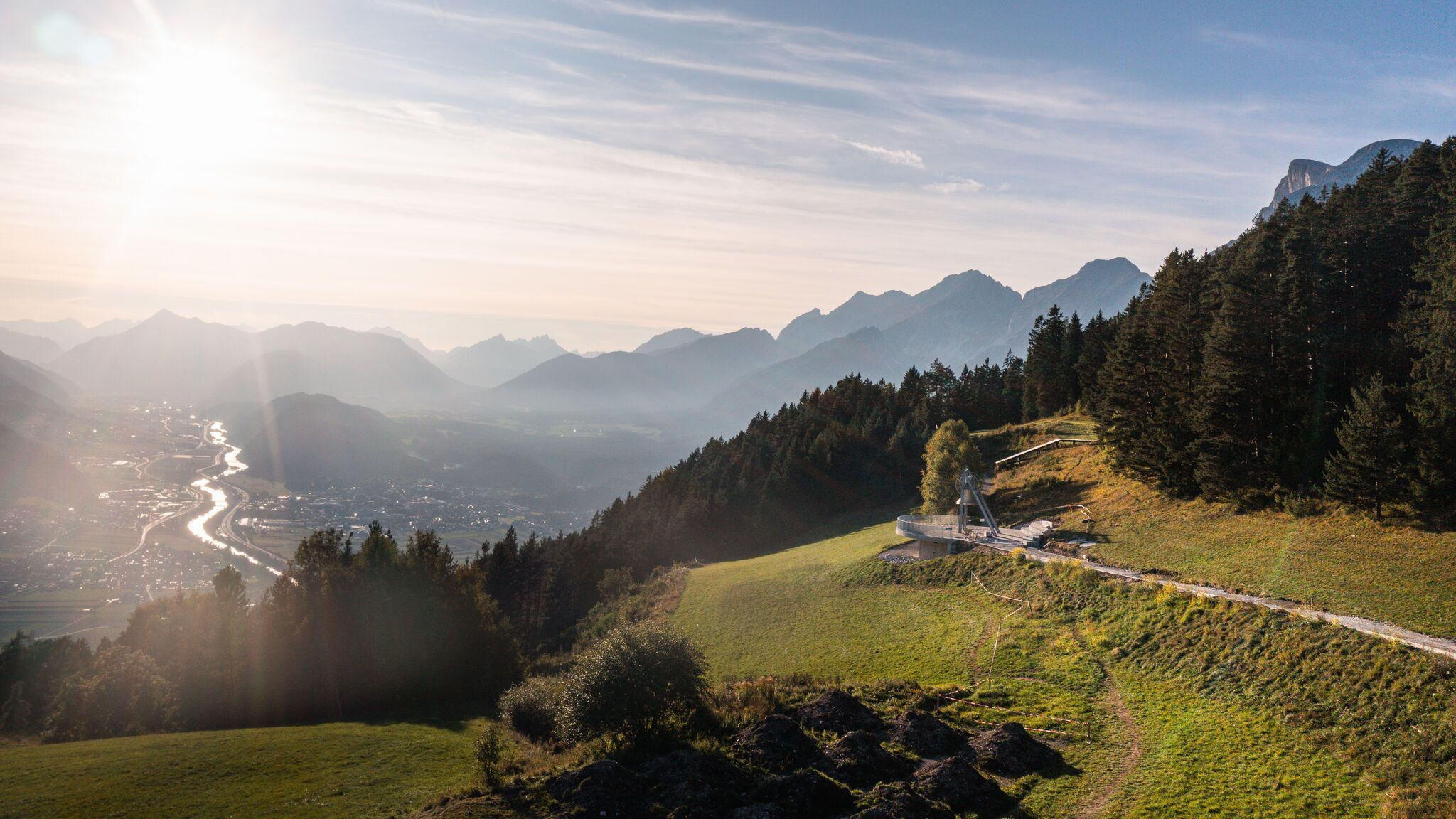

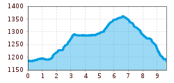
The route starts at the Möserer See parking lot, following a gravel path before turning left onto the narrow Brochweg. Shortly after, the trail passes the Peace Bellof Mösern, one of the largest free-standing bells in the Alps. From here, a spectacular view opens up over the Inn Valley and the surrounding mountain peaks. As a symbol of peace, the bell rings daily at 17.00, creating a special moment of reflection and tranquility.
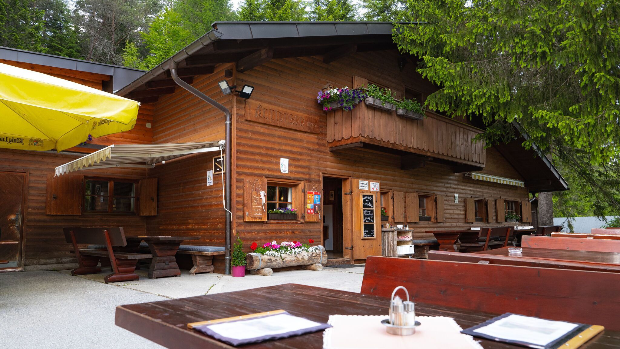
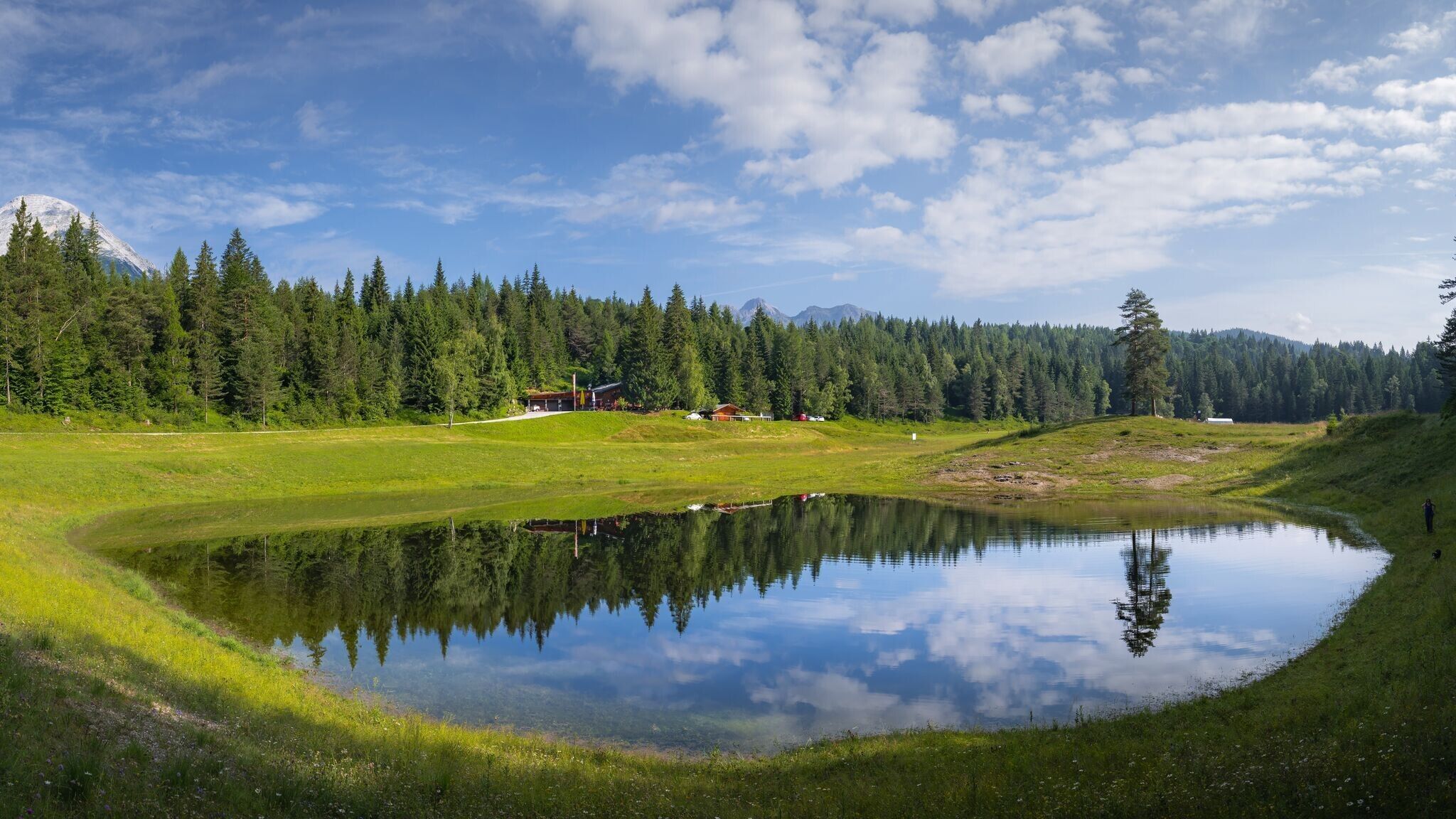
The trail then descends gently towards Lottensee, before gradually ascending to the Lottenseehütte. Lottensee is a periodic lake, meaning it appears irregularly and may not have water in certain years.
From the Lottenseehütte, the route continues along the Lentschenauweg, a forest road leading to Wildmoossee, another periodic lake that does not appear every year.
Here, the trail takes a sharp right turn onto a steep forest path, climbing towards Brunschkopf. At a trail junction, the route descends to the right, leading back to Möserer See and the starting point.
This loop offers a diverse mix of forest and natural trails, as well as an exciting downhill section for trail runners.
The indicated running time is just a guideline and depends on your personal fitness level.
Take the bus to Mösern, get off at the "Hinterfeldlift" stop, and walk 10 minutes to the starting point at parking lot P3 by the lake Möserer See.
All real-time connections can be found in the route planner.
From Innsbruck or from Landeck/Reschen, take the A12 Inntalautobahn to the Telfs Ost exit, then via Telfs and Telfer Berg to Mösern. From Garmisch, take the route through Mittenwald to Scharnitz, then continue to Seefeld and Mösern.
In Mösern, drive to the bus stop "Hinterfeldlift," follow the signs to Möserer Lake, and take Möserer Seeweg. Park at parking lot P3 by the lake Möserer See.
Parking at the P3 Lake Möserer See – Mösern.
You can find all other parking options in Mösern here.


