
Difficulty:difficult
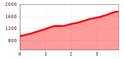
Length:14.5 kmDuration:8:00 hElevation uphill:1,020 m
From the parking lot of the Rifenal-Bahn it's partly off the piste, but also through the forest, up to the Zammer Alm.
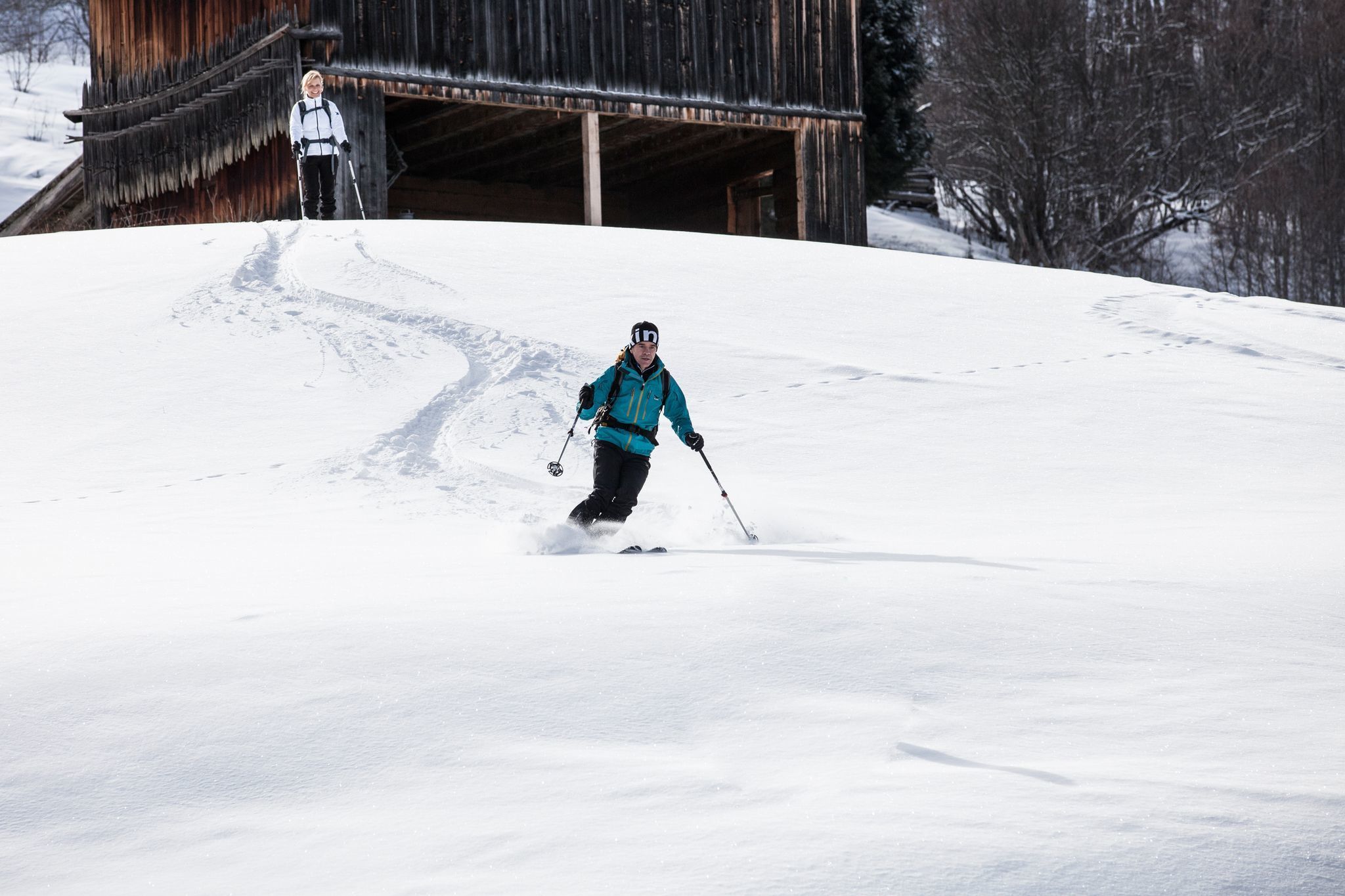
Moderate tour up to the Zammer Alm. The descent can be made via the ski slope. However, here are the times in which the slope preparation is observed.
Length: 3847 m Ascent: 823 m Descent: 8 m Lowest point: 948 m Highest point: 1764 m


