Snowshoe hike Route - Mittelberg till Wiese

St. Leonhard im Pitztal / Ötztal Alps
Difficulty ratings: easy
Route length: 21.0 km

Route - Mittelberg till Wiese

Tour information

  • Requirement: easy
  • Length: 21.0 km
  • Elevation uphill:20 hm
  • Elevation downhill:530 hm
Highest point1,691 m

Starting point

all hamlets in St. Leonhard

Finishing point

all hamlets in St. Leonhard
  • Fitness level 6 / 6
  • Technique 3 / 6

Best time of year

  • January
  • February
  • March
  • April
  • May
  • June
  • July
  • August
  • September
  • October
  • November
  • December

Trail condition

enquire about avalanche risk, not signposted
Source: TVB Pitztal

Description

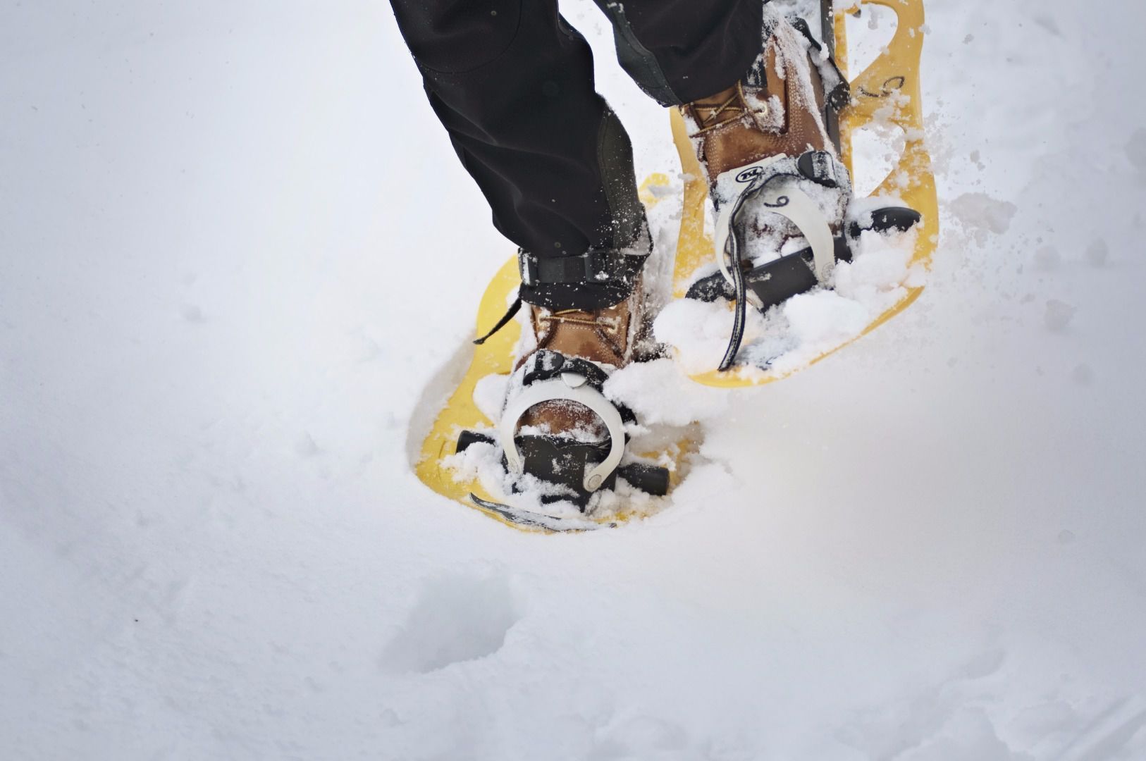
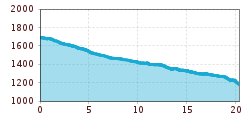
The valley hiking trail follows the Pitze river from Mittelberg to Wiese. It is particularly popular with walkers and locals. You can access this hiking trail in every hamlet of St Leonhard and can walk into or out of the valley. You can return as you like either via the same route on foot or by using the Regio shuttle bus.

Duration: optionally, access and exit is possible in every hamlet. 
 

Getting here

  • Arrival by public transport

    Board the bus at any stop along the route from Mittelberg to Wiese.

  • Parking

    St. Leonhard Mittelberg Glacier Cable Car Parking Lot

Newsletter

The mountain is calling? So does our newsletter!

In our monthly newsletter we reveal the best holiday tips for Tyrol.