Snowshoe hike Snowshoe hiking Schattberg Thiersee

Thiersee / Brandenberger Alpen (Rofan)
Difficulty ratings: medium
Route length: 4.3 km
Duration: 4:00 h

Around the Schattberg, this tour lives up to its name.

Tour information

  • Requirement: medium
  • Length: 4.3 km
  • Duration: 4:00 h
  • Elevation uphill:239 hm
  • Elevation downhill:0 hm
Highest point1,069 m

Starting point

Village center Hinterthiersee

Finishing point

Wieshof
  • Fitness level 2 / 6
  • Technique 1 / 6

Best time of year

  • January
  • February
  • March
  • April
  • May
  • June
  • July
  • August
  • September
  • October
  • November
  • December

Equipment

Outdoor clothing suitable for the weather (good footwear, rain protection, breathable clothing...), snacks (e.g. fruit, muesli bars, wholemeal bread) and drinks (plan to drink enough), first aid equipment, cell phone with full battery, hiking map and guide book, sun protection (sun cream and glasses, cap), bivouac sack, snowshoes, hiking poles
Source: TVB Kufsteinerland

Description

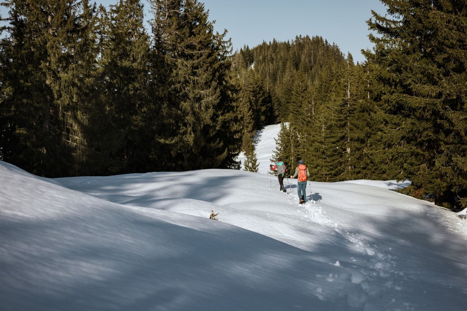
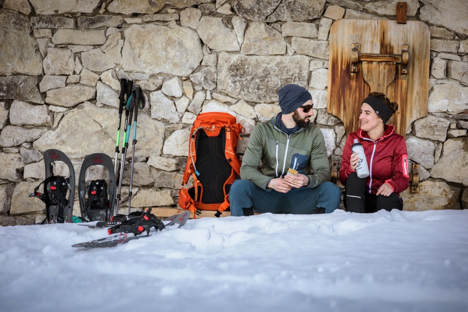
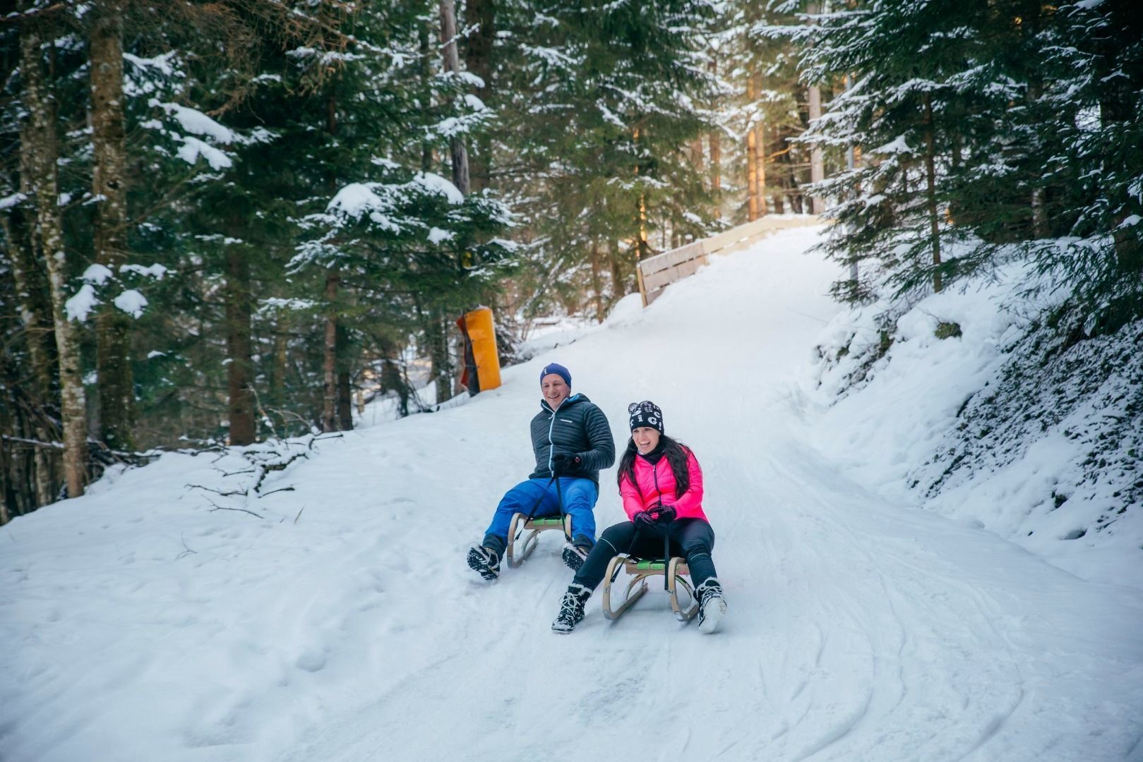
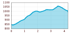
Starting in Hinterthiersee, this loop leads along the shady and therefore very snow-sure side of Hinterthiersee, first to Breitenau, then across snow-covered Alpine meadows and on to Modal. Cross this enchanting clearing to reach the Wieshof snack station and, if you wish, continue down into the valley on a toboggan.

Snowshoe rental at Sporthaler Hinterthiersee.

Nearby huts and mountain restaurants

Getting here

  • Arrival by public transport

    Take bus no. 4046 in the direction of Grub to the bus stop "Hinterthiersee Dorf". Travel free of charge within the region with the KufsteinerlandCard.

  • Parking

    Elementary school Hinterthiersee, free of charge.

Weather

Snow depth
Now: 30 cm,
Next snowfall: 01. Apr 2026
+16 cm
Newsletter

The mountain is calling? So does our newsletter!

In our monthly newsletter we reveal the best holiday tips for Tyrol.