

Place:Leutasch
:Alpine pasture / hut / mountain restaurant
Family-friendly winter hike with toboggan run to the Hämmermoosalm.
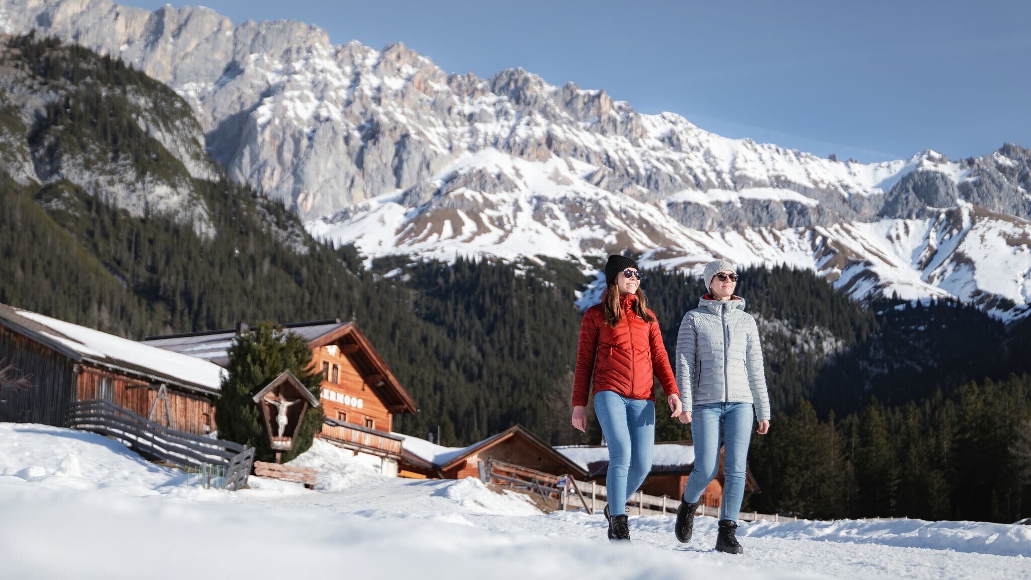
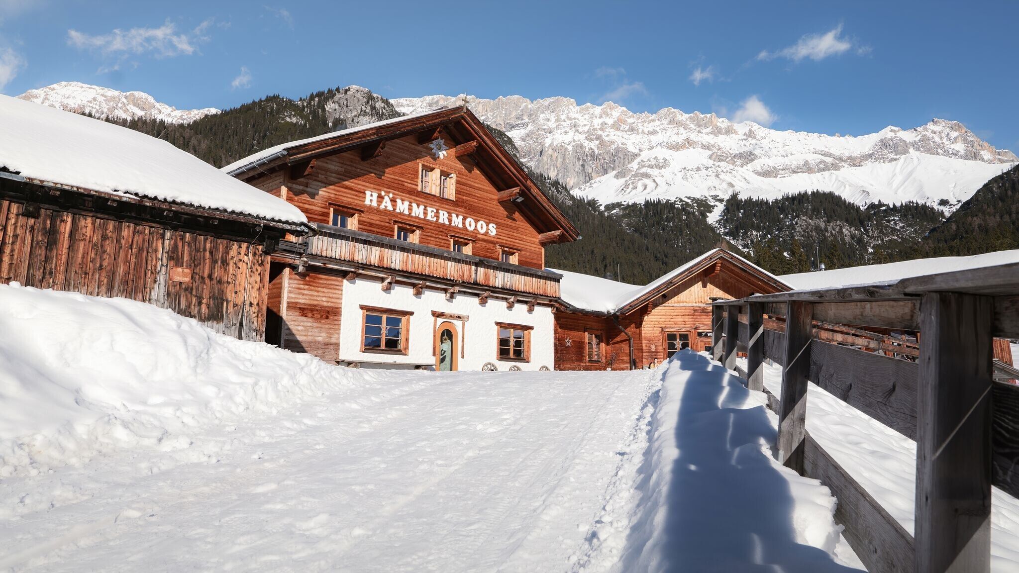
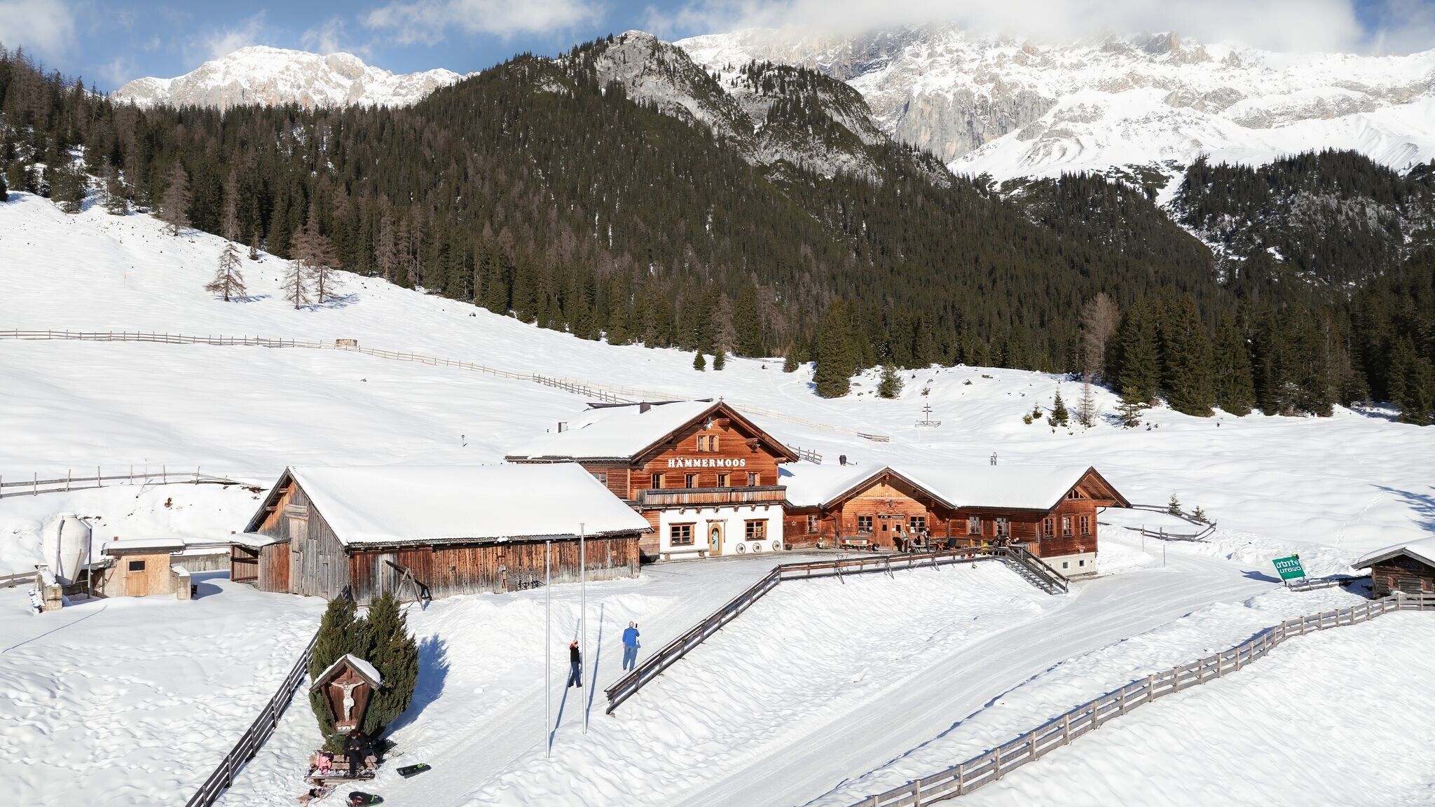
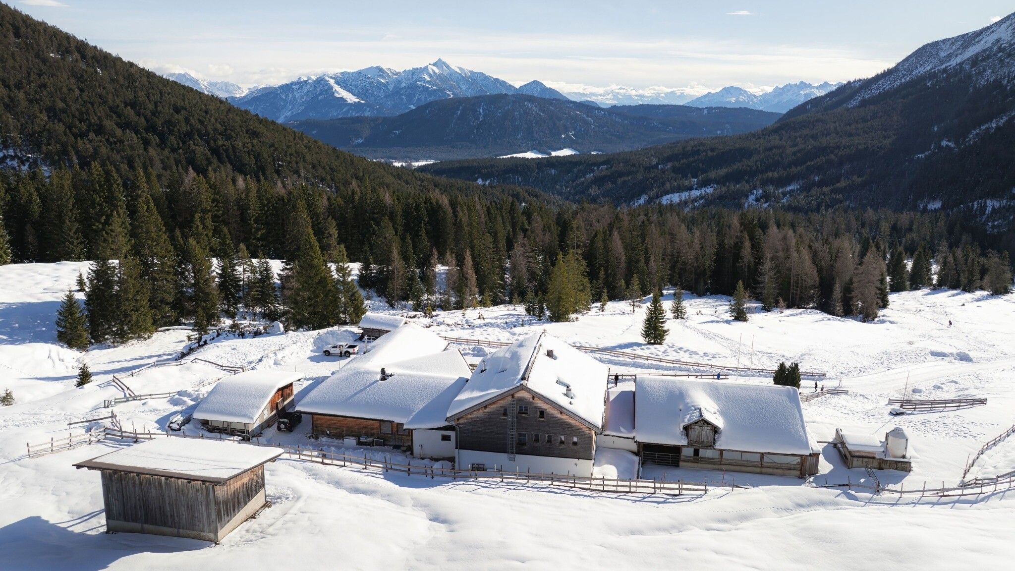
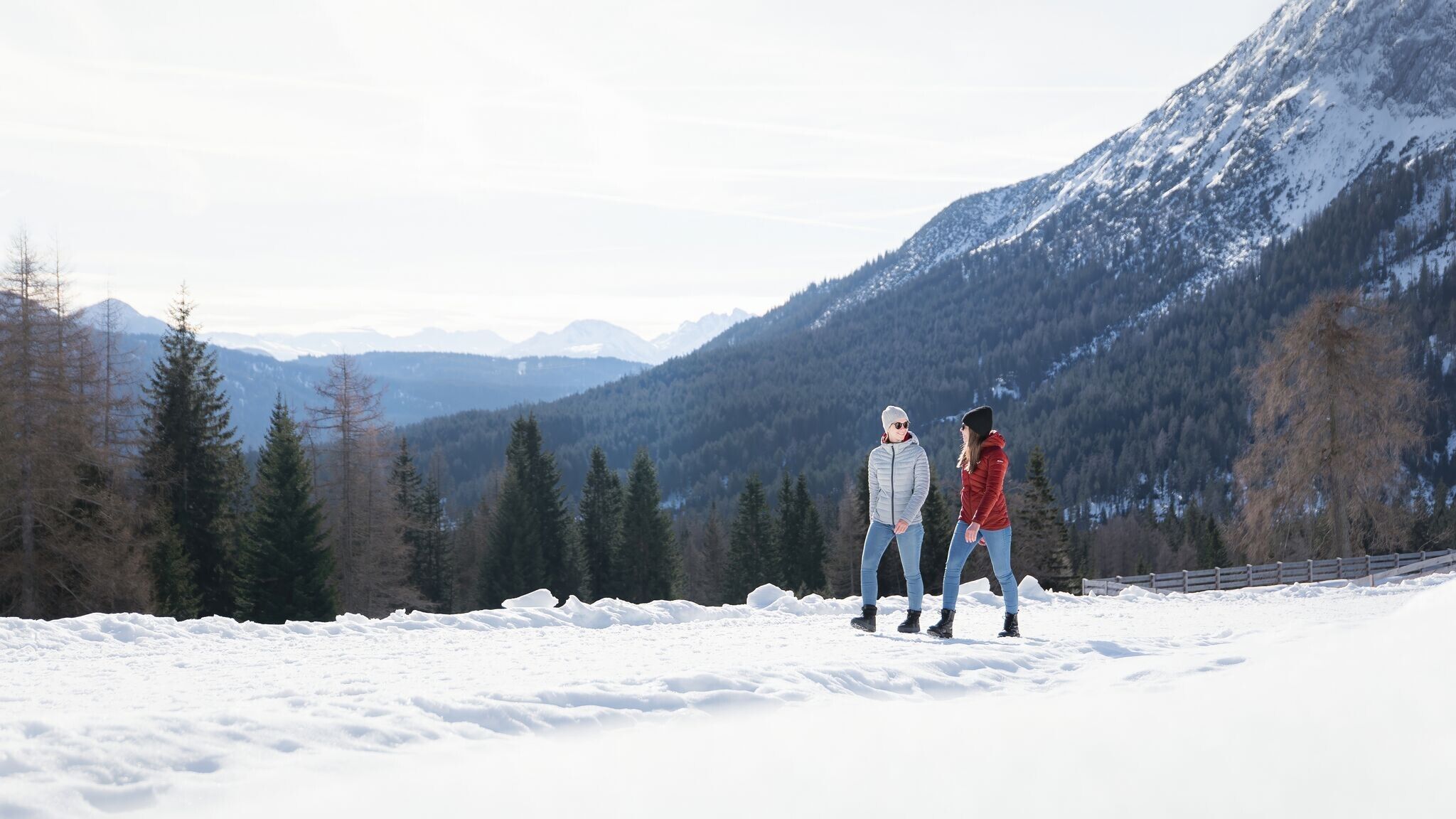

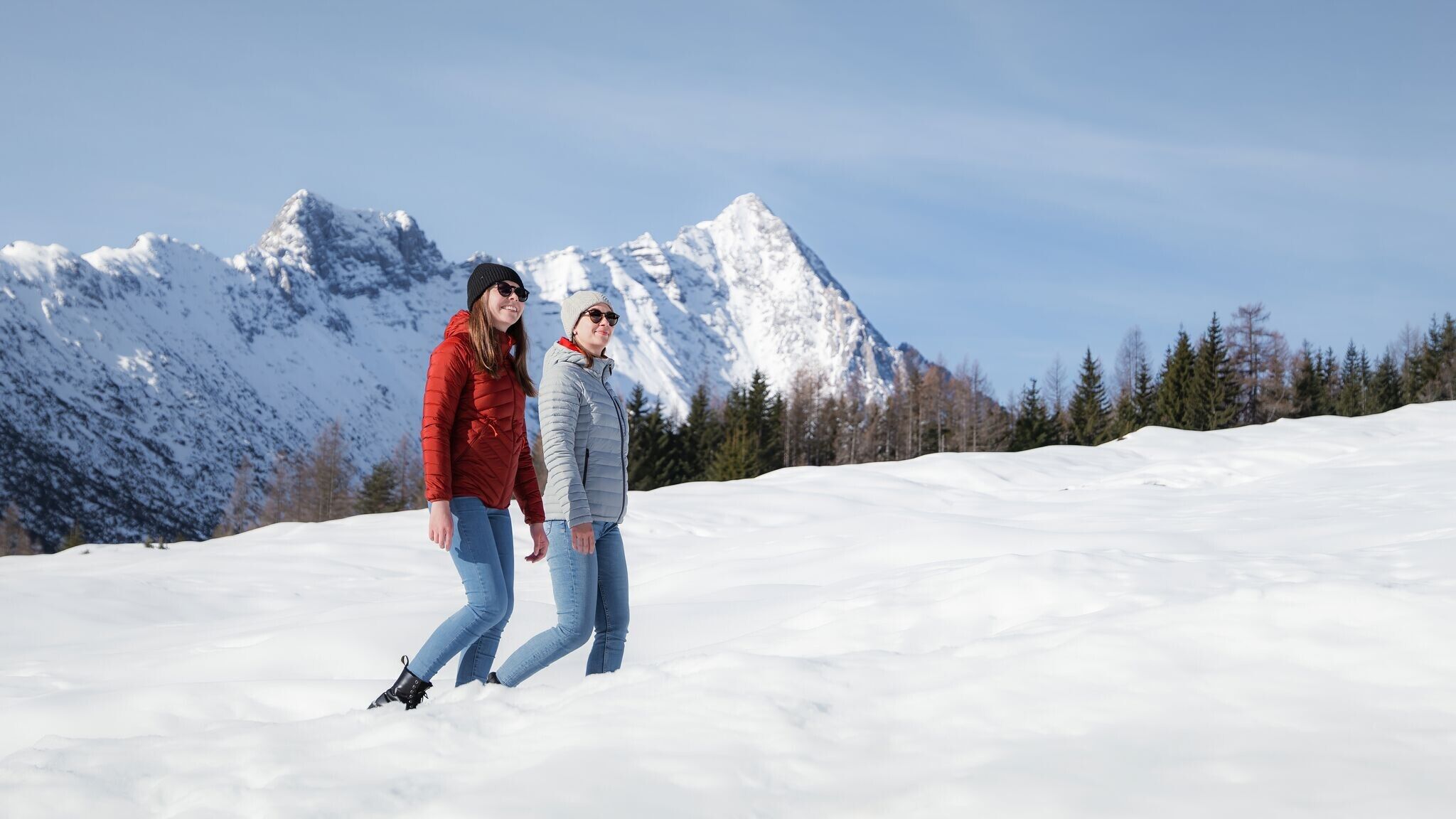

Cleared winter hiking trail.
Find all the latest information about the status of winter hiking trails, toboggan runs and ice skating rinks in our Winter Sports Report for the Region Seefeld.
Wear multiple layers, warm gloves, hat, waterproof jacket and pants, as well as waterproof winter hiking boots.
For better support and comfort, poles and crampons (spikes) are helpful, especially in difficult conditions.
This is a cleared winter hiking trail. However, icy or slippery spots may still occur.
This short, family-friendly winter hike starts either at the info hut at the entrance of the Gaistal valley and follows the Leutascher Ache upstream to the trail sign for Hämmermoosalm, or alternatively, from the last (with fees) hiking parking lot at Salzbach (P3-5) directly to the hut ascent. On the way down, the route can also be taken via the Hämmermoosalm toboggan run – so if you like, you can bring a sled along.
The relaxed ascent follows a wide hiking trail up to the cozy Hämmermoosalm at 1,417 meters. There, the traditional kitchen treats you to regional delicacies and seasonal specialties, while aromatic homemade schnapps can warm the heart if desired. Afterwards, you can sled or hike back down. Alternatively, you can continue to Gaistalalm (1,366 m) before heading back to the valley.
Take the bus to Leutasch and get off at the 'Gaistal/Salzbach' bus stop.
All real-time connections can be found in the route planner.
From Innsbruck, take the A12 Inntalautobahn to the Seefeld/Garmisch exit, then continue over the Zirlerberg to Seefeld and follow the signs to Leutasch. From Landeck/Reschen, take the A12 to the Telfs Ost exit, then drive over the Telfer Berg and follow the signs to Leutasch. From Garmisch, pass through Mittenwald on the way to Leutasch.
In Leutasch, take the Buchener Landesstraße to Platzl and then drive towards Plaik. After that, take the road through the Klamm district. Here, you'll find the three parking lots 'Salzbach' P3, P4, and P5. Park at one of these parking lots.
Parking lots P3, P4, and P5 'Salzbach' in Gaistal - Leutasch.
You can find all other car parks in Leutasch here.


