

Opening hours:Today closed
Place:Mösern
:Restaurant
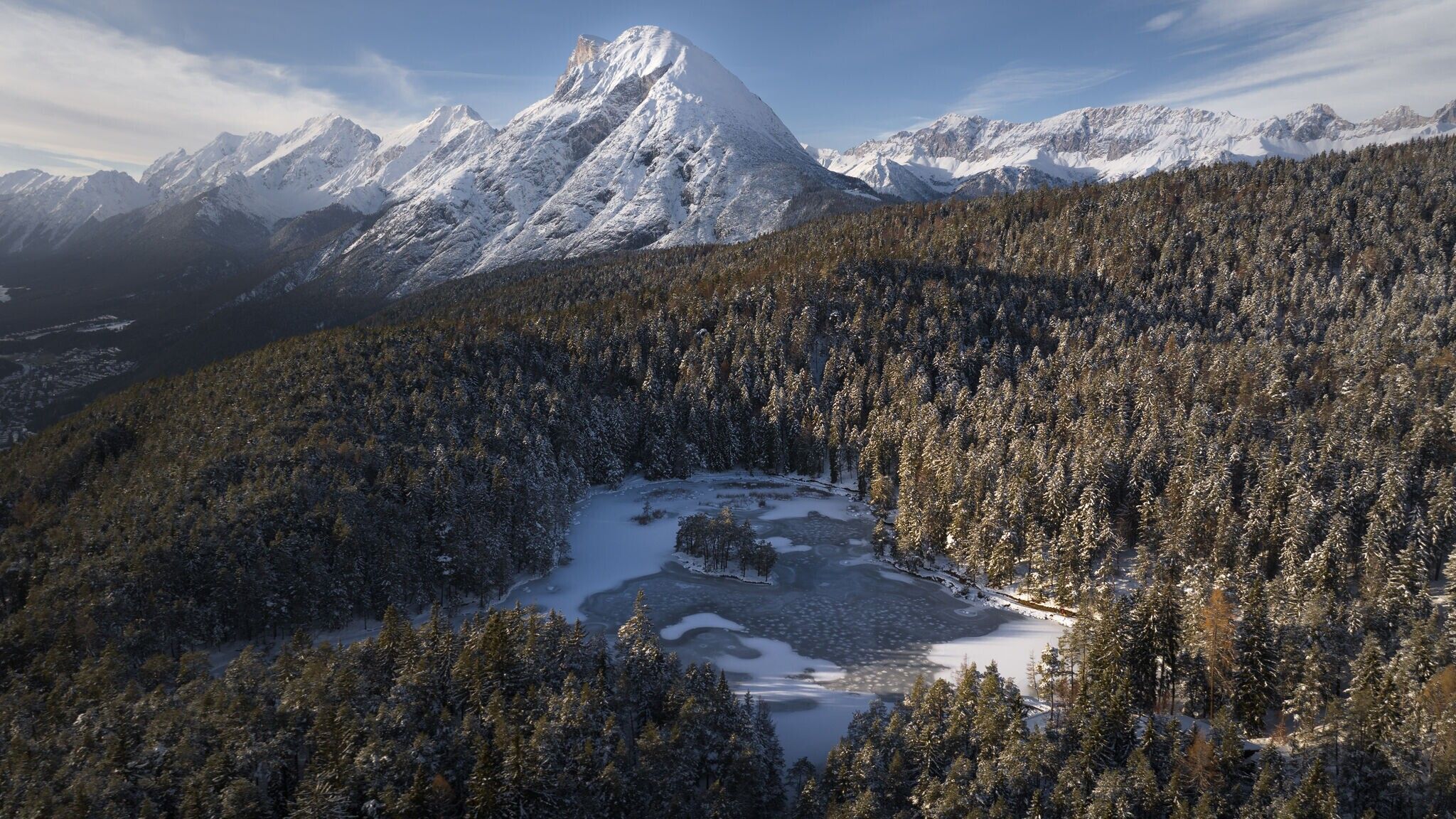
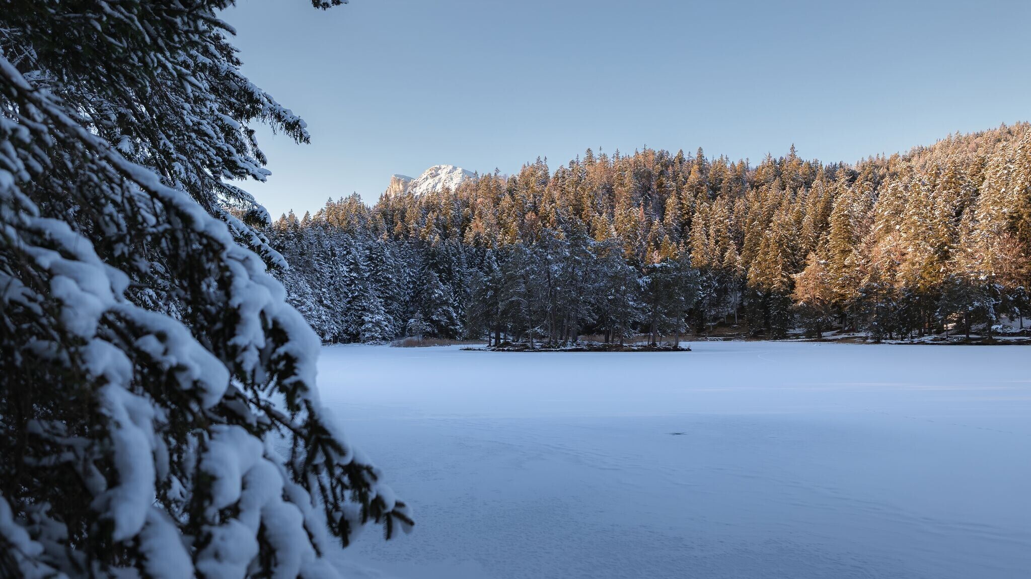
Idyllic forest hike to the wintery snow-covered Möserer See lake.
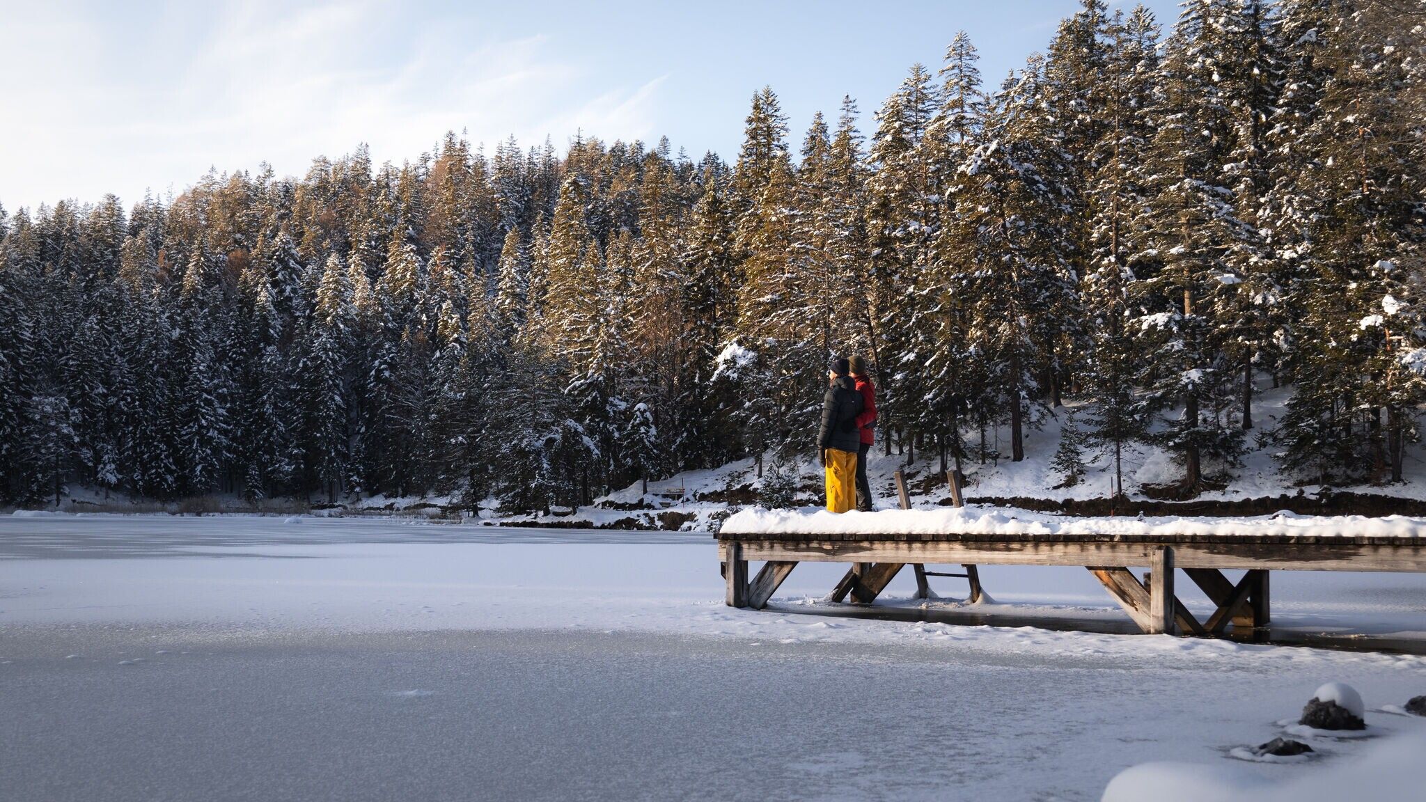
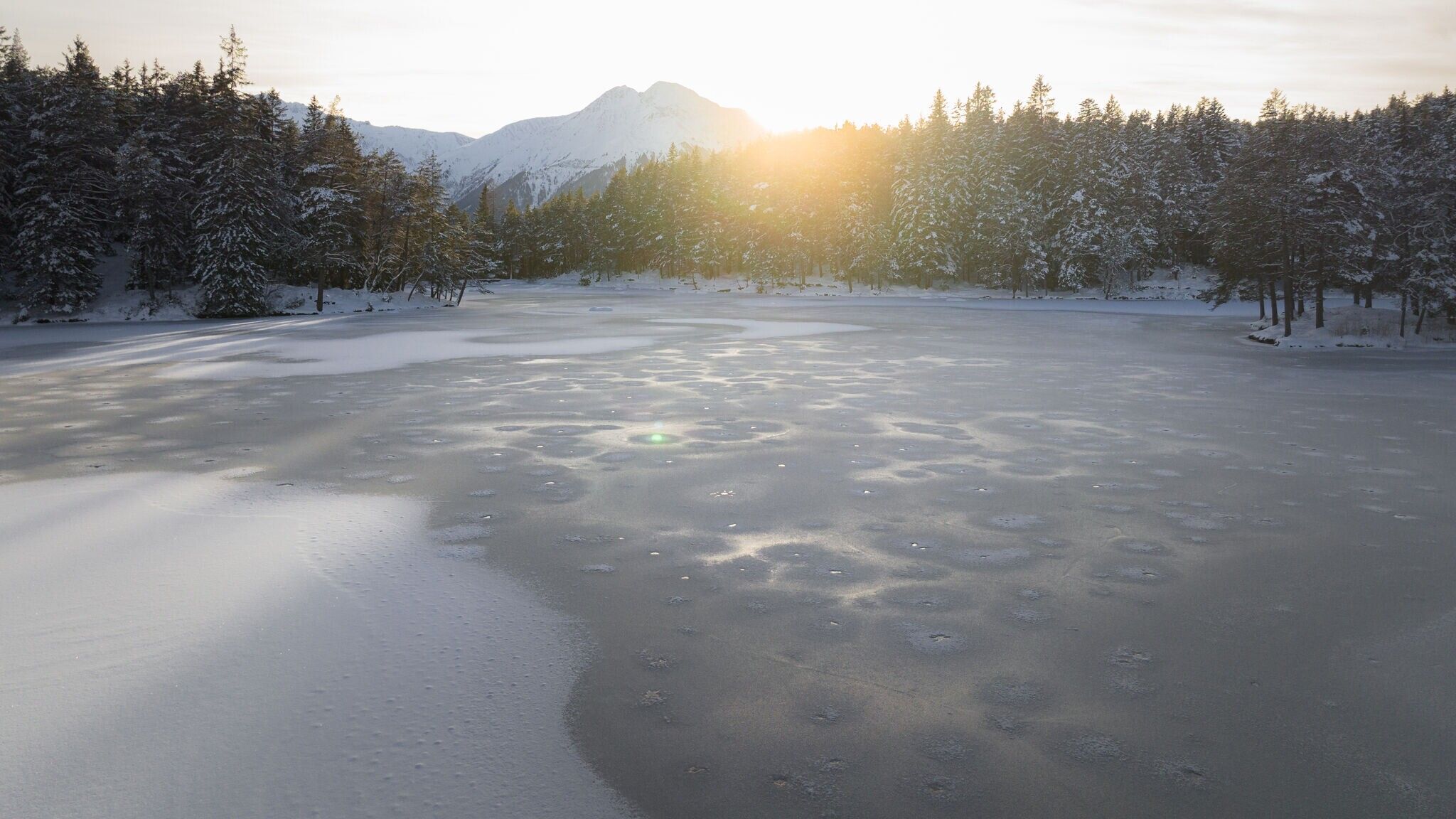
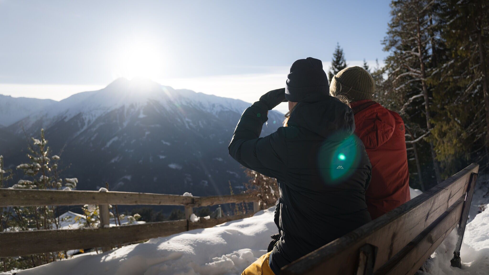
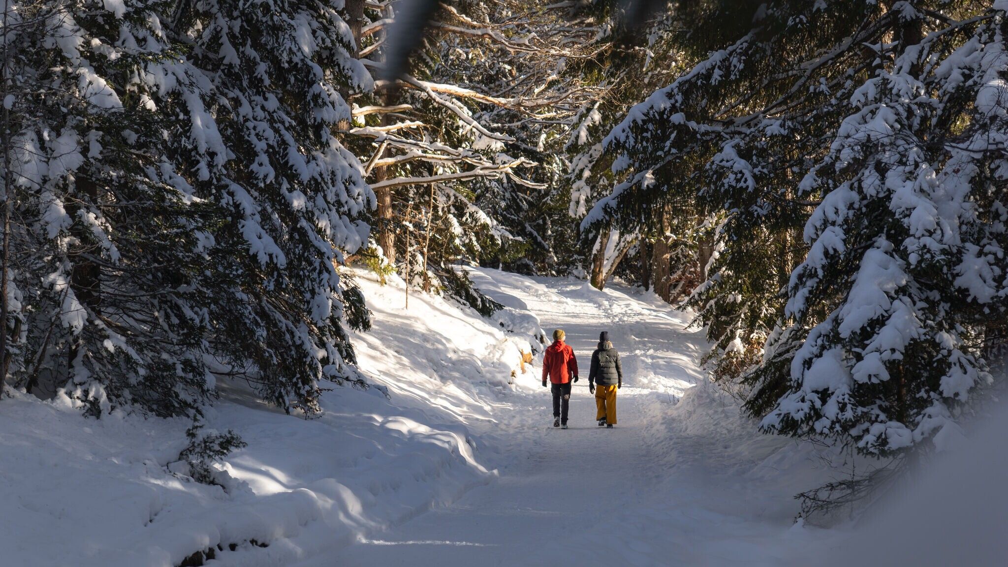
Cleared winter hiking trail.
Find all the latest information about the status of winter hiking trails, toboggan runs and ice skating rinks in our Winter Sports Report for the Region Seefeld.
Wear multiple layers, warm gloves, hat, waterproof jacket and pants, as well as waterproof winter hiking boots.
For better support and comfort, poles and crampons (spikes) are helpful, especially in difficult conditions.
This is a cleared winter hiking trail. However, icy or slippery spots may still occur.
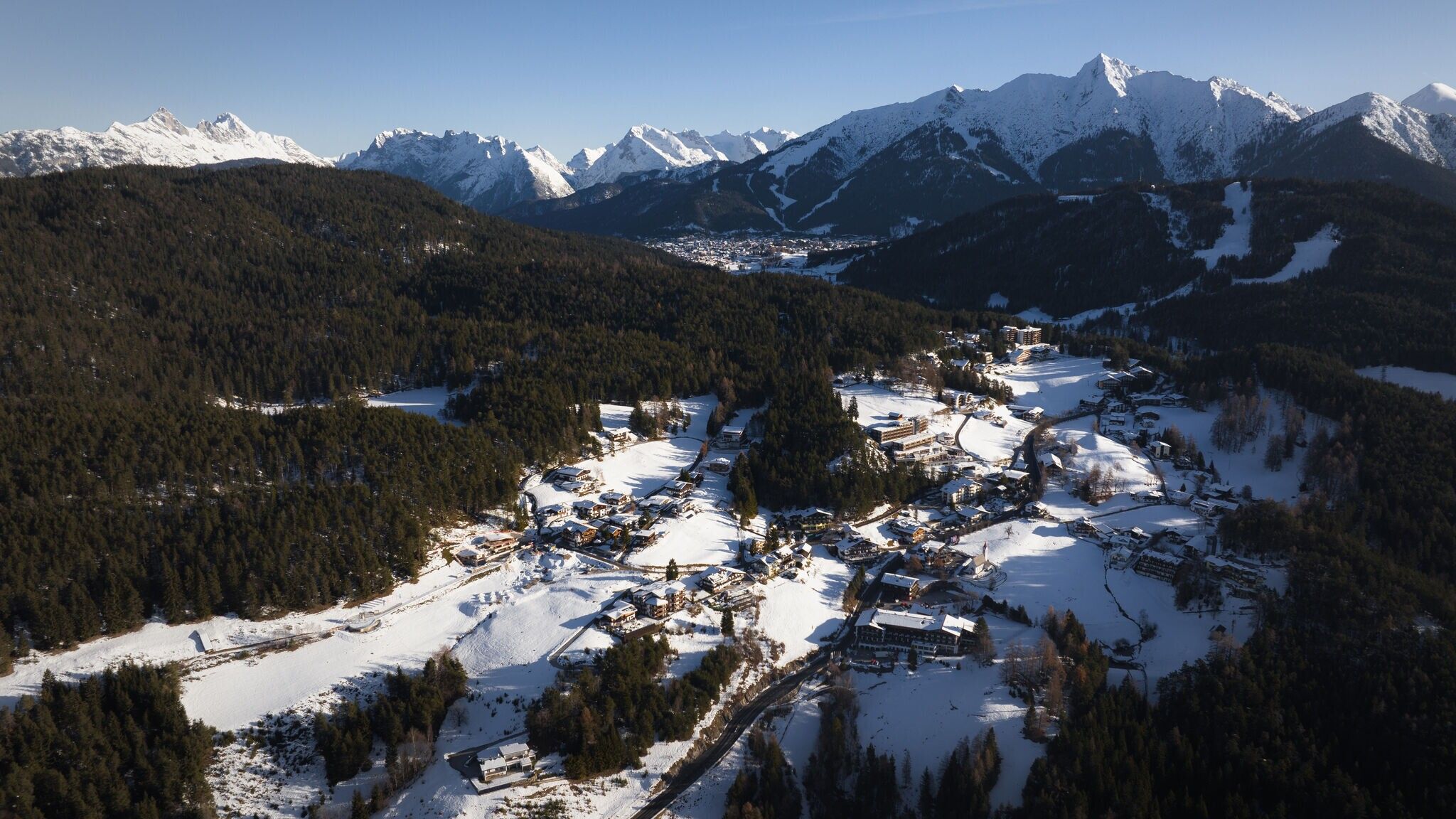
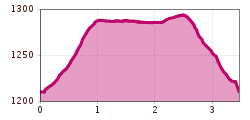
This scenic forest walk to Lake Möserer See starts directly from the Mösern Information Office on the main road. From there walk a short distance along the road downhill and at the next opportunity turn right onto the Broch-Weg. Follow this uphill for the entire length and finally, at the edge of the forest, change to the signposted footpath to the Lake Möserer See.
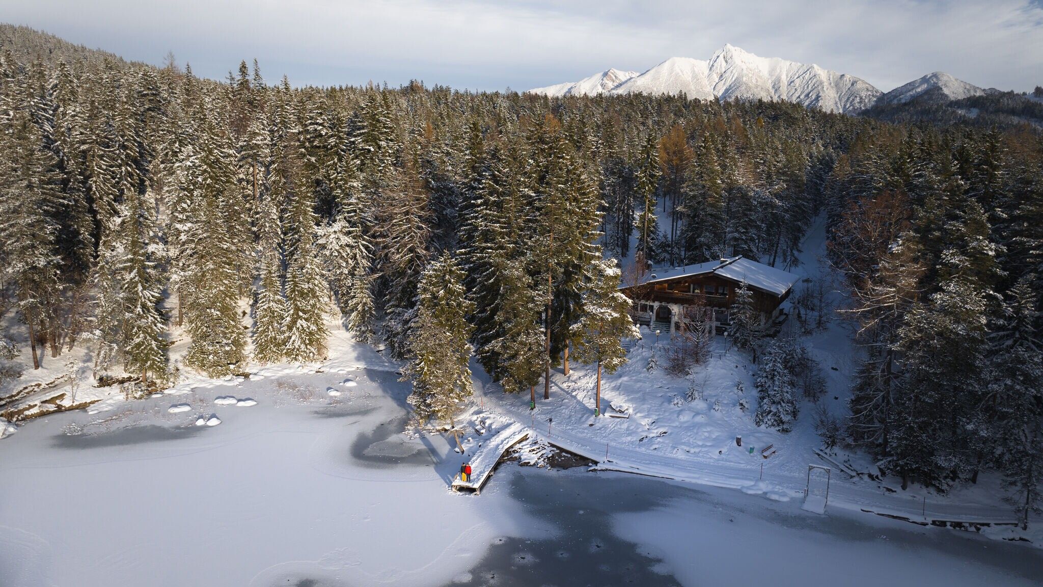
After a short uphill section, the hiking trail meets a wide gravel road and then branches off a little further to the left to theMöserer Seestub'n. Avoid the cosy sun terrace here for the time being and enjoy a wintery snow-covered lake circuit in any direction. Halfway up the mountain, the Möserer Seestubn'n is impressively set against the sparkling mountain panorama and is also happy to pose for a dreamy souvenir photo.
On the way back, you can take a well-deserved break on the sun terrace. After a welcome refreshment of coffee, cake and small delicacies, you return to the hiking trail on the gravel road and take the Broch-Weg downhill to the starting point at the Information Office Mösern.
Take the bus to Mösern and get off at the “Mösern Kirche” stop.
All real-time connections can be found in the route planner.
From Innsbruck or from Landeck/Reschen, take the A12 Inntalautobahn to the Telfs Ost exit, then via Telfs and Telfer Berg to Mösern. From Garmisch, take the route through Mittenwald to Scharnitz, then continue to Seefeld and Mösern.
In Mösern, drive to the Information Office and park at P2.
Parking at the P2 Mösern Information Office – Mösern
You can find all other parking options in Mösern here.


