

Opening hours:Open today
Place:Oetz
:Restaurant
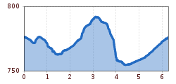
OETZ ZENTRUMSPARKPLATZ -> Beerweg -> Sautens -> Medinger Weg -> OETZ ZENTRUMSPARKPLATZ



Please note the current snow and avalanche report for the coming days: www.oetztal.com/de/winter.html & avalanche.report/albina-web/bulletin/2019-01-07
Appropriate equipment such as breathable and weather-adapted outdoor clothing, wind, rain, snow and sun protection, a hat and gloves, is required for all hikes and routes. Carrying a first aid kit, a mobile phone and possibly a map, as well as sufficient provisions for routes without the possibility of stopping for food, is necessary.
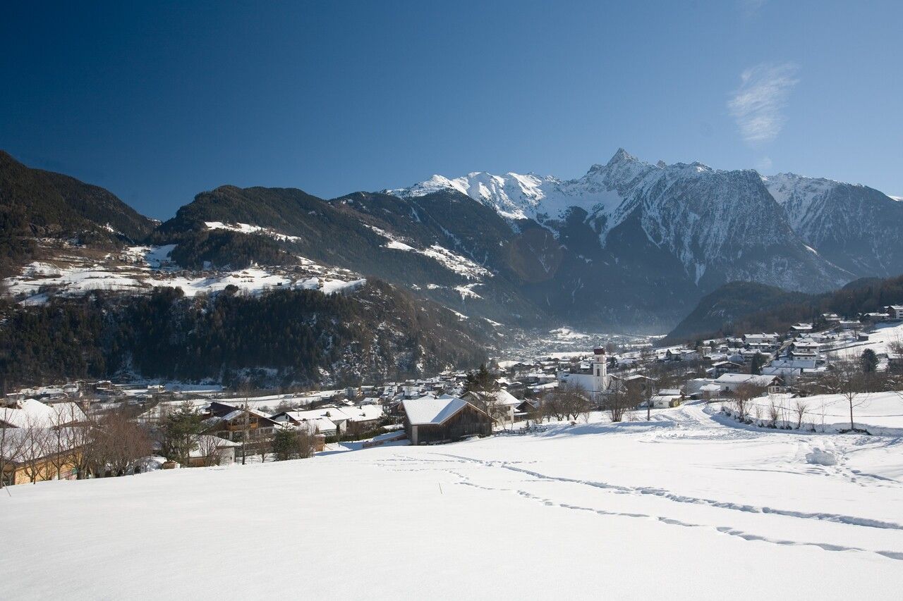
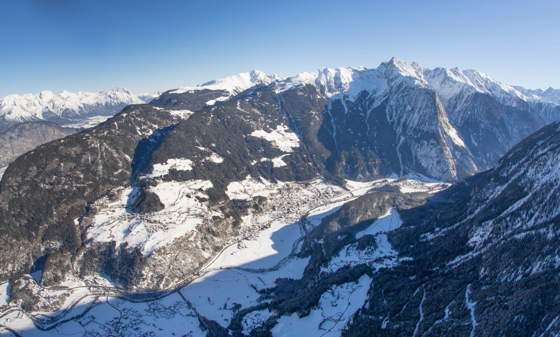
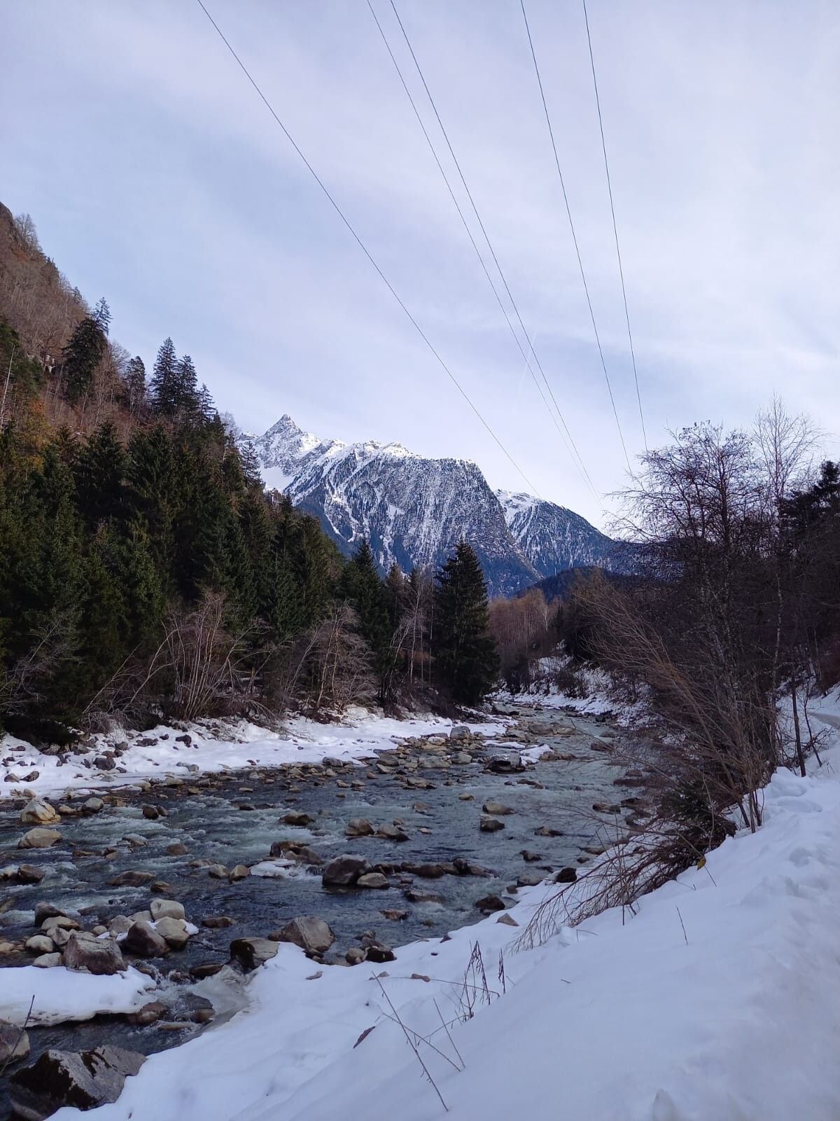
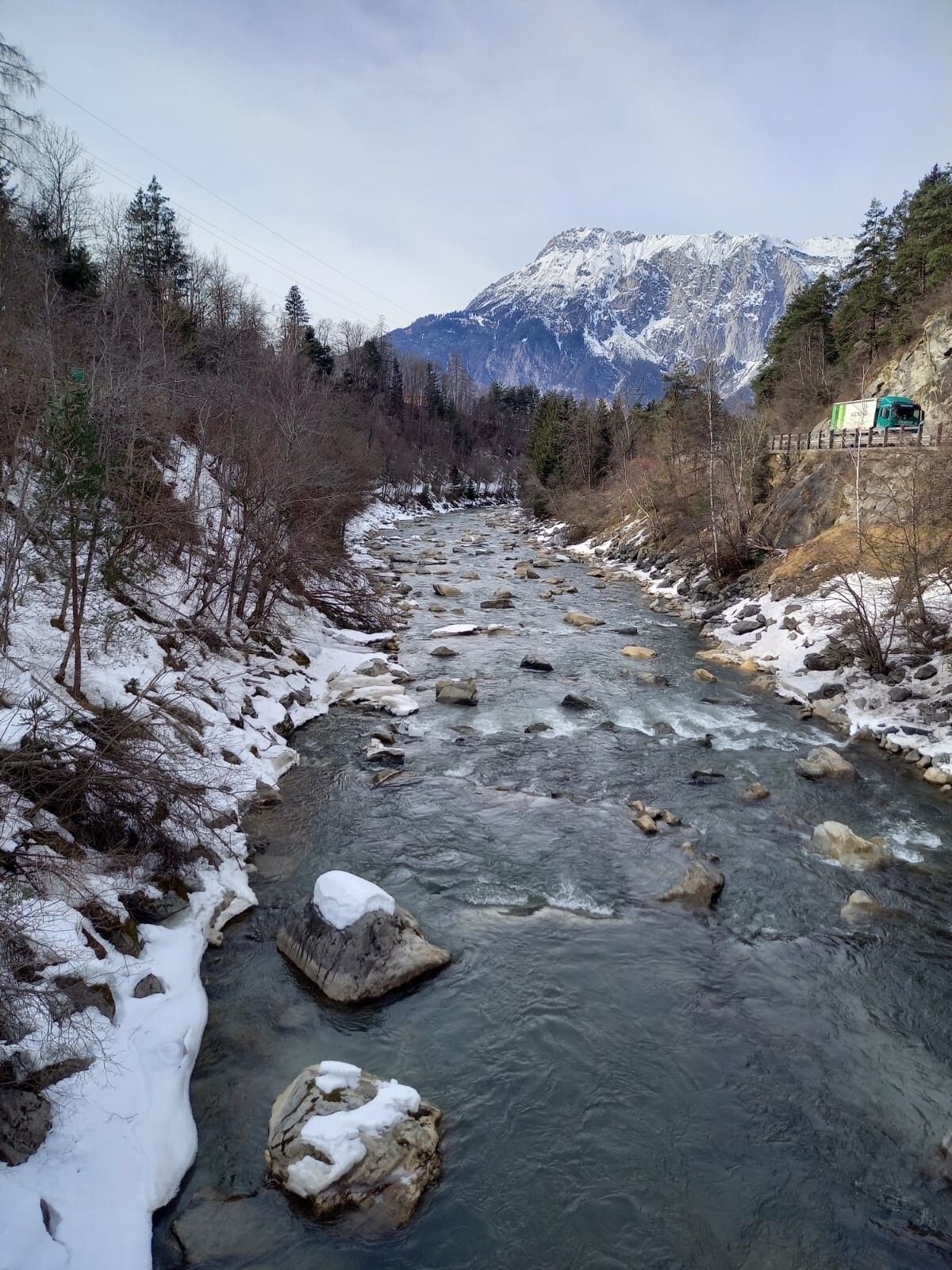
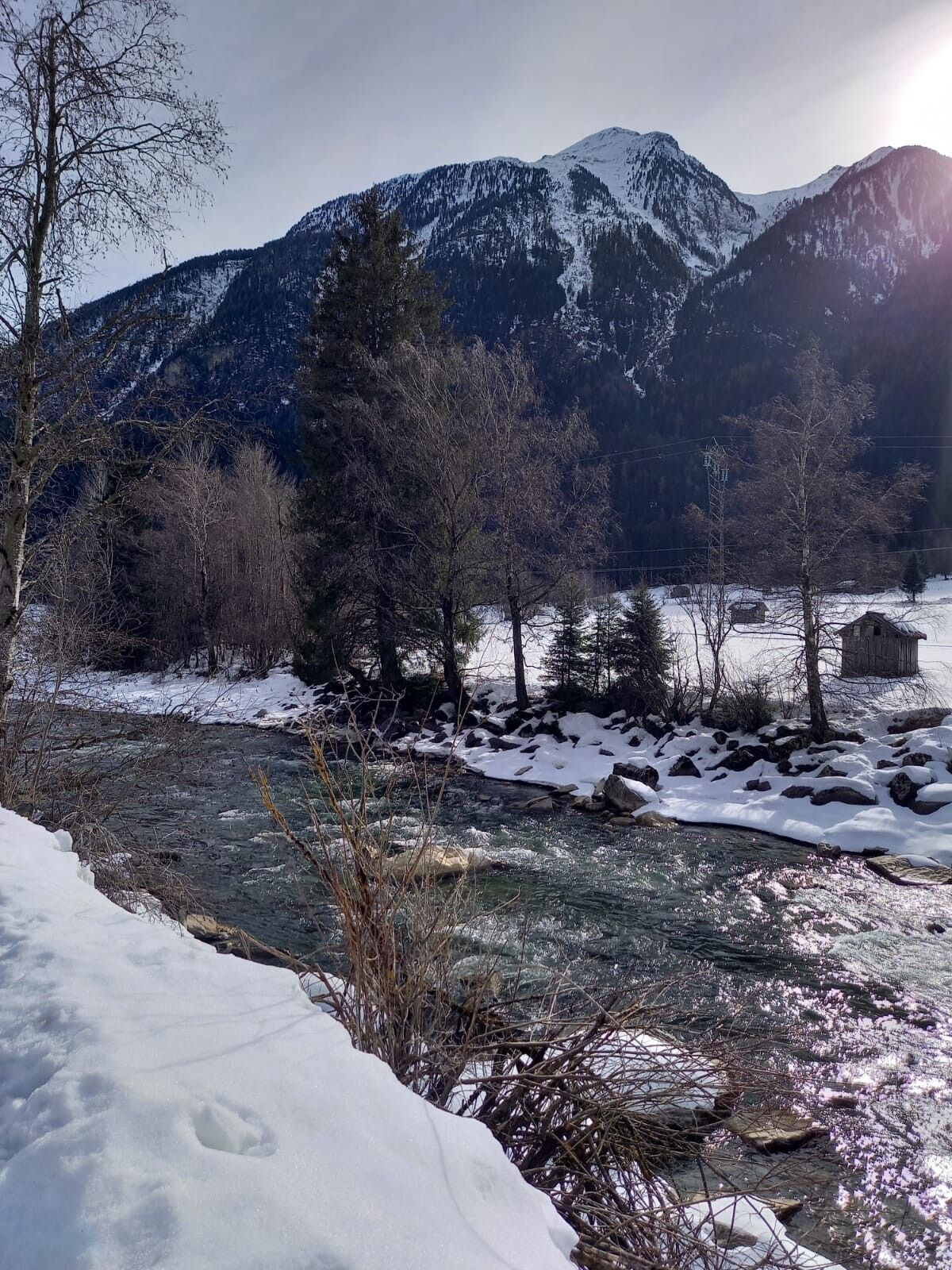
The starting point is the central car park in Oetz. From there, you walk down the paved path to the river and along the Ötztaler Ache to the Piburger bridge. There you cross the river and continue on the Piburger country road to the Beerweg junction. The Beerweg leads across snowy fields to Sautens. On the way back, you go over the Sautner footbridge along the river to the central car park.
Of course, the circular hike can also be started in Sautens.
Travel comfortably and safely by train to the Ötztal train station. The final stop or exit point is the ÖTZTAL train station. Afterwards, you can conveniently and quickly travel through the entire valley to your desired destination by public transport or local taxi companies! The current bus schedule can be found at: http://fahrplan.vvt.at
The car trip to ÖTZTAL. Located in Tyrol, the ÖTZTAL branches off to the south as the longest side valley of the Eastern Alps. Travel by car leads tourists via the Inn valley to the valley entrance and then along the Ötztal. Besides the toll highway, country roads can also be used. With the route planner, your drive can be quickly and conveniently determined: To the route planner: www.google.at/maps
The following parking options are available:
The following parking options are available in Sautens:


