
Difficulty:medium
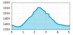
Length:8.3 kmDuration:3:30 hElevation uphill:200 m
Mostly snow-covered, romantic trail through the Flitterwald forest on the Fraderberg in Obernberg.
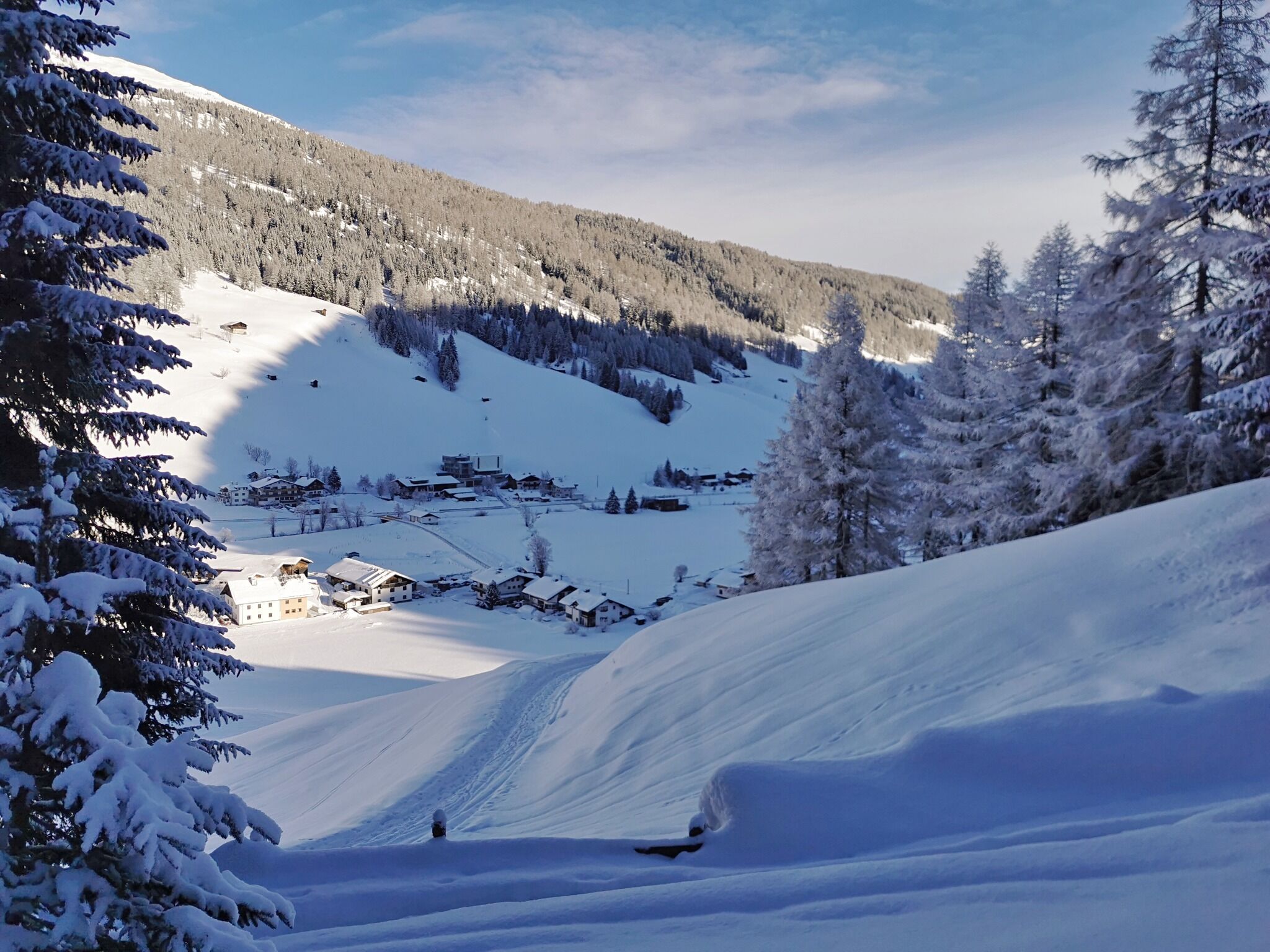
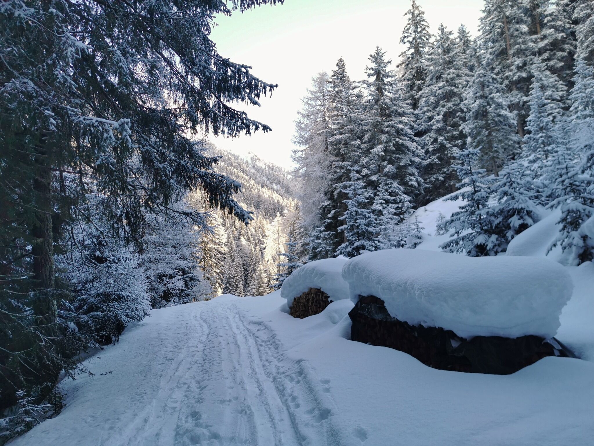


Start the hike at the Obernberg community centre or in front of the Bauernladele, where you can park free of charge. At the fire station, turn off the main road to the south and follow it slightly out of the valley through the Frade residential area. At the farm with sawmill at the south-eastern end, the forest road (no. 95) starts to the south upwards into the forest. Follow it uphill for a while until you reach a fork (yellow hiking trail sign "Obernberg Ortsmitte" (Obernberg town centre)), where the fork leads back down into the valley to the Eben district. Take the Seebachweg back to the church or to the forecourt of the parish.


