Winter hike Winter hiking trail - Sportplatzrunde Itter

Itter / Kitzbühel Alps
Difficulty ratings: easy
Route length: 2.1 km
Duration: 0:30 h

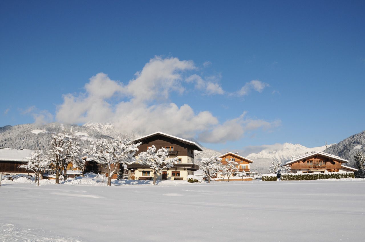
A short, leisurely winter loop for relaxed walks in quiet surroundings.
Tour information

  • Requirement: easy
  • Length: 2.1 km
  • Duration: 0:30 h
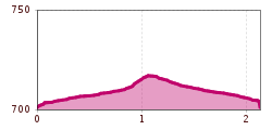
  • Elevation uphill:11 hm
  • Elevation downhill:11 hm
Highest point720 m

Starting point

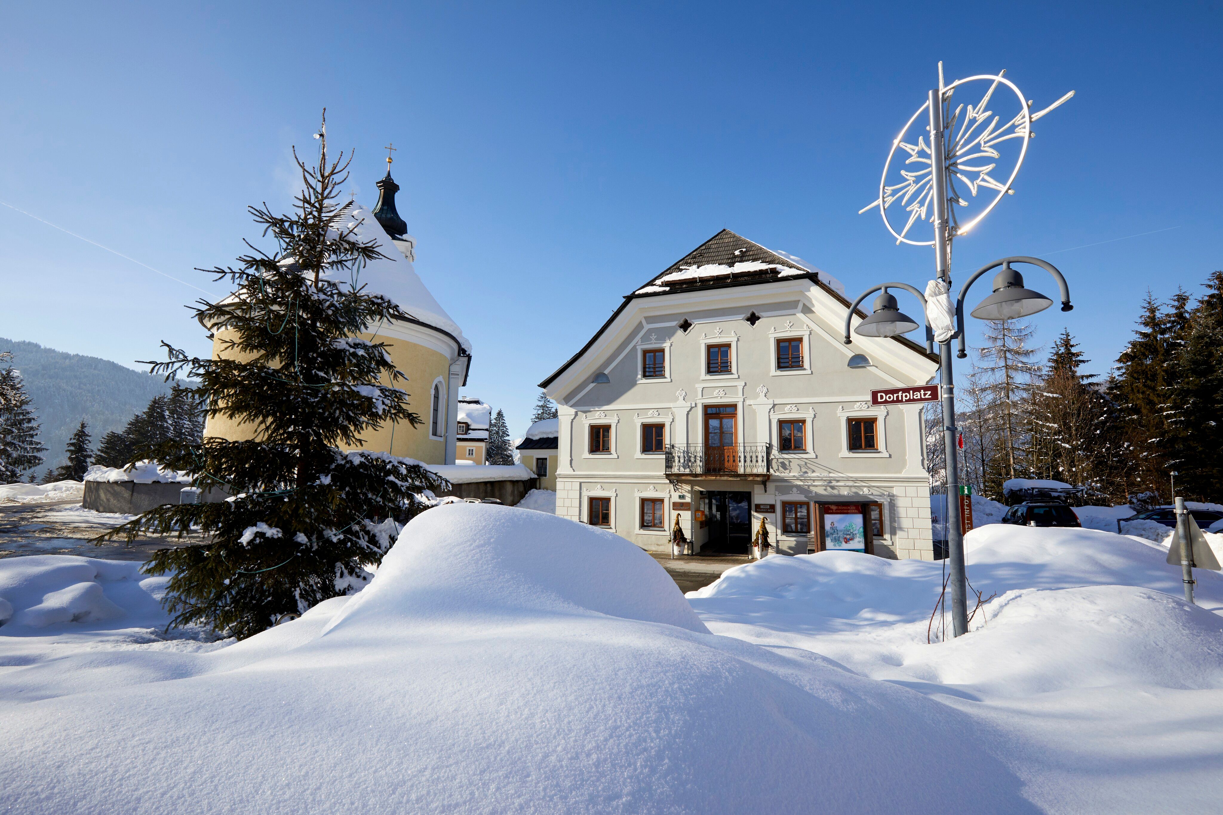
Itter village square

Finishing point

Itter village square
  • Fitness level 1 / 6
  • Technique 1 / 6

Features

  • Circular route
  • Suitable for families
  • suitable for pushchairs

Best time of year

  • January
  • February
  • March
  • April
  • May
  • June
  • July
  • August
  • September
  • October
  • November
  • December

Trail condition

Winter hiking trail

Equipment

warm outdoor clothing, sturdy footwear
Source: Kitzbüheler Alpen Management GmbH

Description

The starting point of this hike is the village square in Itter. From there, follow the signs for no. 2 towards Lindweg. At the fork in the path, keep right. Passing the sports field, you return to the village square in Itter. 

Nearby huts and mountain restaurants

Getting here

  • Arrival by public transport

    Bus stop: Dorfplatz Itter

    Regional guest card = train ticket from Kirchbichl to Hochfilzen + bus ticket from Mariastein to Kitzbühel included! 

    Valid on ÖBB local trains (S, REX) and InterRegio trains (IR) between Kirchbichl - Wörgl and Hochfilzen
    Not valid on RJ, RJX, EC, IC, ICE, D and NJ/EN trains

    More detailed information at: www.hohe-salve.com/mobility
     

  • Parking

    at the village square in Itter

Weather

Today

clear sky
29°C/13°C
0%0l5 km/h

Wed

light rain showers
31°C/13°C
50%2.3l5 km/h

Thu

clear sky
34°C/14°C
0%0l5 km/h
Go to weather forecast

More tours in the surrounding area

Newsletter

The mountain is calling? So does our newsletter!

In our monthly newsletter we reveal the best holiday tips for Tyrol.