

Opening hours:Open today
Place:Hopfgarten im Brixental
:Restaurant, Tavern
A varied walk from the town centre to the tranquil river waters beneath the ice.
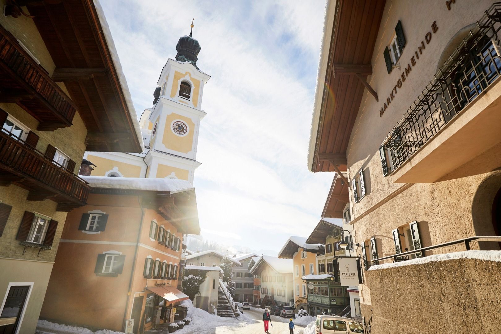
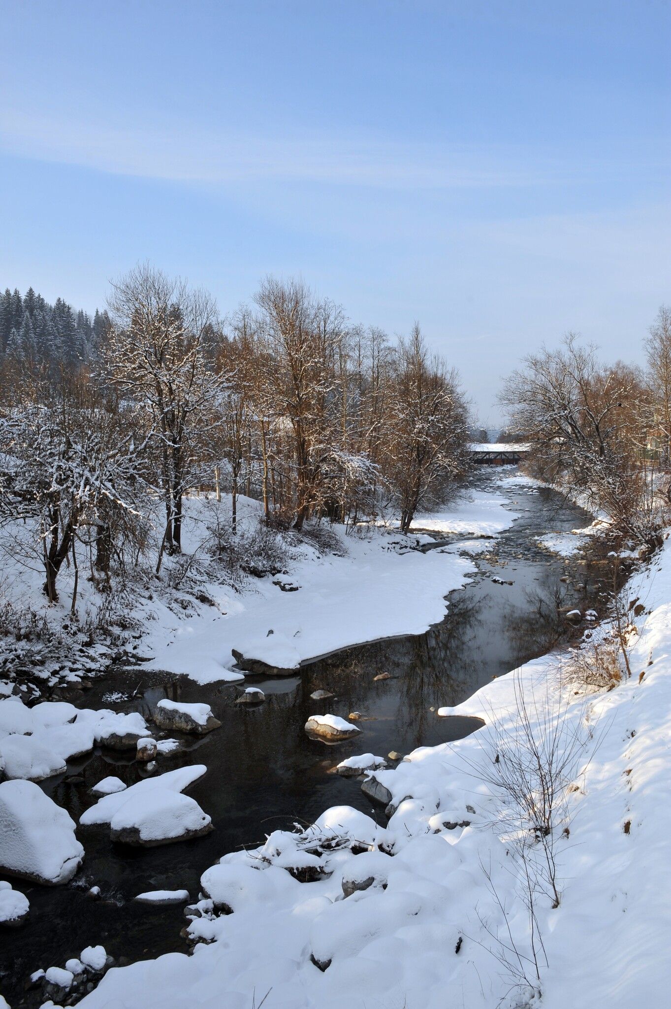
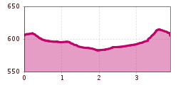
The starting point of the hike is the information office in Hopfgarten. From there you follow the tracks of the long-distance hiking trail KAT Walk into the centre of Hopfgarten. Past the Gasthof Traube, the road leads to the Cafe Lois. Directly in front of the café, opposite the Raiffaisenbank, turn left into Lukasfeld and follow signpost no. 72 to the fish pond. From there, continue in the direction of Itter or Gries (no. 72) until you reach the Ramstätt bridge. After crossing the bridge, keep to the right and walk under the railway subway to Hopfgarten.
Return to the starting point via the market centre.
Bus:Bahnhof Hopfgarten Berglift
Train: Bahnhof Hopfgarten Berglift
Guest card = includes a train ticket from Wörgl to Hochfilzen and a bus ticket from Mariastein to Kitzbühel
Valid on ÖBB local trains (S, REX) and InterRegio trains (IR) between Kirchbichl, Wörgl and Hochfilzen
Not valid on RJ, RJX, EC, IC, ICE, D and NJ/EN trains
For more detailed information, visit: www.hohe-salve.com/mobilität
or www.hohe-salve.com/skibus
Car park P3 Wasserfeld
Car park Centre


