In autumn, there are several hikes in Tyrol where the foliage colours are particularly impressive. One of the most beautiful tours leads through the Pfundser Tscheywhere the larches transform the landscape into a glowing golden sea - a fascinating natural spectacle, especially in late autumn. The hike to the owl meadowsalso offers a unique picture in autumn, when the larch forests at the foot of the Serles glow in vibrant shades of gold.
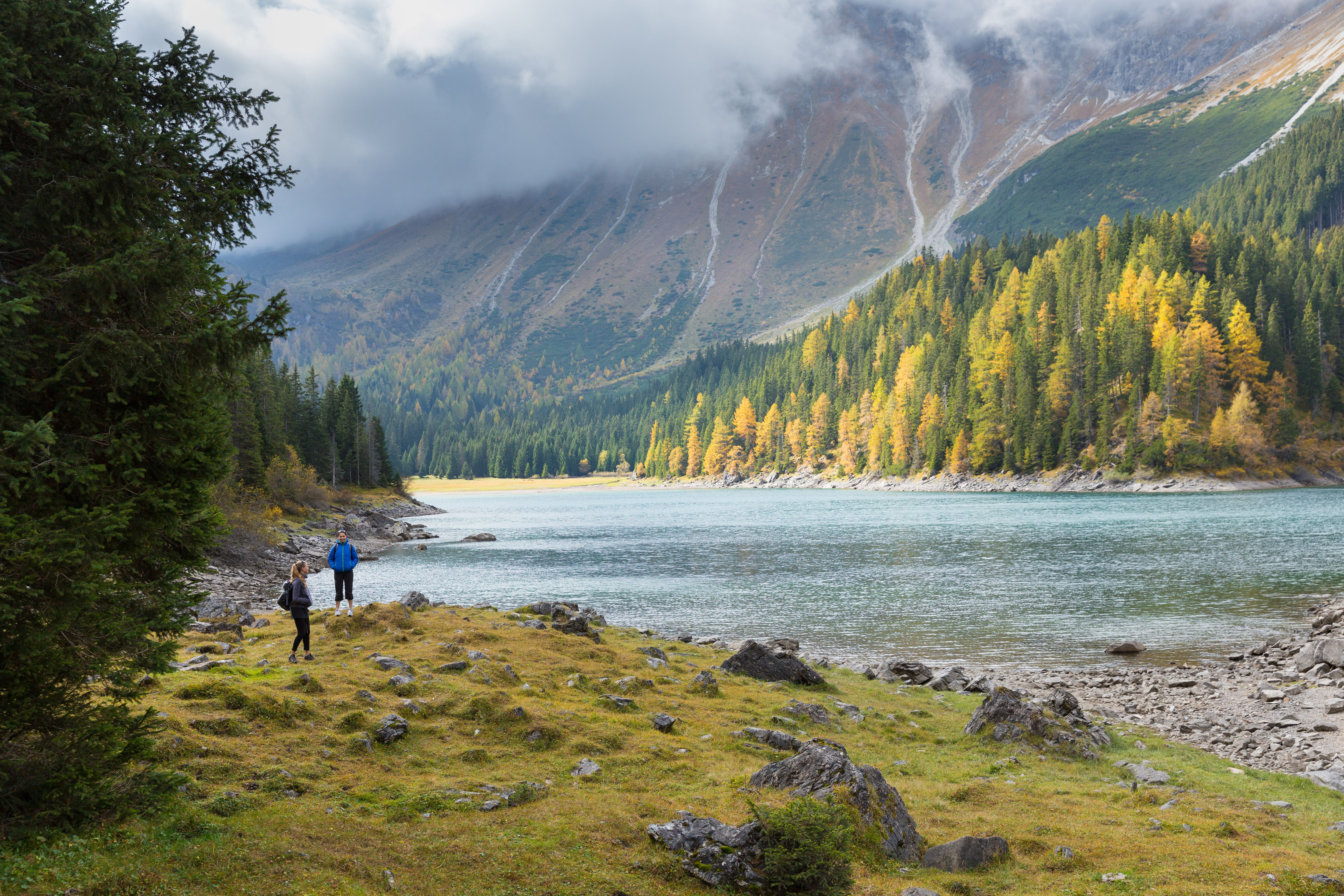
Another recommended tour is the hike around the Lake Obernberg. Here, the turquoise waters of the lake meet colourful forests that line the shore and create a dreamlike backdrop. Particularly impressive is the Ahornboden in the Karwendelwhere the old sycamores glow in bright yellow and orange, creating a picturesque autumn landscape.
These hikes are perfect for experiencing the colourful splendour of autumn in Tyrol.

")

")
.jpg")
.jpg")
.jpg")


 (1).jpg")
.jpg")
.jpg")
.jpg")


