Mountain hikes Volkzeiner Hütte

Außervillgraten / Villgraten Mountains
Difficulty ratings: easy
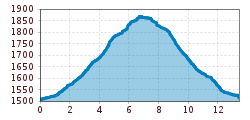
Route length: 13.4 km
Duration: 3:30 h

The Winkeltal valley in East Tyrol is - well - a particularly beautiful spot for a peaceful autumn hike. Pristine and secluded. And between the gold-colored larches, the typical wooden houses of the region fit particularly well into the autumnal picture. This is how autumnal deceleration works!

Tour character

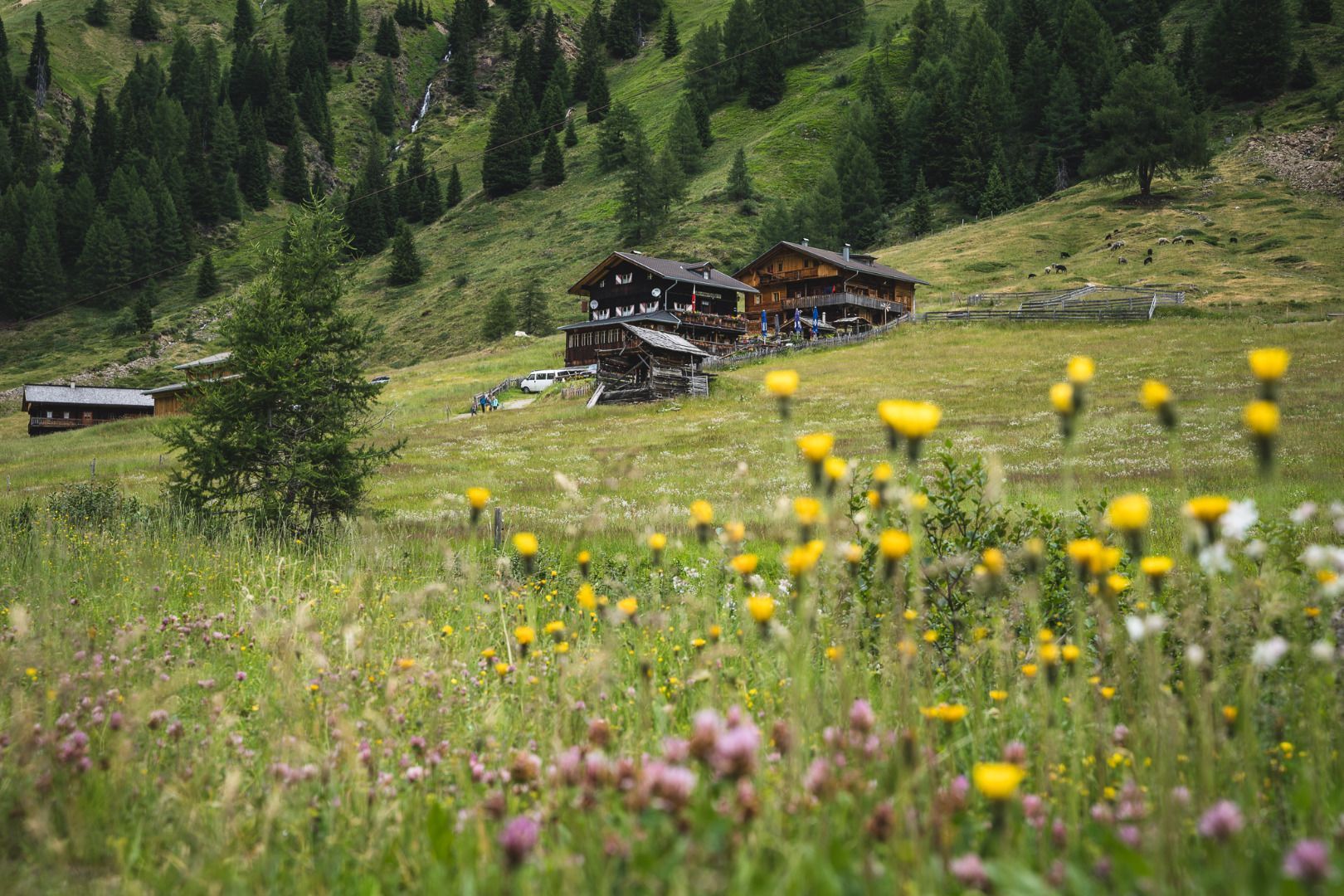
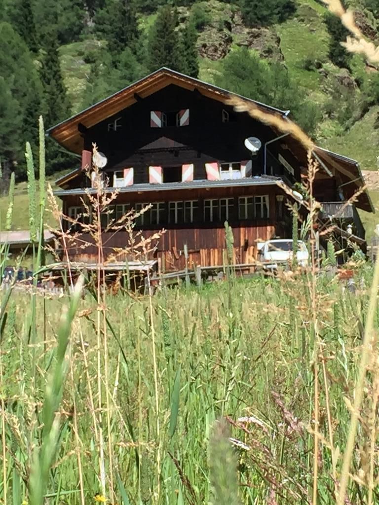
Easy hike on a wide gravel path that climbs only slightly up to the Volkzeiner Hütte. Ideal for families and particularly rewarding in autumn, when the wooded slopes of the valley glow in golden-yellow colors. Built in the typical Villgrater wooden style, the Volkzeiner Hütte is a wonderful place to stop for a bite to eat and is famous for game dishes prepared by local hunters. Ideal hike to experience the advantages of the Villgraten valley and the branching Winkeltal valley: Tranquillity and unspoilt nature.
Tour information

  • Requirement: easy
  • Length: 13.4 km
  • Duration: 3:30 h
  • Elevation uphill:370 hm
  • Elevation downhill:360 hm
Highest point1,886 m

Starting point

Reiterstube im Winkeltal

Finishing point

Volkzeinerhütte
  • Fitness level 2 / 6
  • Technique 2 / 6

Features

  • Suitable for families

Best time of year

  • January
  • February
  • March
  • April
  • May
  • June
  • July
  • August
  • September
  • October
  • November
  • December
Source: TVB Osttirol

Description

Convenient to get to, surrounded by the loveliest nature, Volkzeinerhütte is an "insider tip" for gourmets! Starting point is the Reiterstube in Außervillgraten. Right at the Reiterstube there is also a Kneipp facility where you can warm up for the hike which awaits you. From the Reiterstube a broad gravel trail proceeds via Alpine pastures along the Winkelbach, until after an hour and a half you get to Volkzeinerhütte. Access to the lodge is available daily.

Nearby huts and mountain restaurants

Getting here

  • Arrival by public transport

    Mit dem Bus bis zur Haltestelle "Außervillgraten Reiterstube"

  • Parking

    Parkplatz Reiterstube

Weather

Today

moderate rain
12°C/9°C
85%10.9l5 km/h

Fri

light rain showers
16°C/7°C
55%2.2l5 km/h

Sat

clear sky
19°C/5°C
0%0l5 km/h
Go to weather forecast

More tours in the surrounding area

  • Herz-Ass Villgratental

    Difficulty:medium
    Length:75.6 kmDuration:34:00 hElevation uphill:5,703 m
  • Figerhorn

    Difficulty:difficult
    Length:6.6 kmDuration:6:00 hElevation uphill:811 m
  • Theme path "Virgen crossroads"

    Difficulty:easy
    Length:3.2 kmDuration:1:00 hElevation uphill:104 m
  • Muhs panorama trail

    Difficulty:medium
    Length:15.2 kmDuration:6:00 hElevation uphill:1,090 m
  • Toblacher Pfannhorn

    Difficulty:medium
    Length:9.8 kmDuration:4:30 hElevation uphill:1,020 m
  • Hike to Jagdhausalm 2.009m

    Difficulty:easy
    Length:16.6 kmDuration:5:00 hElevation uphill:400 m
  • Golzentipp 2.317 m

    Difficulty:easy
    Length:5.6 kmDuration:2:00 hElevation uphill:267 m
  • Umbal waterfalls nature force trail

    Difficulty:easy
    Length:6.0 kmDuration:2:30 hElevation uphill:257 m
  • Glacier trail Innergschlöss/Schlatenkees

    Difficulty:medium
    Length:9.4 kmDuration:4:50 hElevation uphill:680 m
  • Große Kinigat

    Difficulty:difficult
    Length:8.5 kmElevation uphill:1,250 m
  • Oberstalleralm

    Difficulty:easy
    Length:2.8 kmDuration:0:50 hElevation uphill:170 m
  • Dorfberg

    Difficulty:medium
    Length:17.6 kmDuration:5:30 hElevation uphill:770 m
  • Rotenkogel

    Difficulty:difficult
    Length:3.9 kmDuration:3:00 hElevation uphill:383 m
  • Rote Spitze 2,956 m

    Difficulty:medium
    Length:10.2 kmDuration:5:30 hElevation uphill:1,260 m
  • Lake Schwarzsee

    Difficulty:medium
    Length:7.8 kmDuration:3:30 hElevation uphill:790 m
  • Circular walk church St. Nikolaus

    Difficulty:easy
    Length:5.4 kmDuration:1:39 hElevation uphill:150 m
  • Böses Weibl

    Difficulty:difficult
    Length:14.1 kmDuration:8:00 hElevation uphill:1,193 m
  • Children's mile Golzentipp

    Difficulty:easy
    Length:3.7 kmDuration:2:00 hElevation uphill:140 m
Newsletter

The mountain is calling? So does our newsletter!

In our monthly newsletter we reveal the best holiday tips for Tyrol.