

Opening hours:closed
Difficulty:easy
Length:3.0 kmElevation uphill:19 m:Style: Skating, Classic
The accessible A11 & A12 cross-country trails near Gießenbach offer cross-country skiing fun for everyone. The perfectly groomed trail winds through the wintry landscape of the Seefeld region and is ideal for leisurely runs.
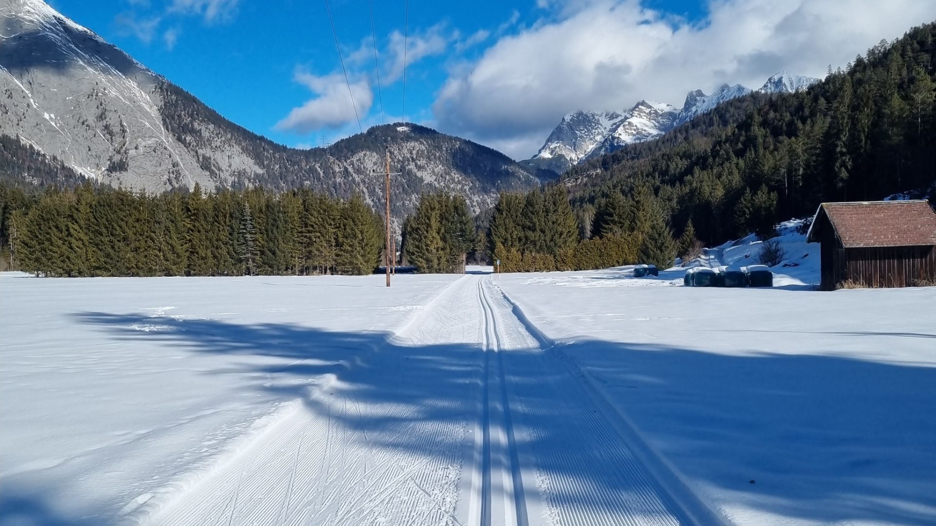

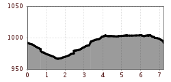


The approximately 7.2-kilometre-long, accessible
section runs along parts of the A12 Scharnitz and A11 Bodenalm cross-country ski trails. In the direction of
Scharnitz, the route is predominantly rated easy
(blue). The underpass is rated moderate (red); however, there is a suitable turning point
before it. In the direction of Gießenbach, the section is mostly
flat up to the Gießenbach crossing. The stream crossing itself is rated difficult
(black).
This trail
is freshly groomed every day. Nevertheless, icy and slippery sections may
occur.
Trail
access:
Sportanlage Scharnitz car park
Trail
characteristics – section towards Scharnitz:
This is a scenic cross-country ski trail in the Seefeld region, particularly
suitable for those who enjoy taking their time and for nature lovers. It starts
at the sports facility at the entrance to Scharnitz and runs predominantly
flat, with only gentle inclines, towards the town centre. The loop
is well suited to beginners and anyone who wants to enjoy nature at
a relaxed pace. There is a turning point before the underpass
(moderate difficulty).
Trail
characteristics – section towards Gießenbach:
The first part of the section runs predominantly flat through the forest. The
crossing of the Gießenbach is very steep and is rated difficult.
Afterwards, the trail becomes flat again and continues across a sunny, open
field.
Please
note:
On the way back from the section towards Scharnitz to the car park, occasional
snow-free sections may occur depending on snow conditions.
Trail
conditions can change throughout the day depending on the weather. Please note
that icy sections or deep tracks may occur. Adjust your speed and riding
accordingly.
An
overview of the entire cross-country ski trail network (including current trail
conditions) and useful cross-country skiing information (ticket machines,
waxing and service stations, changing facilities, etc.) can be found in the trail report.


