

Opening hours:Today closed
Place:Leutasch
:Restaurant
Anyone who wants to work on their technique but is already in good enough shape is welcome to head out to the beautiful Unterleutasch sledding trail.
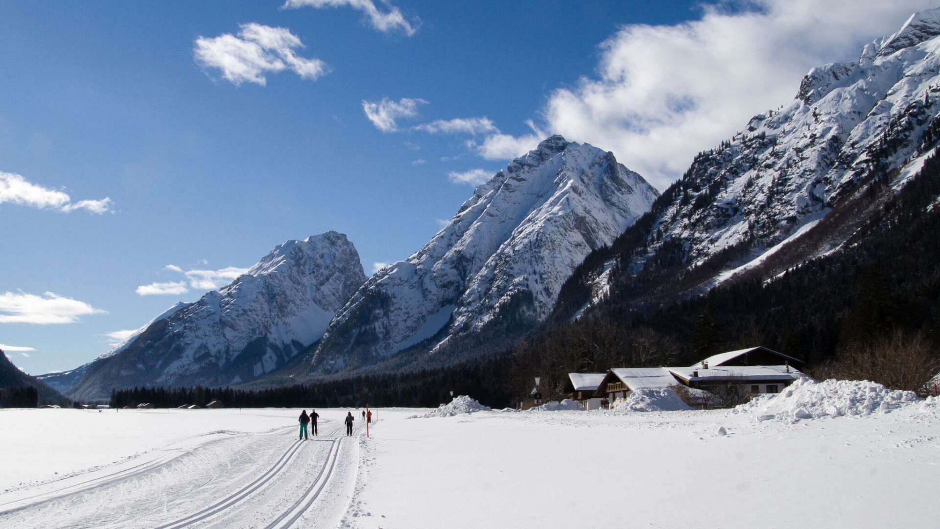
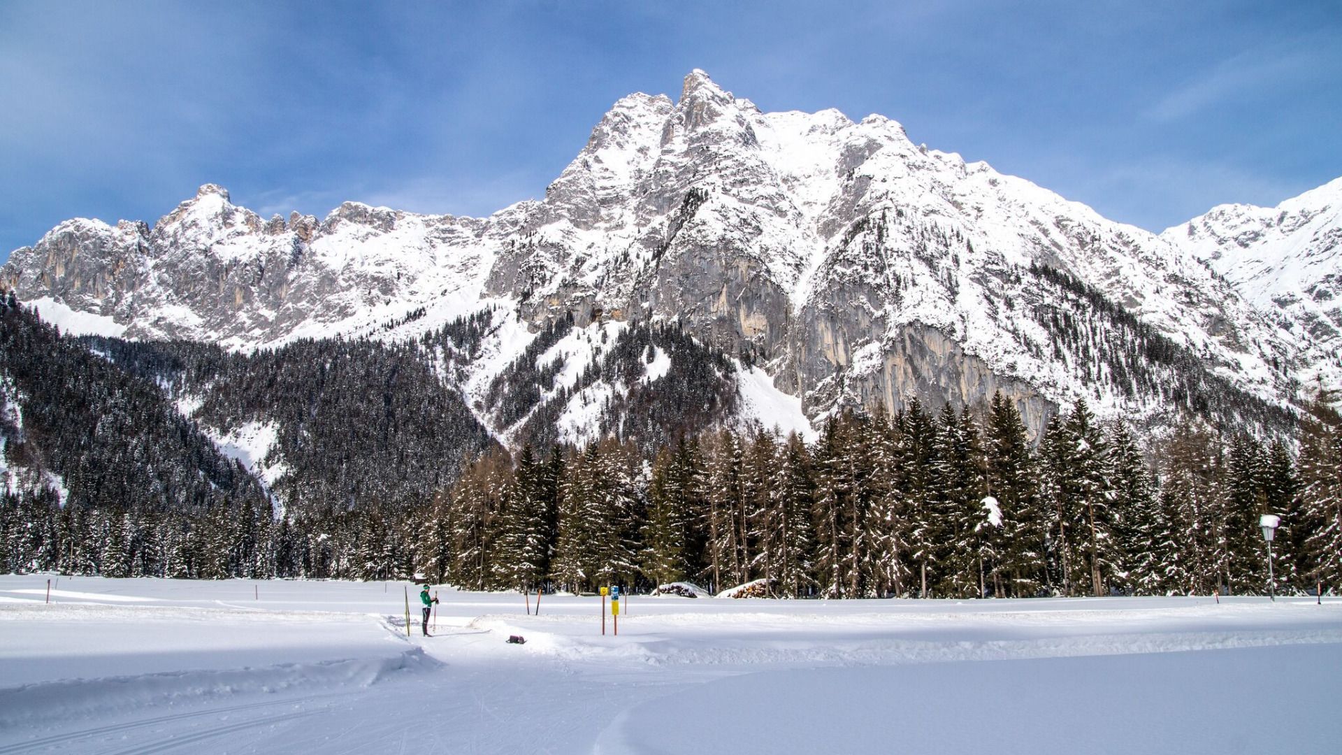


This trail is freshly groomed every day. However, icy and slippery sections may still occur.
Trail Entry Point:
At the Puitbach/Ahrn parking lot in the Puitbach district.
Trail Character:
The trail leads downhill, partially following the Ache River, crossing several bridges at the base of the striking Arnspitze and Arnplattenspitze mountains. It gently descends to Burggraben, turns near Gasthof Mühle, and then climbs slightly back toward Ahrn. With a tailwind, the incline is hardly noticeable. The A9 Unterleutasch is a fantastic loop offering an impressive natural experience, stretching over a total of 13.7 km. For a shorter route, you can take bus 431 back to Puitbach from Gasthof Mühle, Gasthaus Brücke, or Pension Reiterklause. The bus schedule can be found here. Gasthof Mühle and Gasthaus Brücke are also perfect spots for a break, offering cozy taverns and delicious Tyrolean specialties.
Connecting Trails:
A7 Gasse, A8 Lehner, and A14 Bärenwirt. An overview of the entire trail network (including trail conditions) and useful cross-country skiing information (ticket machines, waxing and service stations, changing facilities, etc.) can be found in the cross-country skiing report.


