
Opening hours:closed
Difficulty:medium
Length:2.5 kmElevation uphill:53 m:Style: Skating, Classic
This 5.5-kilometre trail links Galtür and Wirl, winding through snow-covered fields. 2.2 kilometres are lit until 10 pm.
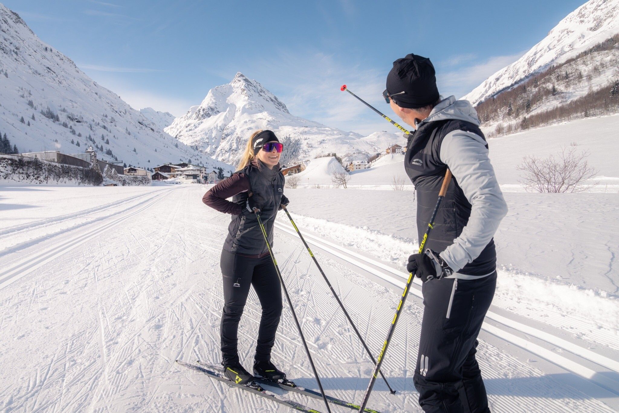
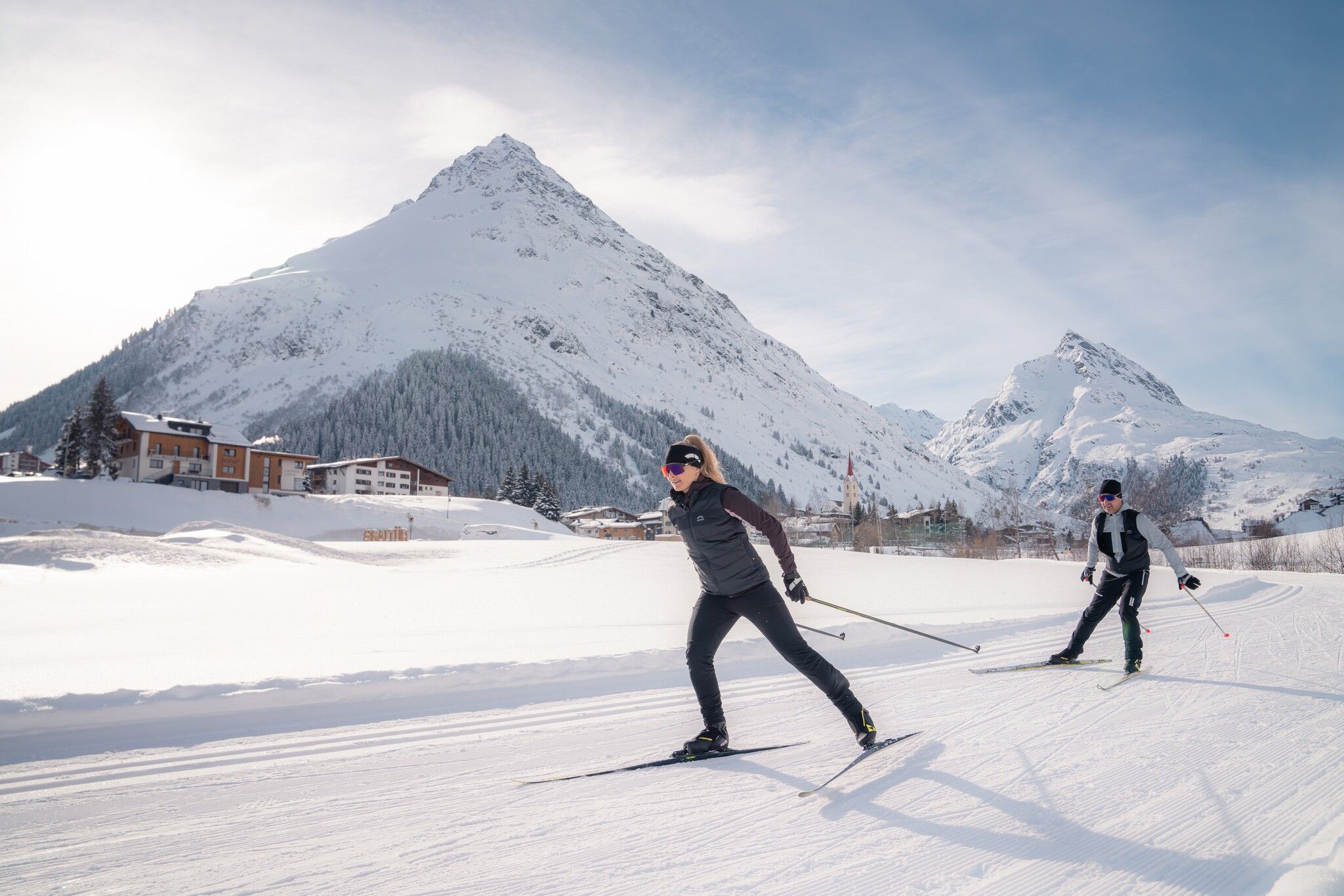
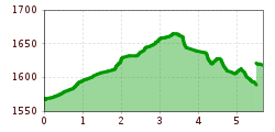
The Galtür-Wirl Trail begins in the picturesque village of Galtür, the highest settlement in the Paznaun Valley. Spanning 5.5 kilometres, it leads upstream through snow-covered fields along the Trisanna to Wirl at 1,621 metres. A brief loop near the Silvapark ski area adds variety before returning downstream on the parallel trail. With 2.2 kilometres illuminated until 10 pm and moderate inclines, this trail is perfect for active yet leisurely tours. Downstream connectio trail is the Tschafein Trail, upstream connection trails are the Zeinis-Kops Trail and Vorderes Vermunt Trail.
.jpg")
.jpg")
-min.jpg")
