Mountainbike-Tour 105 | Mountain cycle path Innervillgraten

Innervillgraten / Villgraten Mountains
Difficulty ratings: medium
Route length: 24.0 km
Duration: 2:30 h

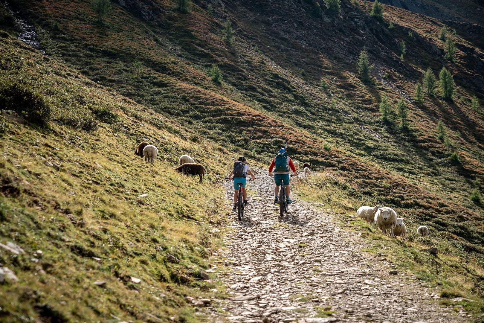
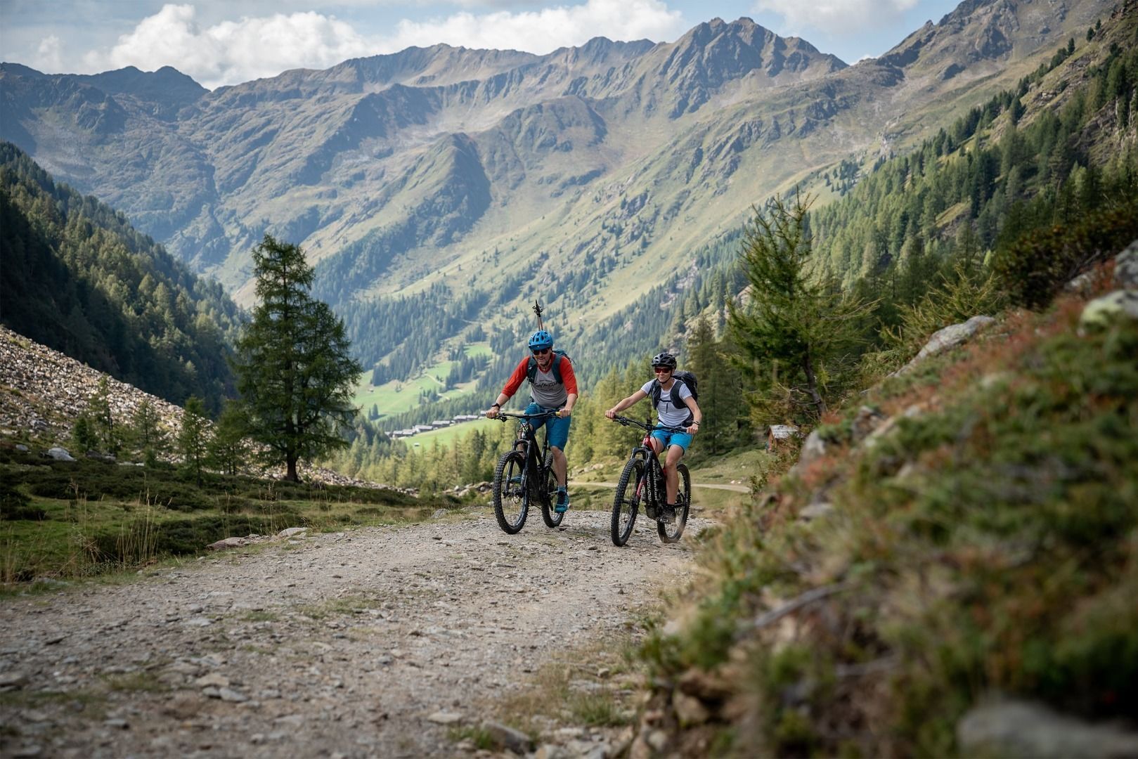
Biking in wide alpine pastures amidst the mountain world of Innervillgraten
Tour information

  • Requirement: medium
  • Length: 24.0 km
  • Duration: 2:30 h
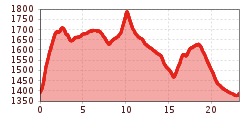
  • Elevation uphill:720 hm
  • Elevation downhill:720 hm
Highest point1,790 m

Starting point

Innervillgraten (1380m)

Finishing point

Innervillgraten (1380m)
  • Fitness level 3 / 6
  • Technique 3 / 6

Features

  • Circular route

Best time of year

  • January
  • February
  • March
  • April
  • May
  • June
  • July
  • August
  • September
  • October
  • November
  • December

Equipment

Basic cyclingequipmentincludes a well-fitting helmet and functionalclothingadaptedtotheweather and temperature. Essential itemsare rain, sun, and wind protection, a repair kit, a first-aid kit, a charged mobile phone, aswellassufficientfluids and provisions. Gloves and eyewearprotecthands and eyes, while lightsimprovevisibility.  A mapor a GPS deviceassistwithorientation. 
 
This informationservesas a guide and does not claimtobe exhaustive. Equipment mustalwaysbeadaptedtothe tour destination, weatherconditions, season, naturalhazards, environmental influences, and personal needs. 
Source: TVB Osttirol

Description

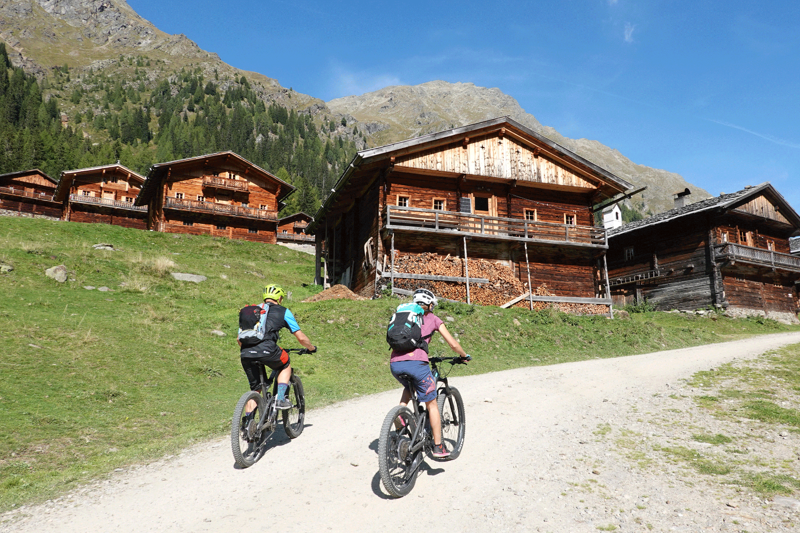
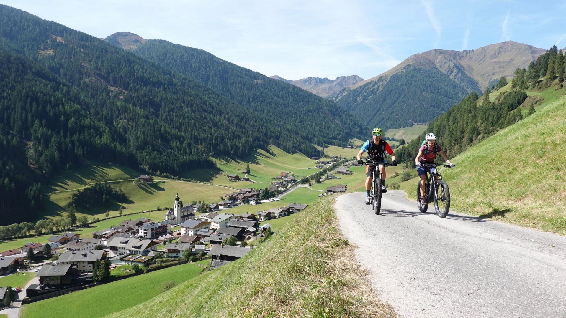
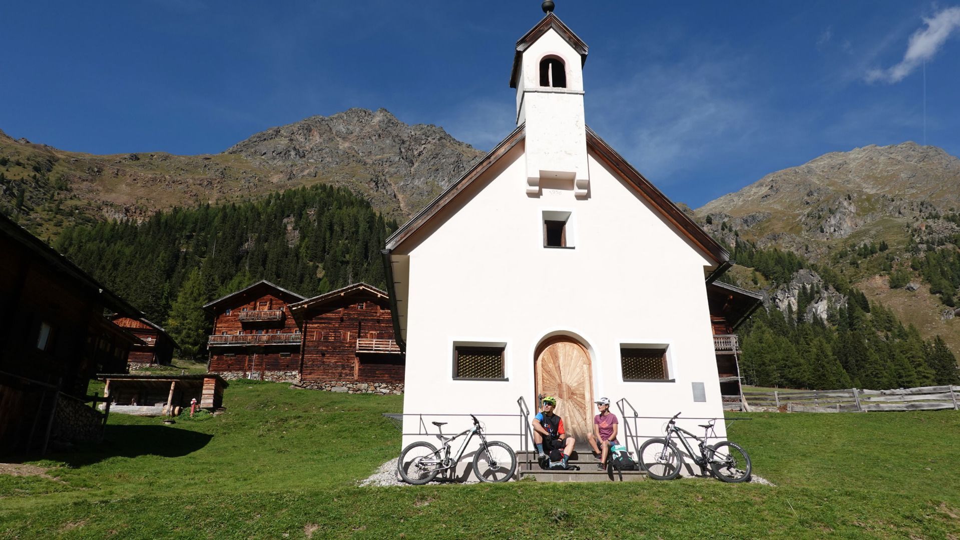
Those of you who want to cycle in a naturally maintained mountain valley, really will be very well catered for on the „Berg-Radl-Weg Innervillgraten“. For broad Alpine pastures and a superb, unspoilt mountain realm make the valley a real paradise. It is wonderful to tackle the route in another direction - direct in the village, starting at 1402 metres, the cycle route proceeds in a northerly direction initially up to Taletalm. Well before this the forest trail branches off to the left to Berglet Höfen at 1700 m. From here proceed on a not much used road from the Hochberg to the Unterstalleralm snack station, and continue to Oberstalleralm which is set in a picturesque location. After this the tour returns via Unterstalleralm again, along the Arntalweg up to the „Klamme“. After the Bodemair bridge the route passes Bodemair Höfen. Soon afterwards the Schönegghof then provides what is almost the most beautiful view around across Villgratental. The final ascent now awaits, which at 200 metres altitude, is moderate. On the Peststeig along to the Maria Schnee pilgrimage church. The route continues downhill at Kalksteiner Bach and the smugglers’ path to Alpengasthof Bad Kalkstein, before taking cyclists via the rural round (around 2 km) and on the path which proceed along the river bank back to Innervillgraten village centre again.


Nearby huts and mountain restaurants

Getting here

  • Parking

    Mit dem Auto bis ins Ortszentrum von Innervillgraten
    Parkplatz im Zentrum von Innervillgraten

More tours in the surrounding area

  • Adlertrail No. 138

    Difficulty:medium
    Length:3.7 kmDuration:0:20 h
  • Alban Lakata Trail No. 142

    Difficulty:medium
    Length:2.0 kmDuration:0:20 hElevation uphill:10 m
  • Peter Sagan Trail No. 141

    Difficulty:medium
    Length:5.0 kmDuration:0:30 hElevation uphill:90 m
  • Iseltal cycle trail No. 22

    Difficulty:easy
    Length:53.0 kmDuration:3:00 hElevation uphill:300 m
  • Flow Family Trail Nr. 155

    Difficulty:easy
    Length:4.0 kmDuration:0:30 hElevation uphill:60 m
  • Karlsbaderhütte No. 154

    Difficulty:difficult
    Length:26.2 kmDuration:4:00 hElevation uphill:1,590 m
Newsletter

The mountain is calling? So does our newsletter!

In our monthly newsletter we reveal the best holiday tips for Tyrol.