singletrack Enduro Quiet Side - C

Sölden / Stubaier Alpen
Difficulty ratings: difficult
Route length: 11.9 km
Duration: 2:30 h

Around 12 km and 700 meters of elevation gain and loss are covered on the technically challenging route on the quiet side of the BIKE REPUBLIC SÖLDEN.

Tour information

  • Requirement: difficult
  • Length: 11.9 km
  • Duration: 2:30 h
  • Elevation uphill:690 hm
  • Elevation downhill:690 hm
Highest point1,973 m

Starting point

Freizeit Arena

Finishing point

Freizeit Arena
  • Fitness level 4 / 6

Best time of year

  • January
  • February
  • March
  • April
  • May
  • June
  • July
  • August
  • September
  • October
  • November
  • December

Equipment

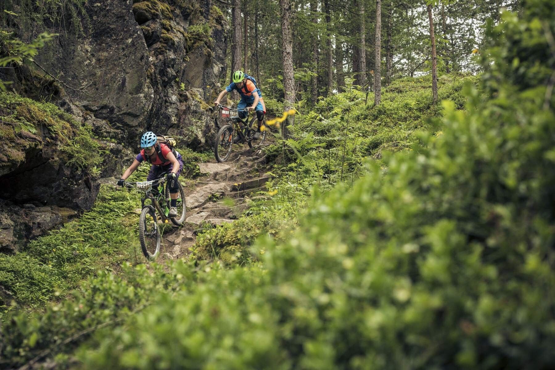
The Jägers Notweg is a black route and therefore technically extremely demanding. Please also note that there is less "traffic" on the quiet side. The trail should not be ridden alone because help may not arrive for a long time.

In the BIKE REPUBLIC SÖLDEN it is about shared fun in bike sports – no matter what level you are at. Be considerate and support each other. Also behave respectfully towards all other people on the mountain and in the valley – and towards nature.

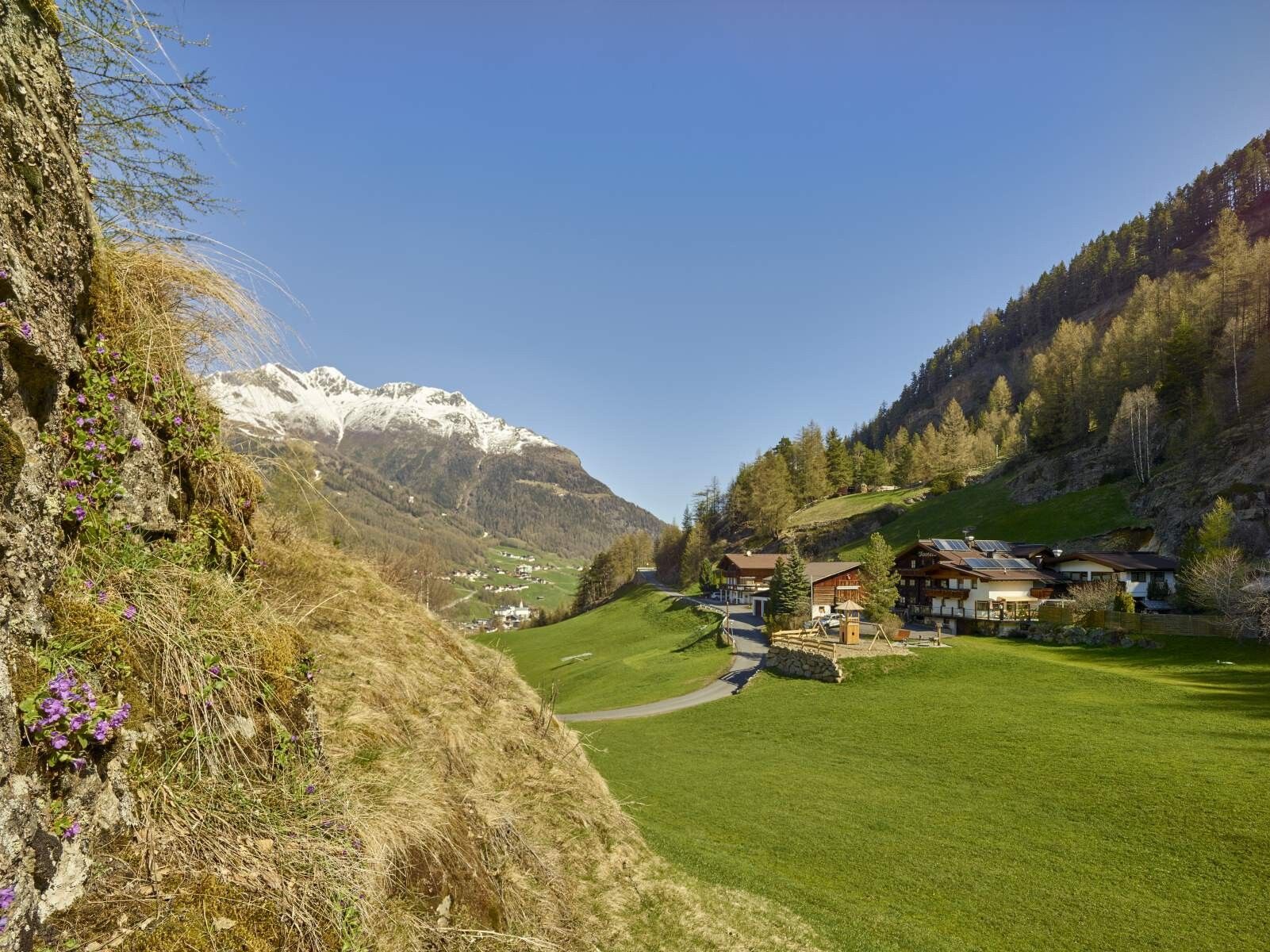
–> Stay on the paved and marked paths. Do not ride over open meadows!

–> Avoid blocking the rear wheel and help maintain the paths.

–> Be considerate of animals & close the pasture gates. Cows can always be on the trails and lines. Ride carefully and keep distance!

–> Please note: Hikers are also on the natural trails of the BIKE REPUBLIC SÖLDEN. Ride carefully, stop, yield considerately and greet politely.

Well equipped rules! We recommend wearing MTB protective gear (helmet, protectors for knees, elbows, back, ...) on all lines, trails, enduro routes, and mountain bike routes of the BIKE REPUBLIC SÖLDEN. All routes are exclusively intended for use with mountain bikes that meet today's quality standards.
Source: Ötztal

Description

The starting point of the Enduro Quiet Side - C is the Freizeit Arena in the center of Sölden. Facing the Freizeit Arena, start to the right and follow the Ötztal bike route 11 to the valley station of the Gaislachkogelbahn. Upon reaching the Gaislachkogelbahn, turn left and pedal uphill along Plattestraße to the junction of Wildmoos-/Moosstraße. Here, keep left and immediately turn left onto Mooslalmstraße. Soon the asphalt is replaced by gravel and you follow the forest road towards Brunnenberg Alm. About 1 km before Brunnenbergalm, keep left and follow the signage for Jägers Notweg Trail to the entrance. Over an old, overgrown forest path, it goes to the actual single trail – and it’s challenging! The trail offers tight hairpin turns, rock-strewn passages, and partly wet ground. After crossing the Windach Ache, there is a short steep ascent and then along the forest road to the entrance of the Windach Trail, which leads back onto the forest road into the valley.

Please watch out for hikers!


Nearby huts and mountain restaurants

Getting here

  • Arrival by public transport

    Arrival by train

    Travel easily by train to Ötztal Bahnhof at the valley entrance. A regular bus starts directly from the station square towards Obergurgl. The bus ride to Sölden takes about 1 - 1.5 hours. On the designated bike line buses, bike transport (including eMTBs) is free with a valid bus ticket.

    All important information about bus schedules, connections, and taxi companies can be found here.

  • Parking

    There are sufficient parking spaces at the valley stations of the Gaislachkoglbahn and the Giggijochbahn; parking garages are also available.Parking spaces are subject to fees.

    Paid overnight parking of cars is possible in the Gaislachkogl parking garage:

    more information about overnight parking

    Please respect that wild camping is prohibited!

More tours in the surrounding area

Newsletter

The mountain is calling? So does our newsletter!

In our monthly newsletter we reveal the best holiday tips for Tyrol.