Arrival by public transport
Buses 210, 220
Prutz Innbrücke bus stop
Ried Gemeindeamt bus stop
Tösens Gemeindeamt bus stop
Pfunds Dorf / Stuben bus stop
The road cycling tour from Pfunds heads down the valley via Tösens, Ried im Oberinntal and Prutz into the Kaunertal. Passing the Gepatsch Reservoir, the spectacular Kaunertal Glacier Road climbs in countless switchbacks up to the glacier—an unforgettable challenge for ambitious road cyclists.
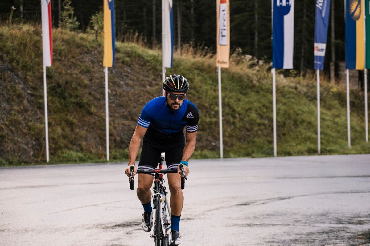
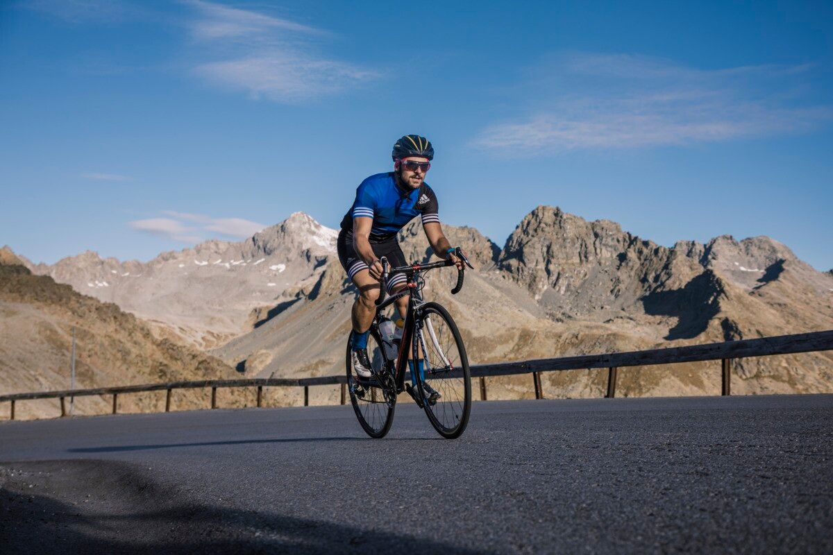
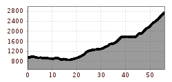
From the Pfunds information office, the road bike route first leads out of the valley via Tösens, Ried, and Prutz. In Prutz, the turnoff to the Kaunertal valley begins, where the road initially leads through the valley with a moderate incline. After the district of Feichten, the pace of the climb picks up noticeably and the route becomes increasingly steeper. Passing the impressive Gepatsch reservoir, the impressive Kaunertal Glacier Road winds its way uphill in numerous hairpin bends. The final section to the glacier restaurant delights with high alpine glacier scenery, sweeping views, and one of the most spectacular high mountain roads in the Alps – an absolute highlight for ambitious road cyclists.
Buses 210, 220
Prutz Innbrücke bus stop
Ried Gemeindeamt bus stop
Tösens Gemeindeamt bus stop
Pfunds Dorf / Stuben bus stop
Ried Lake, free of charge
Pfunds village roundabout, free of charge


.jpg")


Andi Frank (247).jpg")


")
Erwin Haiden, bikeboard.at.jpg")

-min.jpg")


")

