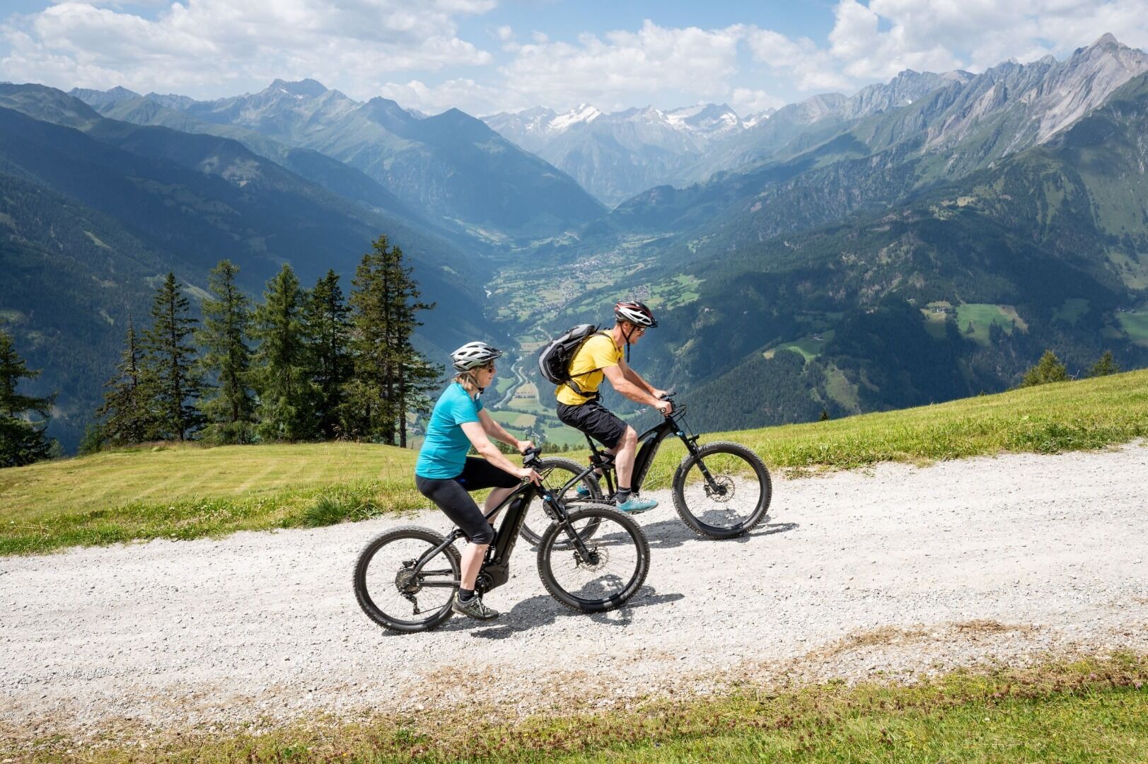
Mountainbike-Tour Klaunzerberg No. 147

Matrei in Osttirol / Granatspitze Group
Difficulty ratings: medium
Route length: 24.0 km
Duration: 4:45 h

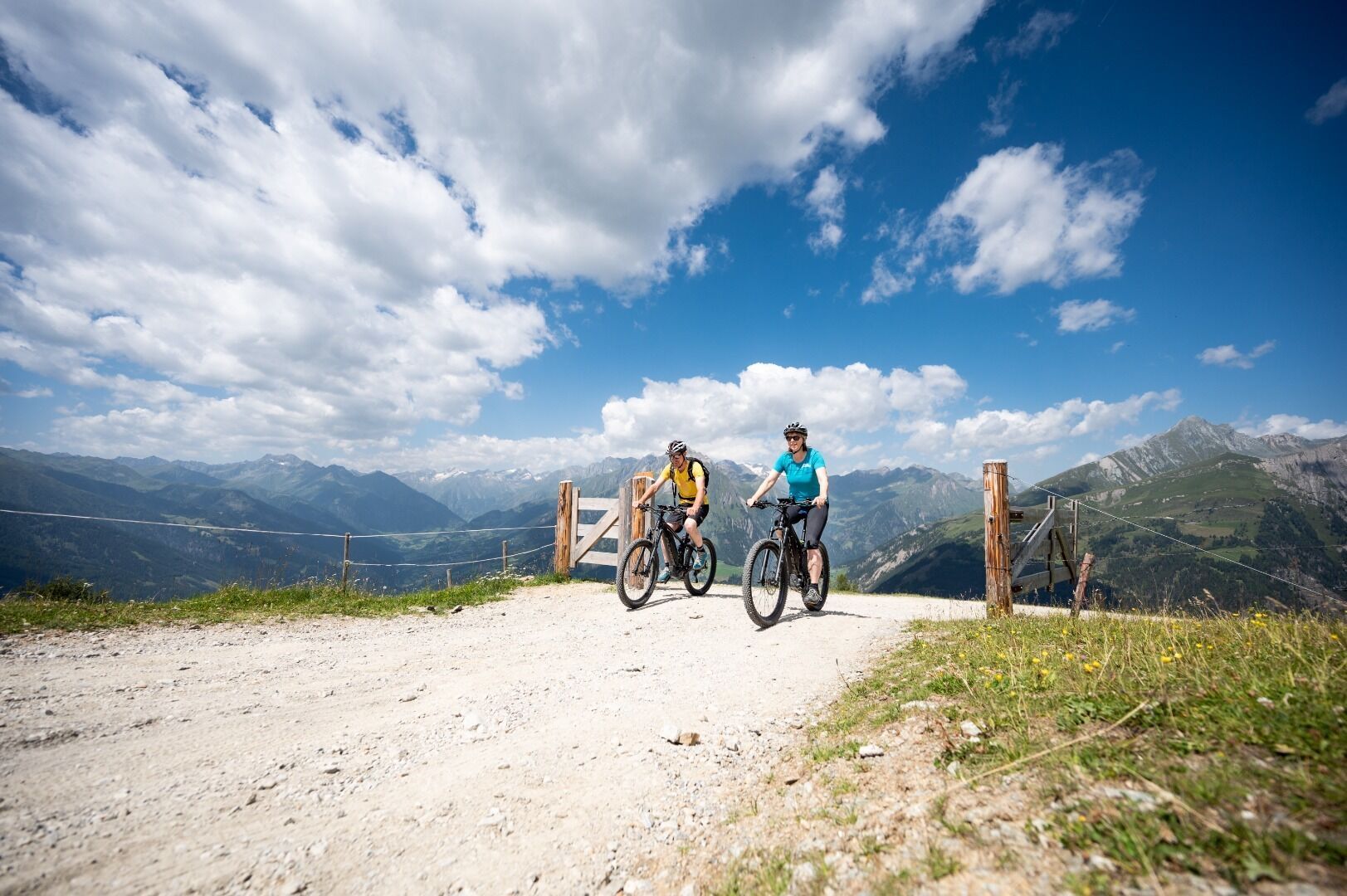
A tour with most impressive panorama!
Tour information

  • Requirement: medium
  • Length: 24.0 km
  • Duration: 4:45 h
  • Elevation uphill:1,270 hm
  • Elevation downhill:1,260 hm
Highest point2,200 m

Starting point

Goldried Bergbahnen

Finishing point

Berggasthaus Goldried
  • Fitness level 4 / 6
  • Technique 3 / 6

Best time of year

  • January
  • February
  • March
  • April
  • May
  • June
  • July
  • August
  • September
  • October
  • November
  • December

Trail condition

Asphalt & Schotter

Equipment

Basic cyclingequipmentincludes a well-fitting helmet and functionalclothingadaptedtotheweather and temperature. Essential itemsare rain, sun, and wind protection, a repair kit, a first-aid kit, a charged mobile phone, aswellassufficientfluids and provisions. Gloves and eyewearprotecthands and eyes, while lightsimprovevisibility.  A mapor a GPS deviceassistwithorientation. 
 
This informationservesas a guide and does not claimtobe exhaustive. Equipment mustalwaysbeadaptedtothe tour destination, weatherconditions, season, naturalhazards, environmental influences, and personal needs. 
Source: TVB Osttirol

Description

Start at the bottom station of the cable-car in Matrei in East Tyrol. Follow the route # 147 through Matrei and turn in Goldriedstraße after the church. Bike up the mountain and at km 4,5 km turn left in a gravelled road and at km 6 reach the asphalt road again. After about 7 km reach a gravelled road again. Some quaint huts invite to rest and to take a break from everyday life. The MTB route # 147 leads up to 2.200 hm and to  top it off bike ahead up to 2.400 hm and feel  like a king over yourself.

Nearby huts and mountain restaurants

Getting here

  • Arrival by public transport

    Matrei i.O. Süd

  • Parking

    Parkplatz Matreier Goldried Bergbahnen

More tours in the surrounding area

  • Adlertrail No. 138

    Difficulty:medium
    Length:3.7 kmDuration:0:20 h
  • Alban Lakata Trail No. 142

    Difficulty:medium
    Length:2.0 kmDuration:0:20 hElevation uphill:10 m
  • Peter Sagan Trail No. 141

    Difficulty:medium
    Length:5.0 kmDuration:0:30 hElevation uphill:90 m
  • Karlsbaderhütte No. 154

    Difficulty:difficult
    Length:26.2 kmDuration:4:00 hElevation uphill:1,590 m
  • Flow Family Trail Nr. 155

    Difficulty:easy
    Length:4.0 kmDuration:0:30 hElevation uphill:60 m
  • Iseltal cycle trail No. 22

    Difficulty:easy
    Length:53.0 kmDuration:3:00 hElevation uphill:300 m
Newsletter

The mountain is calling? So does our newsletter!

In our monthly newsletter we reveal the best holiday tips for Tyrol.