Arrival by public transport
Buses 210, 220
Prutz Innbrücke bus stop
Ried Gemeindeamt bus stop
Tösens Gemeindeamt bus stop
Pfunds Dorf / Stuben bus stop
The road cycling tour from Prutz follows the Inn River via Ried im Oberinntal and Tösens to Pfunds. After an easy start, a challenging climb leads up to the Kobl—a varied route with rewarding views for ambitious road cyclists.
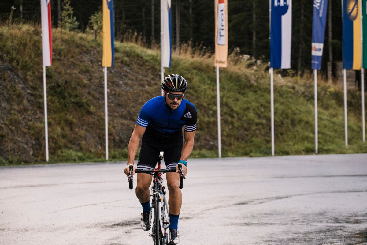
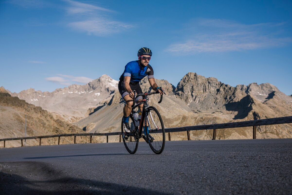
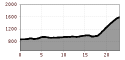
The road bike route starts at the information office in Prutz and runs along the Inn River via Ried and Tösens to Pfunds. This section offers easy road sections through the villages of Ried and Tösens. In Pfunds, the route branches off towards Pfunds Stuben and leads through the village before the tour becomes significantly more alpine. This is followed by a steeper climb up to Kobl, which rewards cyclists with challenging stages and beautiful views and presents a varied challenge for ambitious road cyclists.
Buses 210, 220
Prutz Innbrücke bus stop
Ried Gemeindeamt bus stop
Tösens Gemeindeamt bus stop
Pfunds Dorf / Stuben bus stop
Ried Lake, free of charge
Pfunds village roundabout, free of charge


.jpg")


Andi Frank (247).jpg")


")
Erwin Haiden, bikeboard.at.jpg")

-min.jpg")


")

