Cycle tour Lienz valley floor cycle route No. 35

Lienz / Kreuzeck Gruppe
Difficulty ratings: easy
Route length: 40.0 km
Duration: 3:00 h

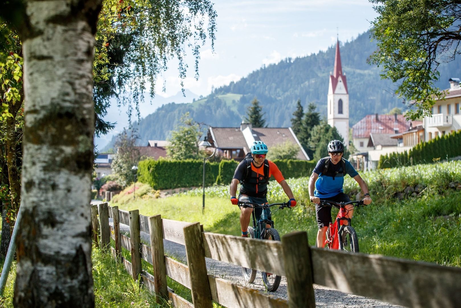
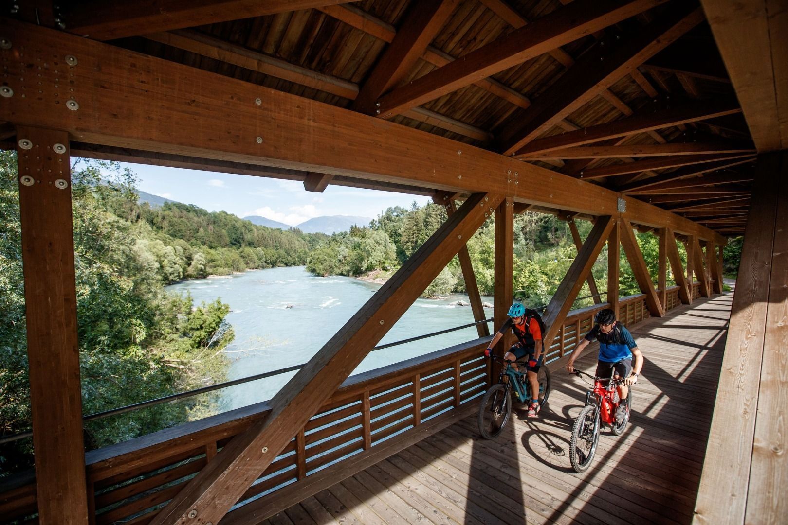
This cycle route (Lienzer Talboden) leads around the capital Lienz through the surrounding villages.
Tour information

  • Requirement: easy
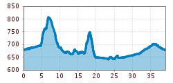
  • Length: 40.0 km
  • Duration: 3:00 h
  • Elevation uphill:220 hm
  • Elevation downhill:220 hm
Highest point770 m

Starting point

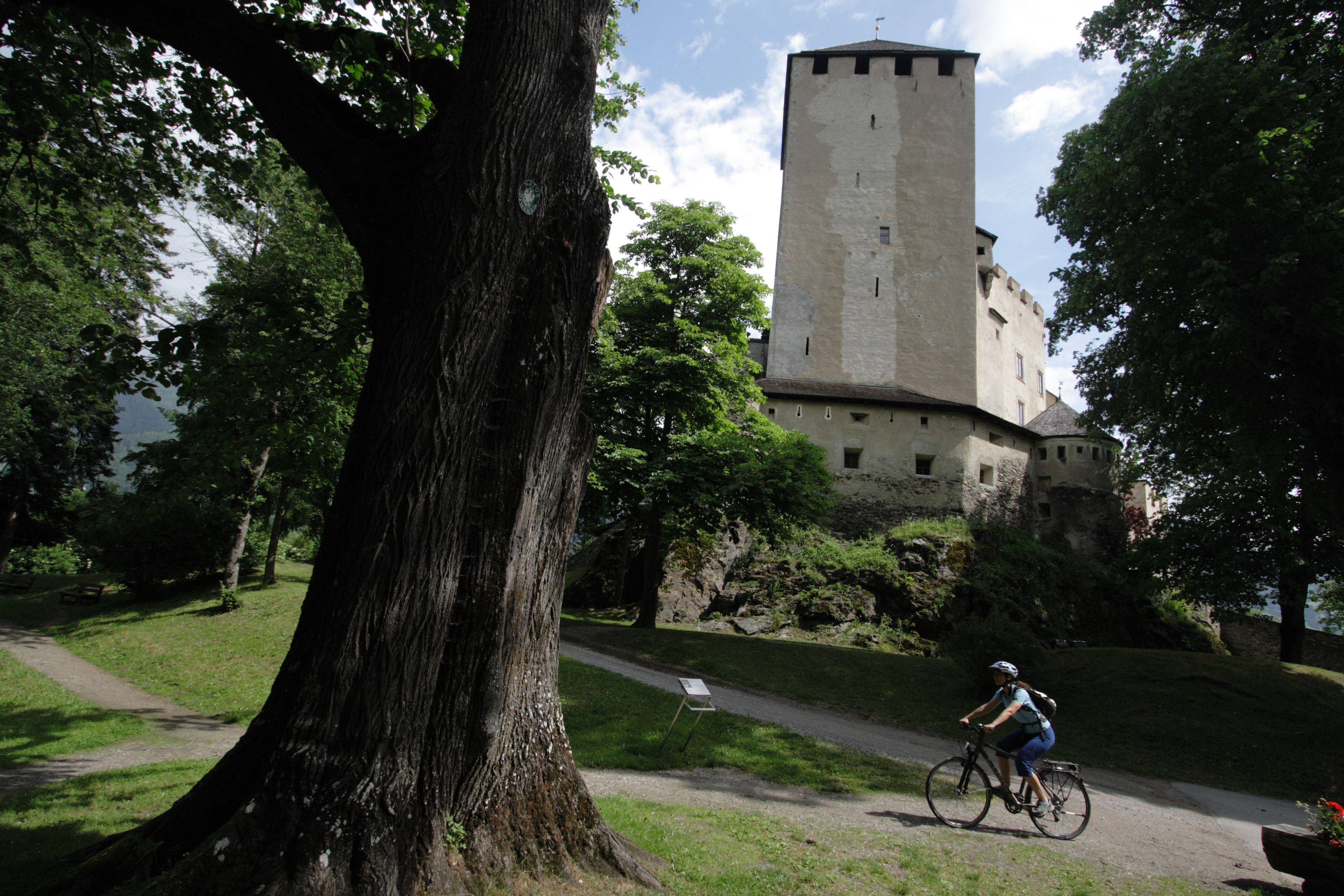
Lienz, Abzw. Schloss Bruck (682m)

Finishing point

Lienz, Abzw. Schloss Bruck (682m)
  • Fitness level 3 / 6
  • Technique 3 / 6

Best time of year

  • January
  • February
  • March
  • April
  • May
  • June
  • July
  • August
  • September
  • October
  • November
  • December

Trail condition

Asphalt

Equipment

Basic cyclingequipmentincludes a well-fitting helmet and functionalclothingadaptedtotheweather and temperature. Essential itemsare rain, sun, and wind protection, a repair kit, a first-aid kit, a charged mobile phone, aswellassufficientfluids and provisions. Gloves and eyewearprotecthands and eyes, while lightsimprovevisibility.  A mapor a GPS deviceassistwithorientation. 
 
This informationservesas a guide and does not claimtobe exhaustive. Equipment mustalwaysbeadaptedtothe tour destination, weatherconditions, season, naturalhazards, environmental influences, and personal needs. 
Source: TVB Osttirol

Description

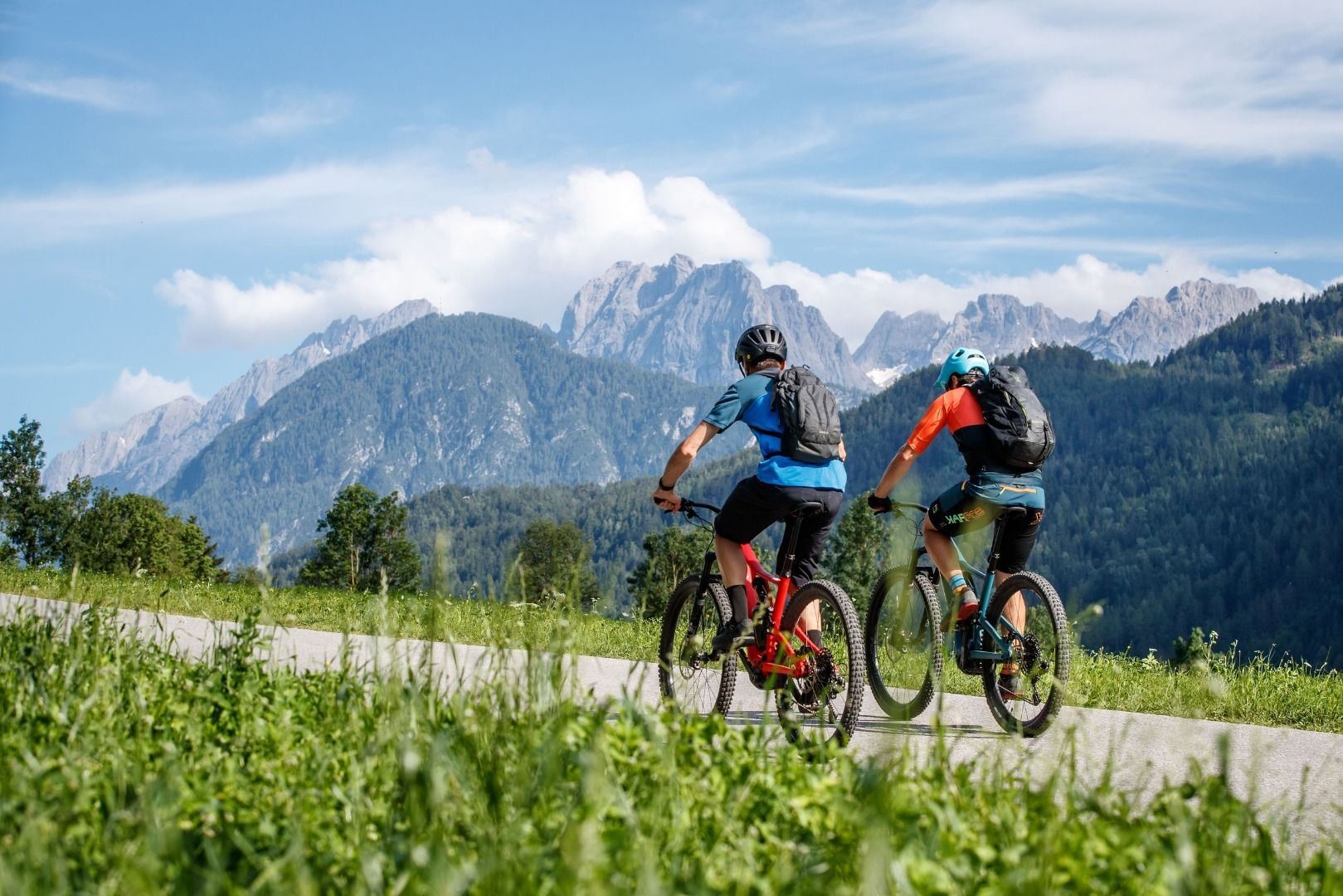
In the Lienz valley floor the cycle route proceeds around the main town in the district to the surrounding villages. The route is 40 km in length and therefore very suitable for family day excursions.
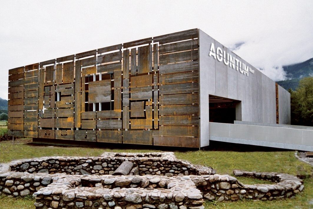
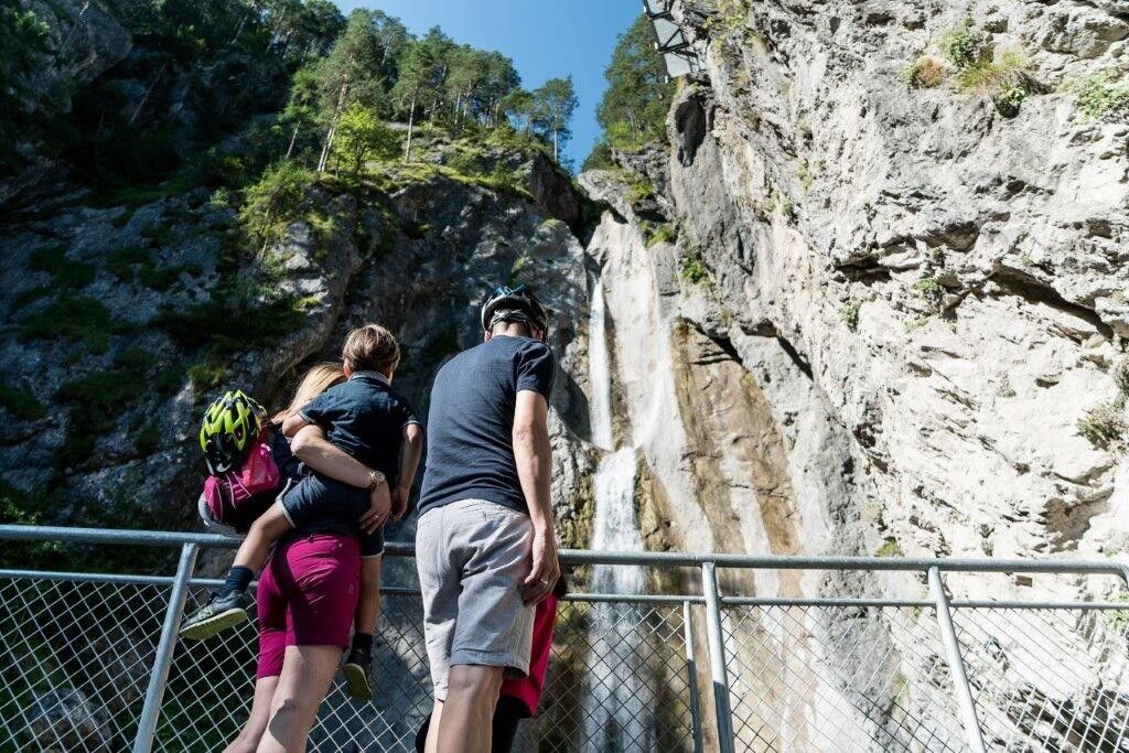
You can board at the valley station of the Hochsteinbahn in Lienz. If you follow the signs in direction of the Iseltal, you will get to Glanzer Bridge via the Iseltal Cycle Path, on across a little slope through the centre of Oberlienz, past idyllic country lanes north past Lienz to Debant, to the Roman settlement Aguntum, to Stribach, Dölsach and Gödnach. The tour across the Drava Cycle Path towards Carinthia is worthwhile since you will pass the Frauenbach Waterfall back on the way back via Lavant.

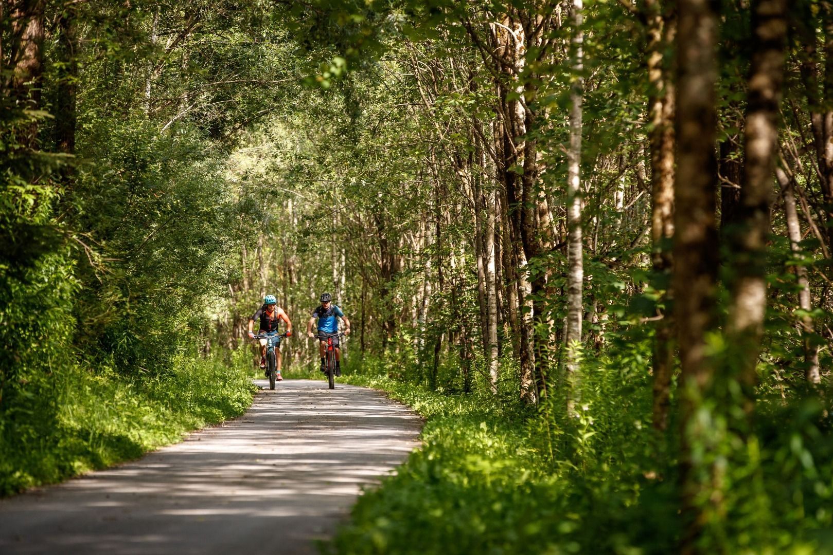
Cyclists will return along the Dolomite golf course next to the river Drava through the villages of Tristach, Amlach and Leisach. The cycle route is consistently signposted and marked with a seal. It is very varied, has only small slopes and offers beautiful views at many places. The main road can safely be crossed through underpasses. Numerous restaurants invite the cyclist to linger in beautiful gardens.

Getting here

  • Arrival by public transport

    Take the bus to the bus stop "Lienz Hochstein/Schloss Bruck".

  • Parking

    Coming from Lienz railway station, drive in the direction of Iseltal and park at the Hochstein car park.
    Hochstein car park 

More tours in the surrounding area

  • Peter Sagan Trail No. 141

    Difficulty:medium
    Length:5.0 kmDuration:0:30 hElevation uphill:90 m
  • Adlertrail No. 138

    Difficulty:medium
    Length:3.7 kmDuration:0:20 h
  • Alban Lakata Trail No. 142

    Difficulty:medium
    Length:2.0 kmDuration:0:20 hElevation uphill:10 m
  • Iseltal cycle trail No. 22

    Difficulty:easy
    Length:53.0 kmDuration:3:00 hElevation uphill:300 m
  • Karlsbaderhütte No. 154

    Difficulty:difficult
    Length:26.2 kmDuration:4:00 hElevation uphill:1,590 m
  • Flow Family Trail Nr. 155

    Difficulty:easy
    Length:4.0 kmDuration:0:30 hElevation uphill:60 m
Newsletter

The mountain is calling? So does our newsletter!

In our monthly newsletter we reveal the best holiday tips for Tyrol.