Arrival by public transport
Buses 210, 220
Prutz Innbrücke bus stop
Ried Gemeindeamt bus stop
Tösens Gemeindeamt bus stop
Pfunds Dorf / Stuben bus stop
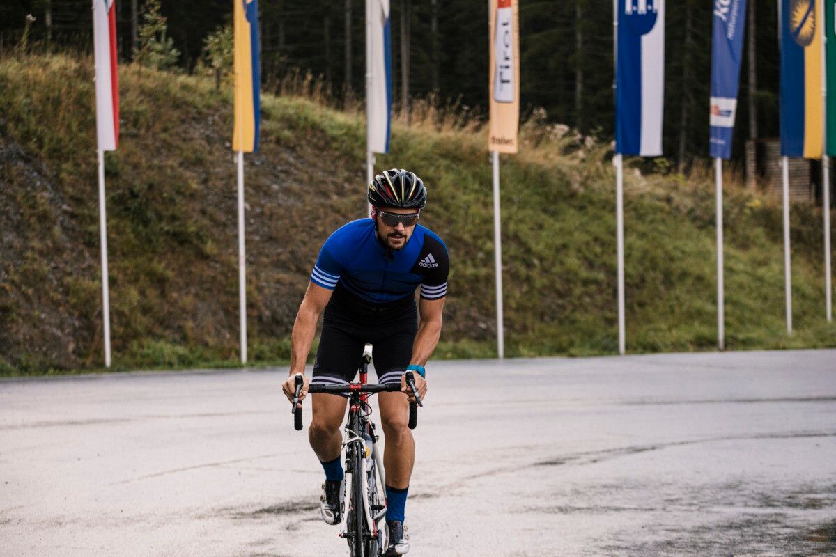
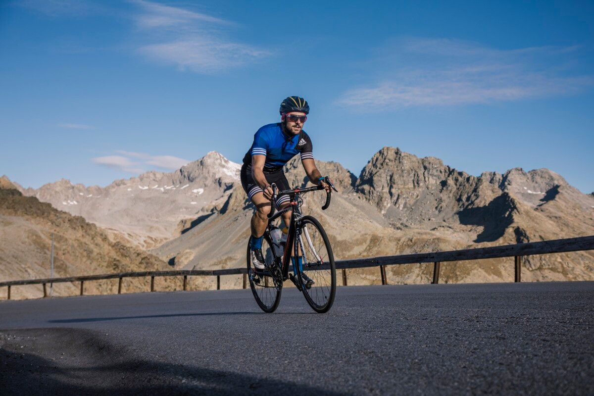
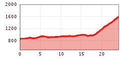
The road cycling tour from Prutz leads gently through the Upper Inn Valley via Ried im Oberinntal and Tösens to Pfunds. From there, the quiet Greiter road climbs steadily toward the Pfundser Tschey—surrounded by stunning mountain scenery and with a welcoming refreshment stop along the way.
asphalt
Starting from the Prutz information office, the route first leads into the valley to Ried and Tösens and on to Pfunds. The route takes you along well-maintained roads through the upper Inn Valley, accompanied by impressive mountain scenery. In Pfunds, the route branches off onto Greiter Straße, which has little traffic and a steady incline. Passing the Berghof inn, the route continues to the entrance of the Pfundser Tschey. Refreshments are available at the Berghof in Greit.
Buses 210, 220
Prutz Innbrücke bus stop
Ried Gemeindeamt bus stop
Tösens Gemeindeamt bus stop
Pfunds Dorf / Stuben bus stop
Ried Lake, free of charge
Pfunds village roundabout, free of charge


.jpg")


Andi Frank (247).jpg")


")
Erwin Haiden, bikeboard.at.jpg")

-min.jpg")


")

