Cycle tour Söll - Stallhäusl route

Söll / Kitzbühel Alps
Difficulty ratings: medium
Route length: 6.1 km

It’s up and away to a popular inn in Söll.
Tour information

  • Requirement: medium
  • Length: 6.1 km
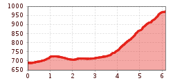
  • Elevation uphill:310 hm
  • Elevation downhill:30 hm
Highest point974 m

Starting point

Hiking starting point Tourist Info, Söll (689 m)

Finishing point

Stallhäusl, Söll (972 m)
  • Fitness level 2 / 6
  • Technique 3 / 6

Best time of year

  • January
  • February
  • March
  • April
  • May
  • June
  • July
  • August
  • September
  • October
  • November
  • December

Trail condition

The composition of the trail varies between asphalt and forest road.

Equipment

Cycling clothes (breathable), cycle helmet, change of clothes, sun protection (sunglasses, sun cream, headgear), waterproofs, water bottle, first aid kit, route description
Source: TVB Wilder Kaiser

Description

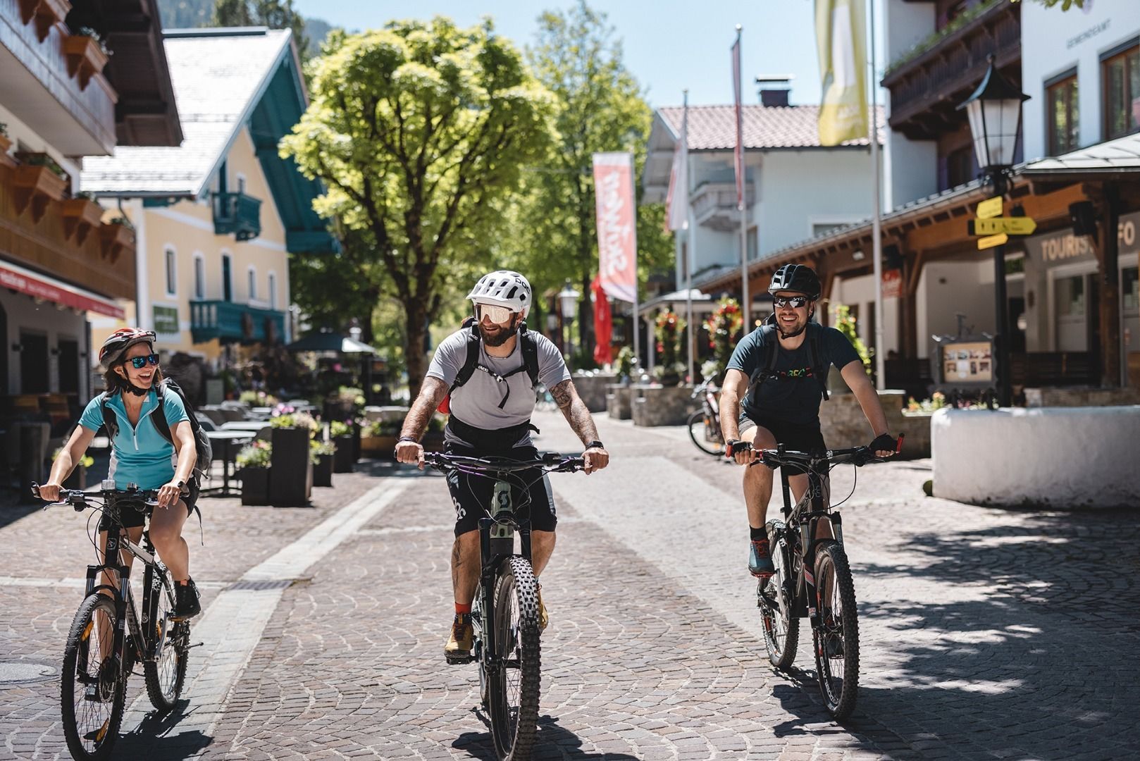
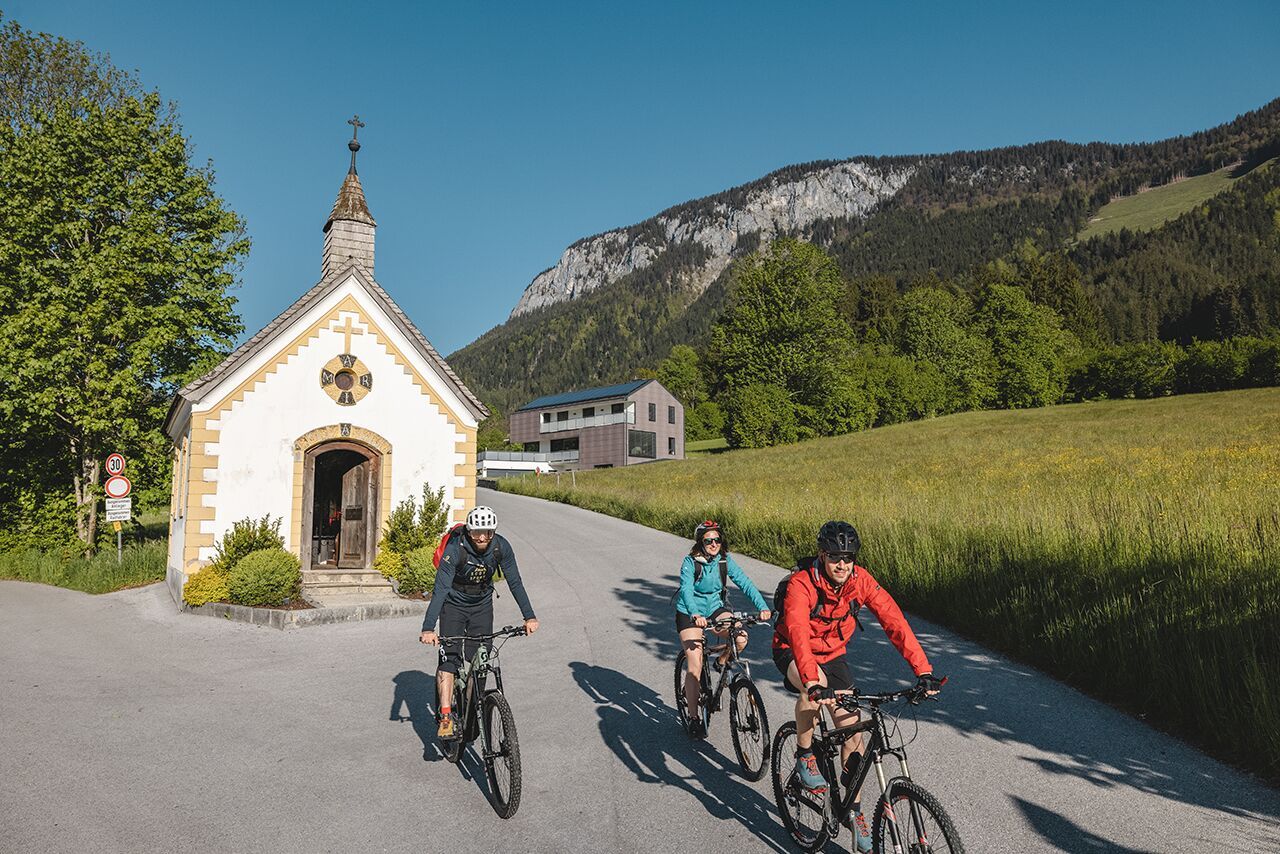
Starting from the village centre you pass the music pavilion heading in the direction of Pirchmooser Kapelle chapel. Then you turn left along the Kaiser Marathon route. Stay on this trail as you pass the Ledererhof, Grünbichlhof, Laihartinghof and Hitscherhof. After about 800 m the road bears right up into the forest and, in a series of sharp bends, twists and turns its way up to the delightful Gasthof Stallhäusl mountain inn.

Nearby huts and mountain restaurants

  • Stallhäusl

    Opening hours:Today closed
    Place:Söll
    :Restaurant, Alpine pasture / hut / mountain restaurant
  • Badhaus

    Opening hours:Today closed
    Place:Söll
    :Restaurant
    see restaurant details: Badhaus

Getting here

  • Arrival by public transport

    KaiserJet/Postbus stop “Söll Dorf”. More information at: www.wilderkaiser.info

  • Parking

    West Pölven public car park, Söll (689 m) – free

More tours in the surrounding area

  • Handbike ride Pertisau - Falzthurnalm

    Difficulty:difficult
    Length:3.3 kmDuration:1:00 hElevation uphill:105 m
  • 401 | Zillertaler Höhenstraße

    Difficulty:difficult
    Length:52.6 kmDuration:7:40 hElevation uphill:1,890 m
  • Ehrwalder Alm Seebensee

    Difficulty:medium
    Length:9.0 kmDuration:2:30 hElevation uphill:630 m
  • Bifang Tour

    Opening hours:open
    Difficulty:easy
    Length:10.4 kmDuration:1:00 hElevation uphill:320 m
  • Lichte Trail 882

    Opening hours:open
    Difficulty:difficult
    Length:3.4 kmDuration:0:15 hElevation uphill:5 m
  • Rolli-Wanderung Gepatschhaus

    Length:8.5 kmDuration:1:45 hElevation uphill:156 m
  • Handbike Route Kaunertaler Gletscher

    Difficulty:difficult
    Length:27.5 kmDuration:4:00 hElevation uphill:1,500 m
  • OD Trails

    Opening hours:open
    Difficulty:medium
  • Klammljoch - Defereggental No. 102

    Difficulty:medium
    Length:22.0 kmDuration:3:30 hElevation uphill:946 m
  • Darmstädter Hütte

    Difficulty:difficult
    Length:25.5 kmDuration:4:00 hElevation uphill:1,110 m
  • Supernatural

    Opening hours:open
    Difficulty:medium
    Length:610 m
  • Angereralm - Harschbichl

    Opening hours:closed
    Difficulty:medium
    Length:18.2 kmDuration:2:00 hElevation uphill:942 m
  • Brixental cycling tour Nr. 21

    Difficulty:easy
    Length:46.7 kmDuration:3:30 hElevation uphill:450 m
Newsletter

The mountain is calling? So does our newsletter!

In our monthly newsletter we reveal the best holiday tips for Tyrol.