Arrival by public transport
Buses 210, 220
Prutz Innbrücke bus stop
Ried Gemeindeamt bus stop
Tösens Gemeindeamt bus stop
Pfunds Dorf / Stuben bus stop
The road cycling tour from Prutz follows a gentle valley route via Ried im Oberinntal and Pfunds, always alongside the Inn River. From Kajetansbrücke, a challenging climb begins up to Spiss—rewarded with stunning views of the tri-border region.
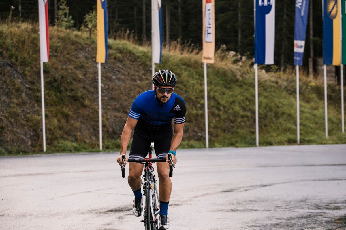
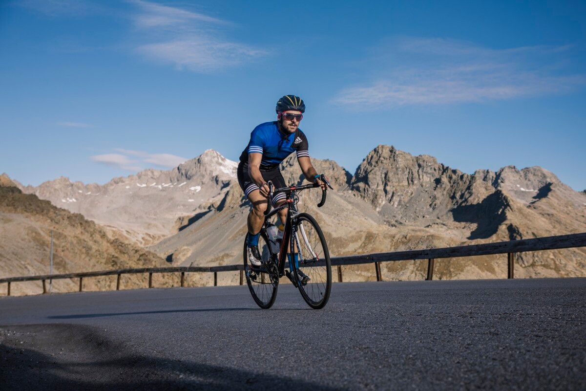
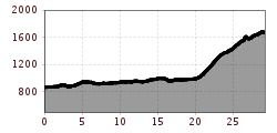
The road bike route starts at the Prutz information office and heads into the valley towards Ried. It continues on flat terrain via Tösens to Pfunds, passing meadows and small villages, always accompanied by the Inn River. In Pfunds, you leave the valley floor and head towards the Kajetansbrücke bridge, where the route becomes significantly steeper. Here, the route branches off to the right and leads up to Spiss in several hairpin bends – a challenging but scenically impressive climb with great views of the border triangle.
Buses 210, 220
Prutz Innbrücke bus stop
Ried Gemeindeamt bus stop
Tösens Gemeindeamt bus stop
Pfunds Dorf / Stuben bus stop
Ried Lake, free of charge
Pfunds village roundabout, free of charge


.jpg")


Andi Frank (247).jpg")


")
Erwin Haiden, bikeboard.at.jpg")

-min.jpg")


")

