 Gasthaus Post")
Opening hours:Open today
Place:Hopfgarten im Brixental
:Restaurant, Tavern
The perfect short hike from Hopfgarten to Itter for those seeking peace and quiet.
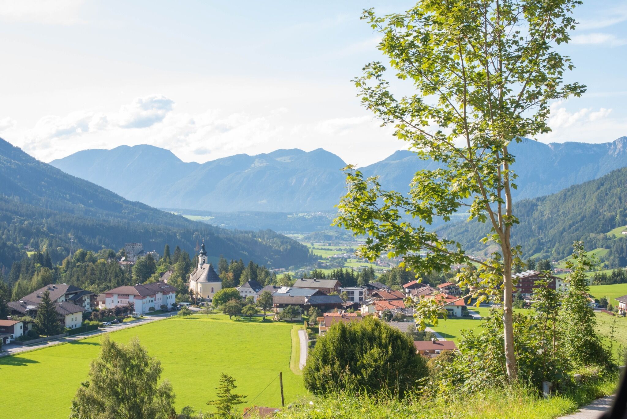
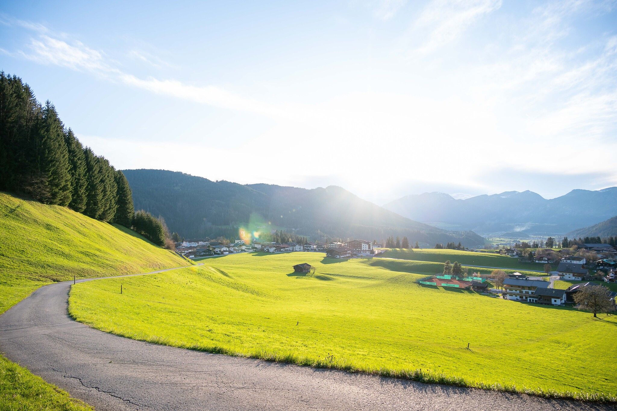
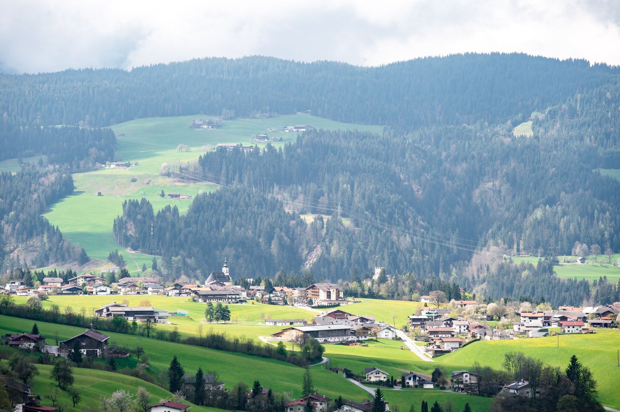
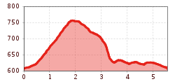
The starting point for this hike is the Hopfgarten information centre. From there, you walk through the market square past the church until you reach a small bridge, after which you turn right and follow the signs for Baldwieden-Hachaweg (no. 1). Walk uphill along the road for a few metres until a narrow forest and meadow path, the so-called Badlwiedenweg (No. 1), branches off to the left. Follow this until you reach Itterer Straße. The tarmac road curves upwards to a small fountain. From there, a short, steep path takes you directly to Itter. (No.1).
Once you reach the plateau, walk past the football pitch to the small chapel. Continue along a forest path to Hacha. To get back to the starting point of this hike, follow the signs for Badlwieden-Hachaweg (no. 1) until you arrive back in Hopfgarten.
Bus stop: "Hopfgarten Berglift Bahnhof"
Train station: "Hopfgarten Berglift Bahnhof "
Guest card of the region = train ticket from Kirchbichl to Hochfilzen + bus ticket from Mariastein to Kitzbühel included!
Valid on ÖBB local trains (S, REX) and InterRegio trains (IR) between Kirchbichl - Wörgl and Hochfilzen.
Not valid on RJ, RJX, EC, IC, ICE, D and NJ/EN trains.
More detailed information: www.hohe-salve.com/mobility
Parking lot P3 Wasserfeld (free of charge)
Lift parking lot - free of charge when using the gondola

 Magdalena Laiminger")


.jpg")


 Erwin Haiden (10).jpg")

