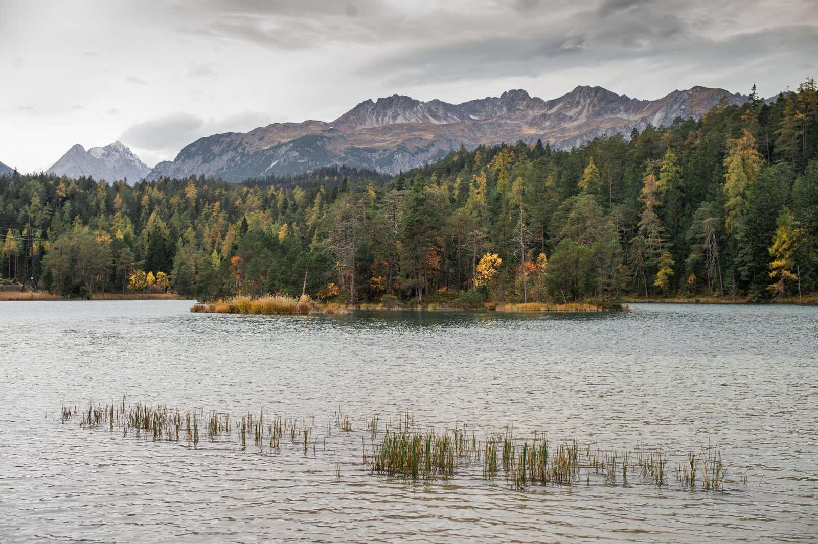
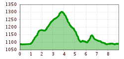
Open interactive mapOpen this POI on the interactive mapElevation profileBiberwier - 3 Lakes hike.gpx
Zugspitzblick | Restaurant - Rest stopPlace: Biberwier : Restaurant, café see restaurant detailssee restaurant details: Zugspitzblick | Restaurant - Rest stop
Hängebrücke Namlos © Außerhofer Hanspeter Namlos - FallerscheinDifficulty: easy Length: 3.8 km Elevation uphill: 37 m See trailSee trail: Namlos - Fallerschein
Ehenbichler Alm © Robert Eder, Naturparkregion Reutte Winter walk to the Ehenbichler Alm hutDifficulty: difficult Length: 6.5 km Duration: 4:00 h Elevation uphill: 640 m See trailSee trail: Winter walk to the Ehenbichler Alm hut
Adlerweg Etappe 17 © Tirol Werbung/Dominik Gigler Eagle Walk Stage 17: Ehrwald - Lorea HütteDifficulty: medium Length: 19.0 km Duration: 5:30 h Elevation uphill: 1,170 m See trailSee trail: Eagle Walk Stage 17: Ehrwald - Lorea Hütte
Lermoos - Moosles ForscherpfadOpening hours: closed Difficulty: easy Length: 2.7 km Duration: 1:00 h See trailSee trail: Lermoos - Moosles Forscherpfad
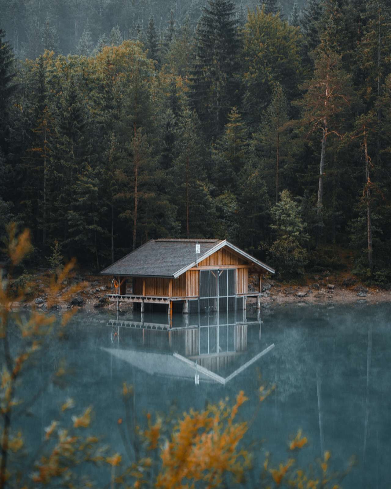
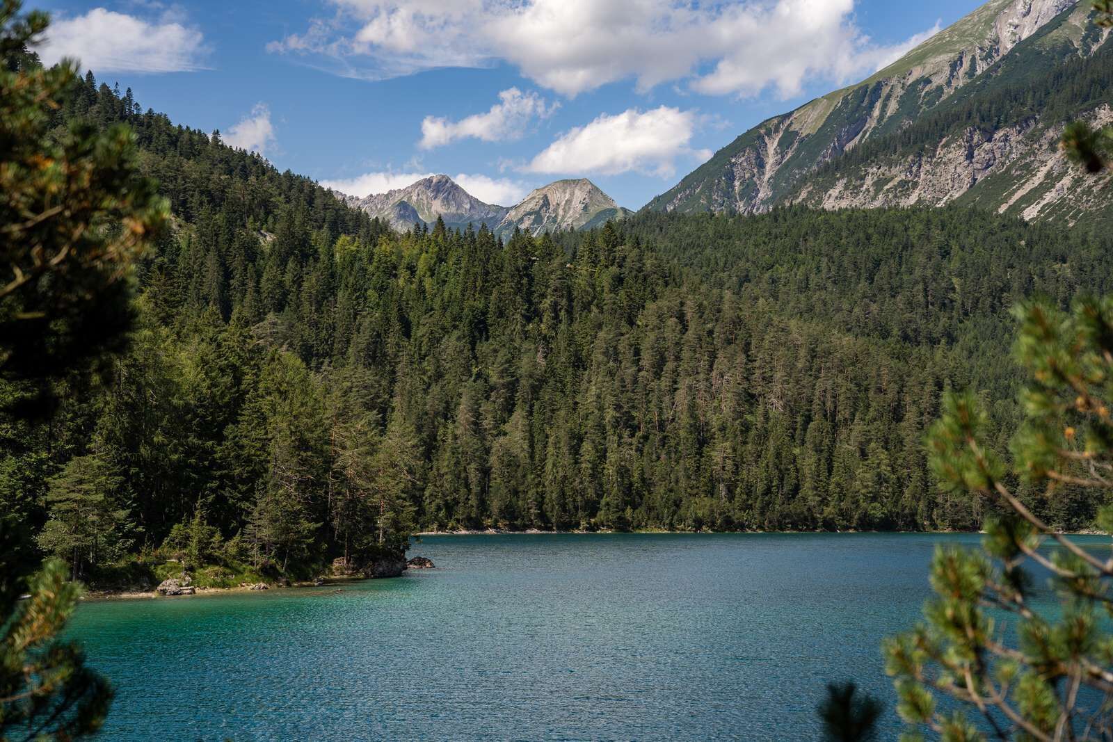
Ehrwald, Coburger Hütte, Drachensee_Tirol Werbung_Haindl Ramon_Ehrwald © Tirol Werbung | Ramon Haindl Ehrwald-Seebensee-Coburger HütteDifficulty: difficult Length: 11.2 km Duration: 5:40 h Elevation uphill: 850 m See trailSee trail: Ehrwald-Seebensee-Coburger Hütte
Ehrwald - Panorama path to Lermoos - return through the MoosDifficulty: easy Length: 4.8 km Duration: 2:08 h Elevation uphill: 137 m See trailSee trail: Ehrwald - Panorama path to Lermoos - return through the Moos
Give feedback for a chance to win a special holiday experience!Click here for the surveyClick here for the survey