
Opening hours:Open today
Place:Scharnitz
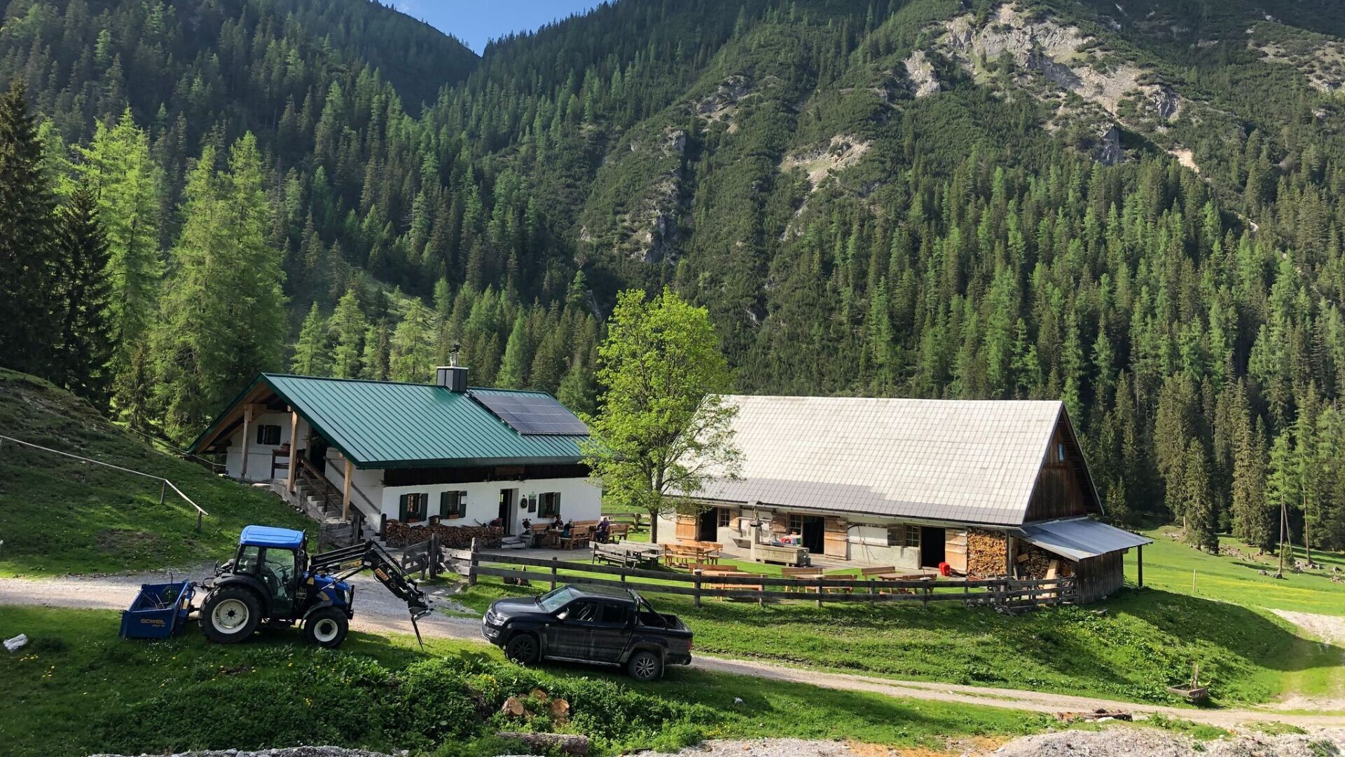
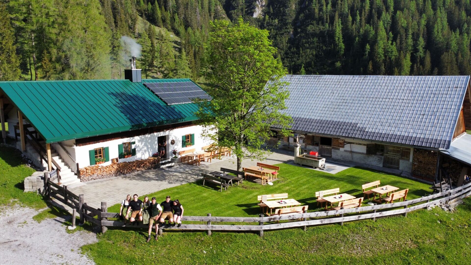
:Alpine pasture / hut / mountain restaurant
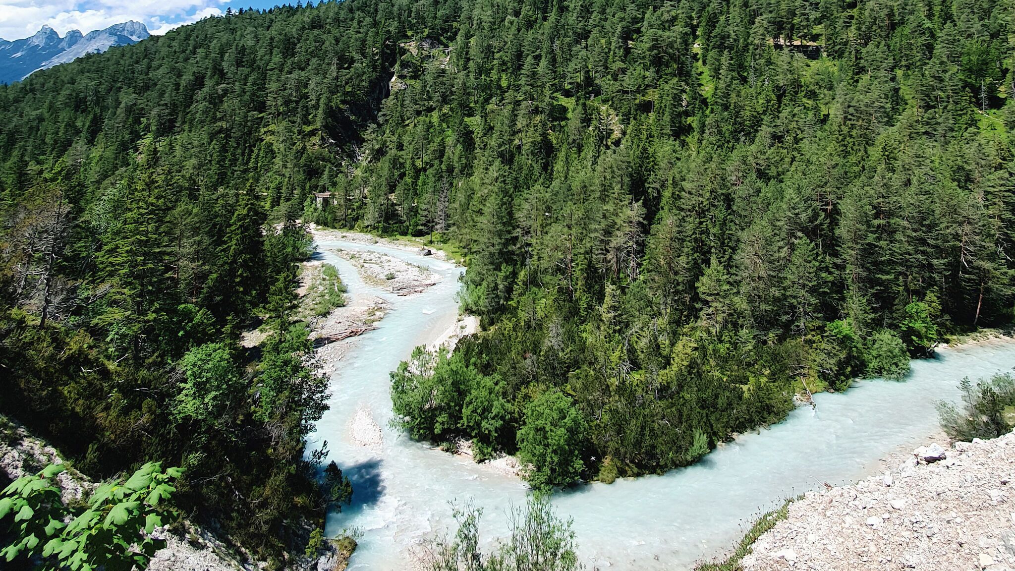
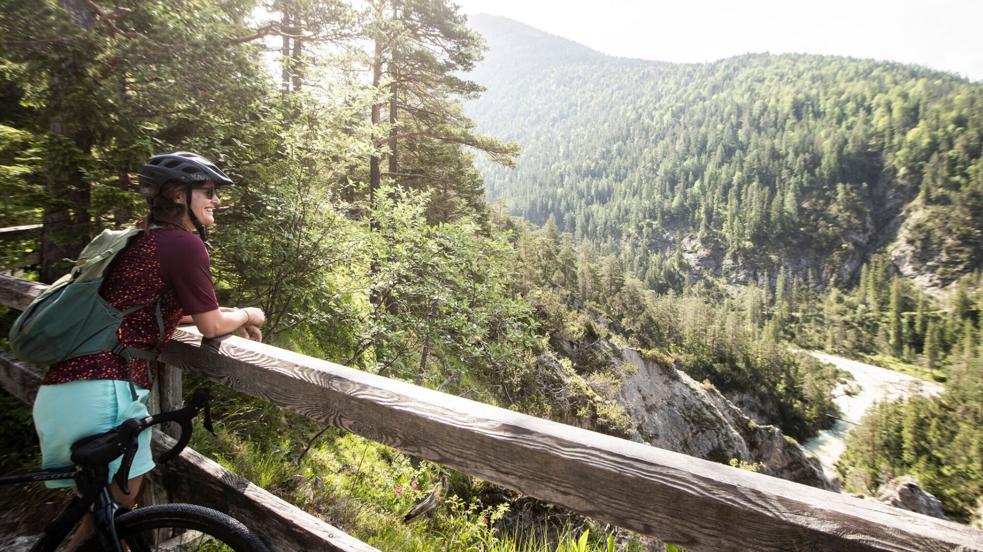
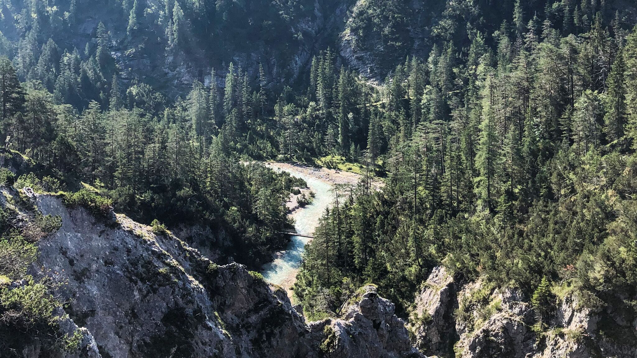
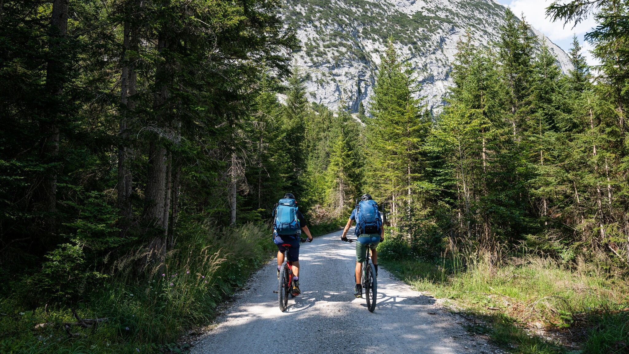
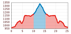
Experience an impressive medium-difficulty bike and hike tour to the Kristenalm with a spectacular panoramic view.
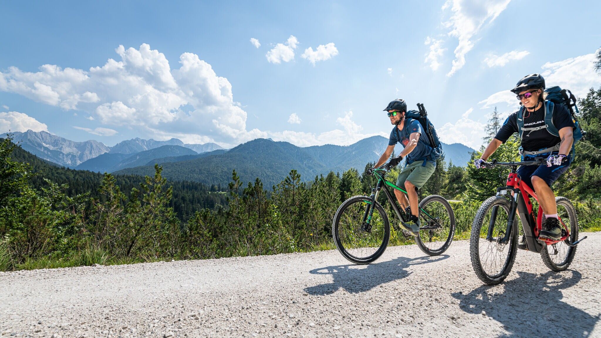
Bike: Asphalt, gravel / Hike: gravel
You can find all the latest information on the road closures in the Seefeld region here.
Have you discovered a spot that we should rework or repair? Fill in the 'Report hazard' form and let us know where work is needed in the region.
Off-road bike (mountain bike, gravel bike, trekking bike, etc.), helmet, gloves
Suitable equipment is also available in the bike stores in the region.
For the hike: Sturdy hiking shoes, functional clothing, a backpack, water, snacks, alpine experience, and sure-footedness are necessary for this tour! Also recommended: a hiking map or GPS, a first aid kit, sun protection, hiking poles, and an emergency blanket.
To save time, it is recommended to take the bike up to crossing Kristenalm/Möslalm and then continue on foot to the Kristenalm.
From the Scharnitz Nature Park Info Center follow the forest road into the Gleirschtal and after a few kilometers leave your bike at the junction into the Kristental. From here, continue on to the Kristenalm on foot (bikes are not allowed). Return to the starting point along the same path.
Details for one direction:
By train to Scharnitz train station, then approx. 3 minutes by bike to the starting point at the Nature Park Information Center.
All real-time connections can be found in the route planner.
You can find all information about bicycle transportation on the bus here.
Guest Card = Travel Card: The guest card is valid during your stay as a ticket for all public bus connections in the region (up to Telfs and Mittenwald). In addition, the train ride between Seefeld and Scharnitz and the Wildmoosbus are also included. However, a separate ticket for bicycle transportation on the train must be purchased at the ticket counter of the Seefeld information & mobility center or online.
Parking P2 “Karwendelparkplatz Länd” - Scharnitz.
Cyclists can also use the following parking lots: P1 (Riedboden) coming from Munich and P4 (Mühlberg) coming from Innsbruck.
From these parking lots you can reach the starting point at the Scharnitz Nature Park Information Center by bike in about 5 minutes.
You can find all other car parks in Scharnitz here.

.jpg")

.jpg")
.jpg")

.jpg")

.jpg")
.jpg")


.jpg")
.jpg")
 (2).jpg")
