
Difficulty:easy
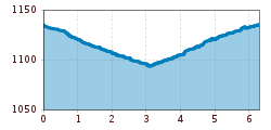
Length:6.8 kmDuration:2:30 hElevation uphill:297 m
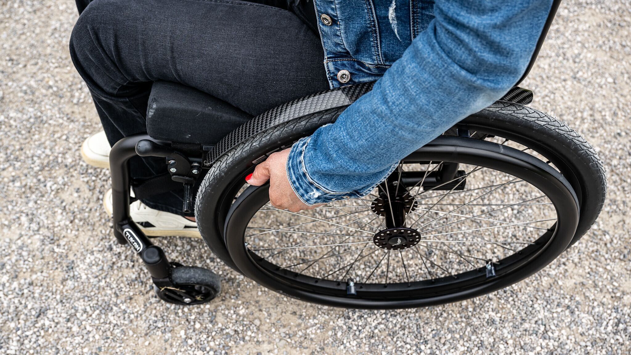
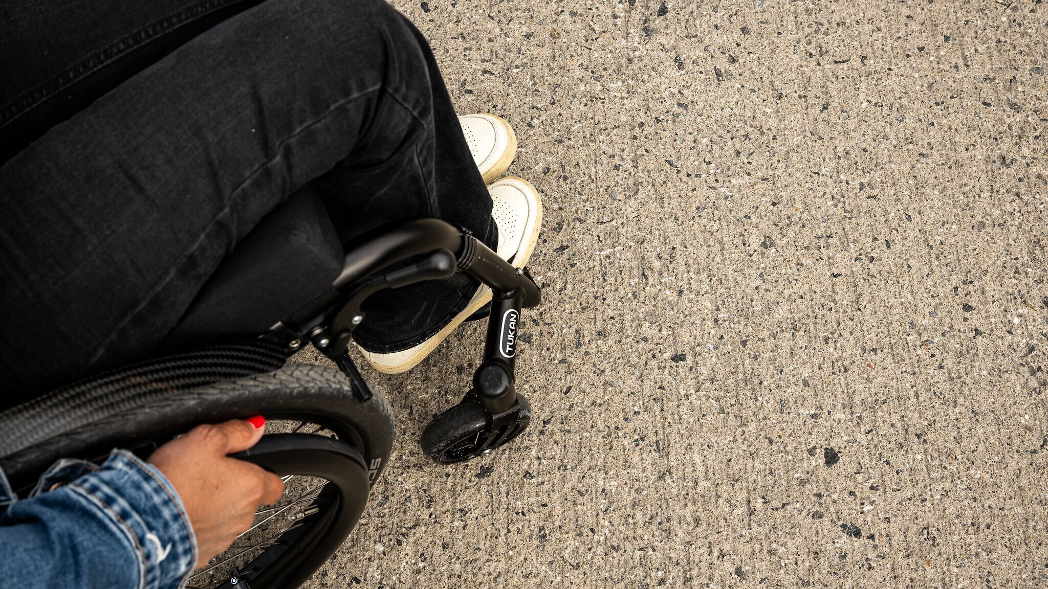
Easy, wheelchair-accessible circular hike from Leutasch along the Achweg and Runst
Meadow paths, root path and gravel trails.
All current information about the trail closures in the Region Seefeld can be found here.
Have you been out and about in the Region and discovered a spot that we should rework or repair? Fill out the form "Report a danger zone" and let us know where work is needed.
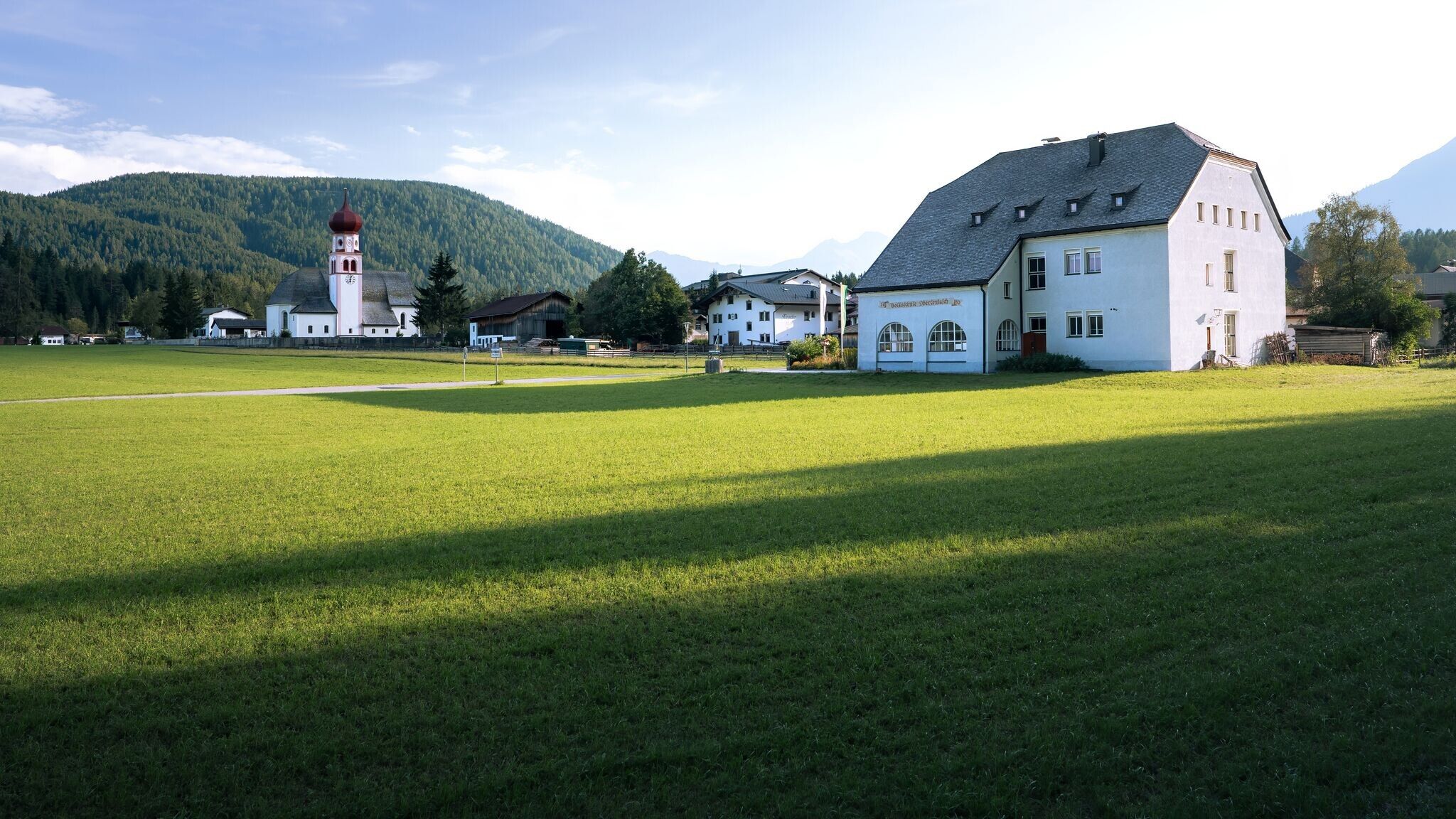
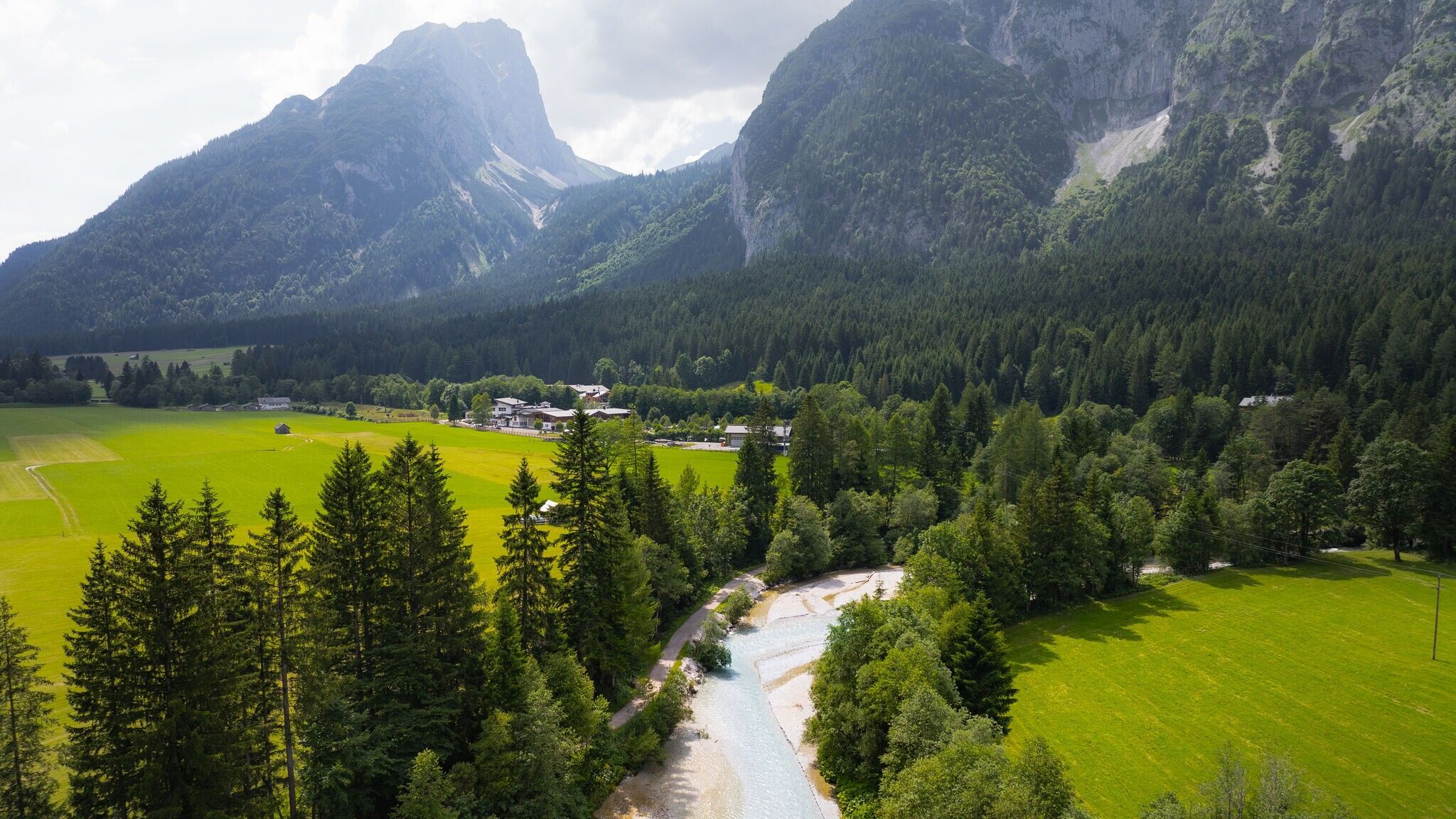
This easy, wheelchair-accessible hiking trail takes you through the beautiful Leutasch Valley. The trail is flat, wide, and has no particular danger spots. Over 6.3 km, you will discover the romantic hamlets of the plateau community, walk along the Leutascher Ache, and unwind at the edge of the forest.
The route starts depending on your arrival at Parking Lot P9 (Leutasch Tourist Office) or the bus stop Leutasch Kirchplatzl. From the bus stop, follow the road heading north and then turn left when you see the gas station. After a few meters, you’ll see a zebra crossing, which you cross, and then you will be at Parking Lot P9. From the zebra crossing, continue left along the main road. Keep going straight for a while until you pass another bus stop.
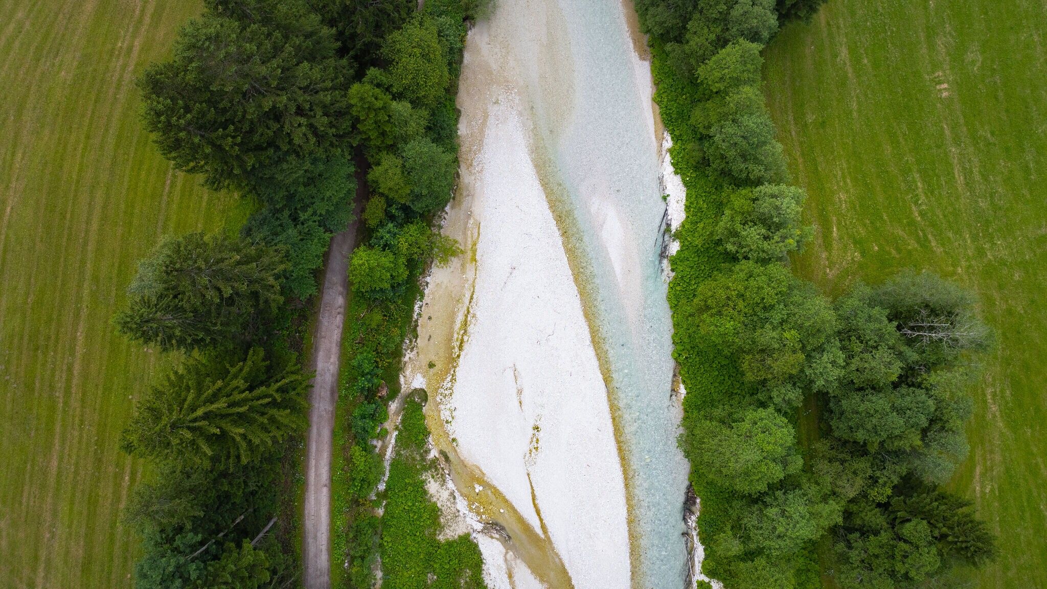
Next, you will cross a bridge on your right, at the end of which you will change sides of the street. Opposite the Alpenbad parking lot, the gravel path becomes much quieter. The hiking trail meanders, always accompanied by the Ache, in a long left curve until you reach the next bridge. Same procedure as the last bridge: You cross the bridge, change sides of the street, and follow the path along the Ache, this time on the left side. The path now winds up the Leutasch Valley, with the Ache never leaving your side. Here, you have plenty of time to pause and really enjoy the nature around you. Please note that the gravel along this trail is quite rough in some sections.
Halfway along the path, you’ll encounter an adventure playground, and after about 700 meters, the trail returns to asphalt. Keep to the left at the bridge and follow the road until you come to a Stop sign where it meets the "main road." Follow the road left for a short distance, then turn right just after the bus stop. From here, the road winds through houses and meadows until you reach the edge of the forest. Keep left here and stay along the forest edge until after a few meters, you’ll see a gravel path open up to your right. After a short, narrow section, the path continues for nearly 2 km along the forest edge heading west.
At the level of the sports field, turn left onto an asphalt road, then immediately turn right toward the Ganghofer Museum. You will soon pass through fields and reach the museum, then turn left. After another left curve, you will once again spot the Parish Church St. Magdalena. From here, you can either board the bus again or continue straight back to Parking Lot P9.


")
.jpg")

.jpg")


.jpg")
.jpg")

")


")
.jpg")
.jpg")

.jpg")


