
Difficulty:medium
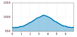
Length:5.0 kmDuration:2:30 hElevation uphill:255 m
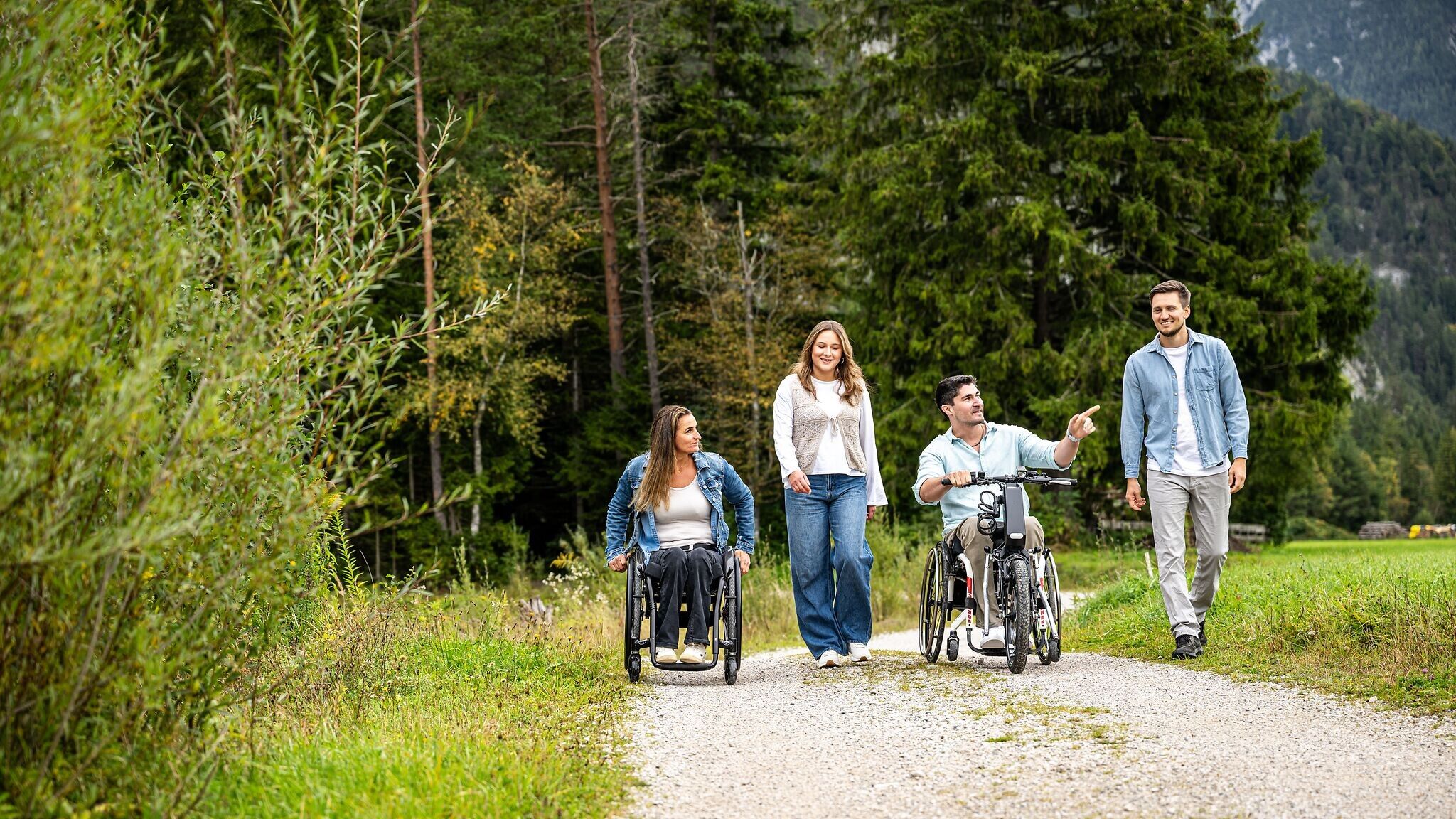
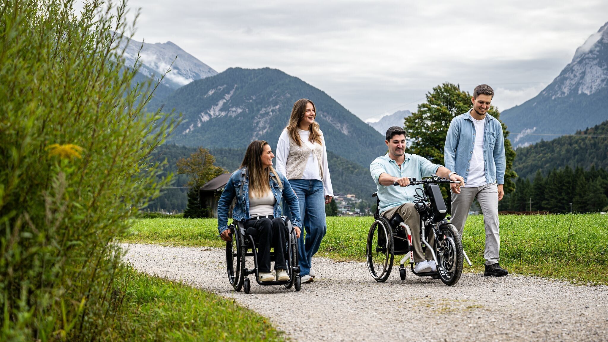
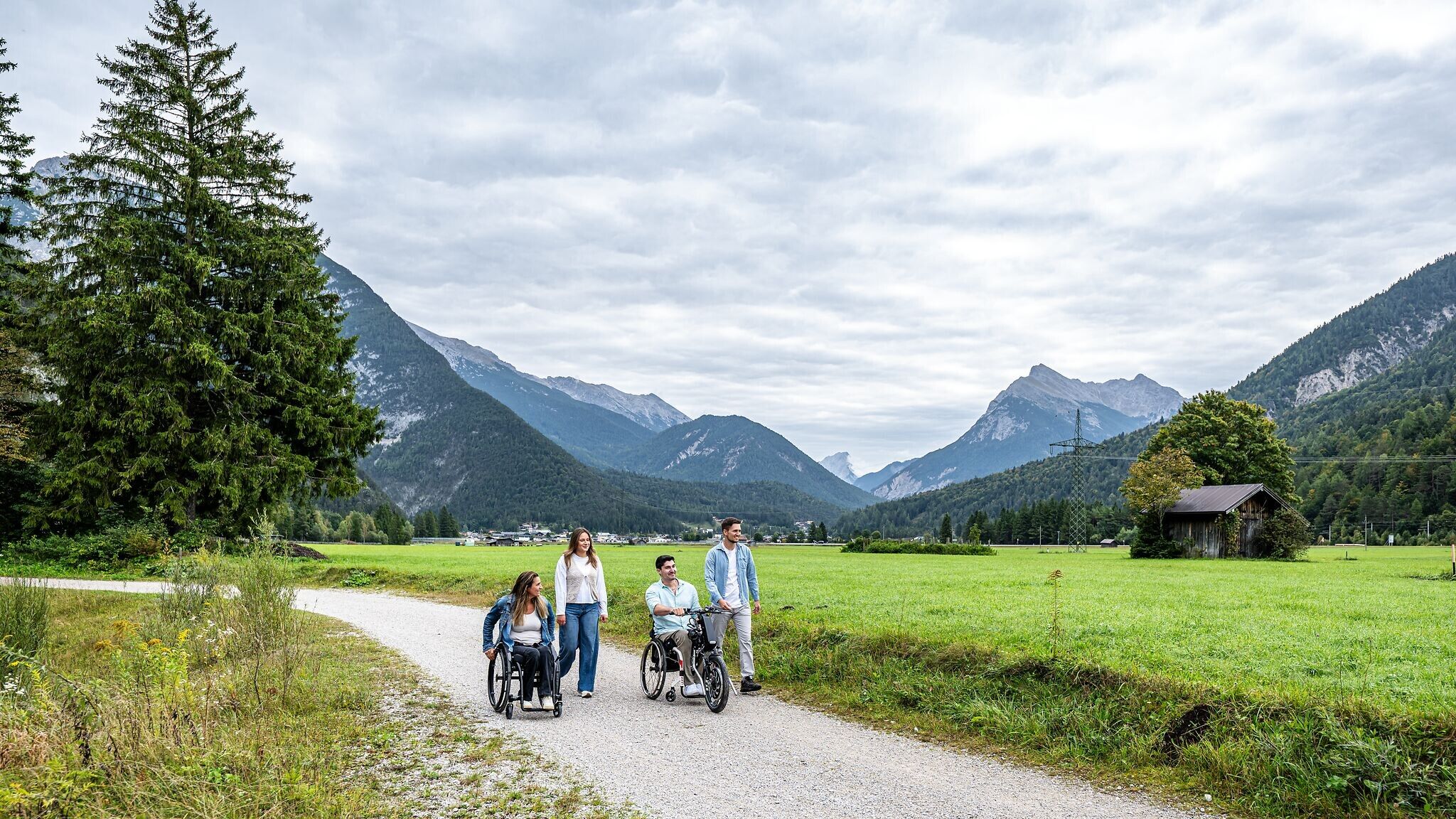
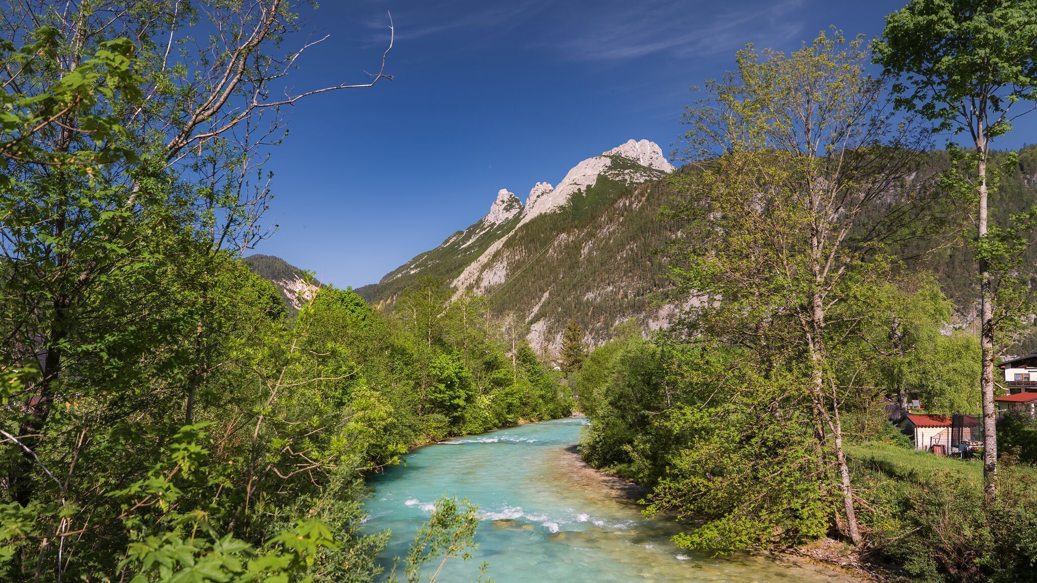
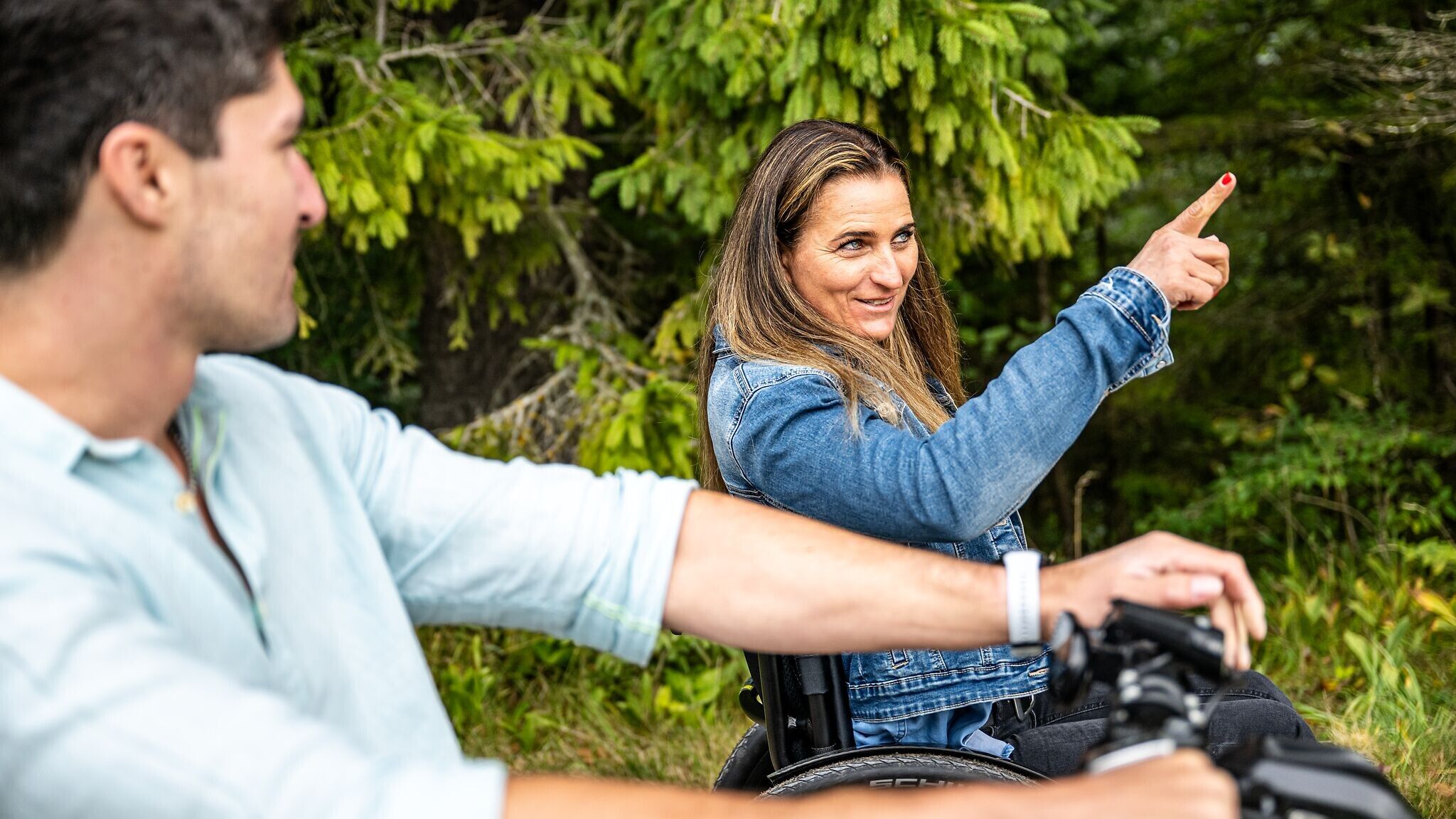
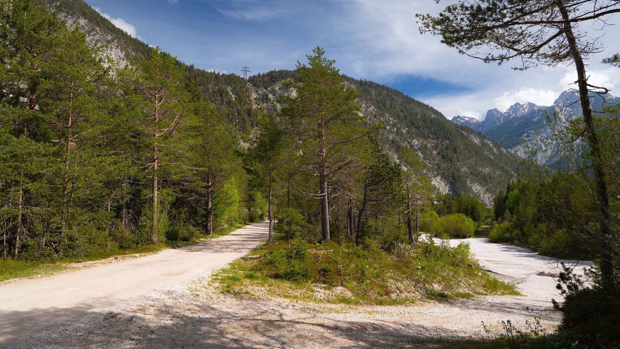
Easy, wheelchair-accessible hike from Scharnitz along the Gießenbach stream.
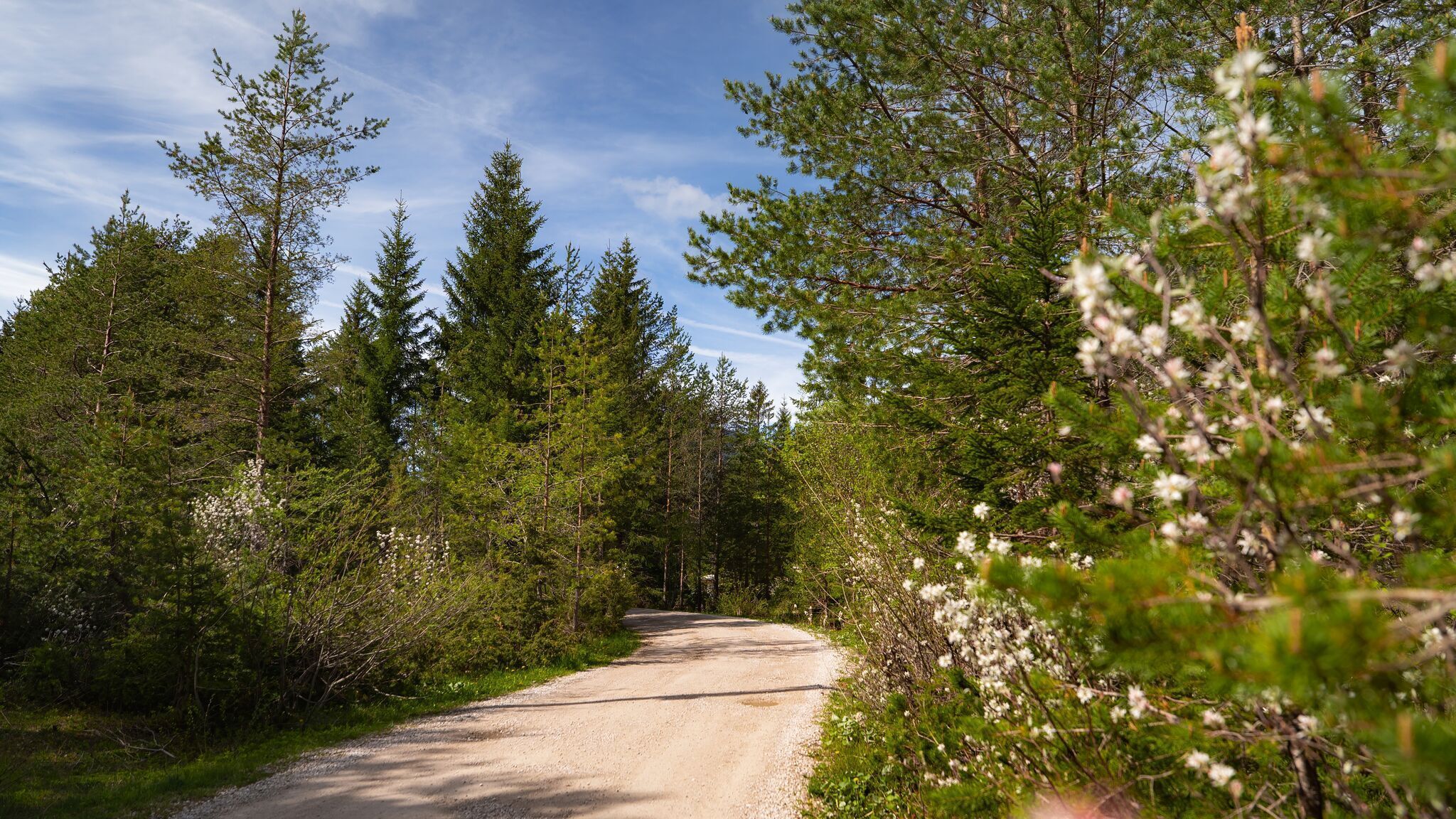
Forest path, asphalt road, and gravel path.
All current information about the trail closures in the Region Seefeld can be found here.
Have you been out and about in the Region and discovered a spot that we should rework or repair? Fill out the form "Report a danger zone" and let us know where work is needed.
This easy, wheelchair-accessible trail takes you through the idyllic landscape between Scharnitz and Gießenbach. Covering around 7 km, the route runs mostly along the gentle Gießenbach stream, inviting you to pause and enjoy the peaceful atmosphere. The path is flat, wide, and free of hazards throughout.
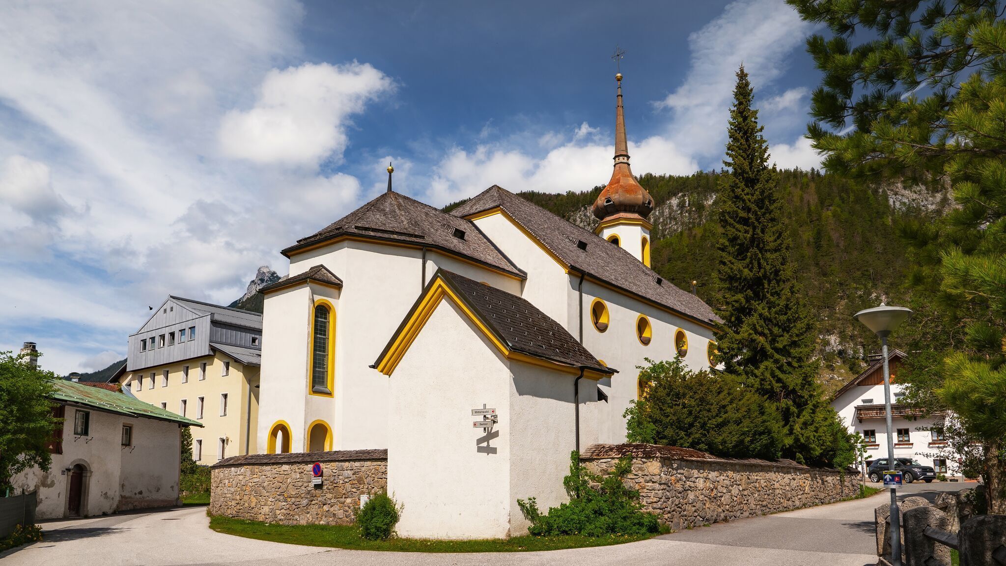
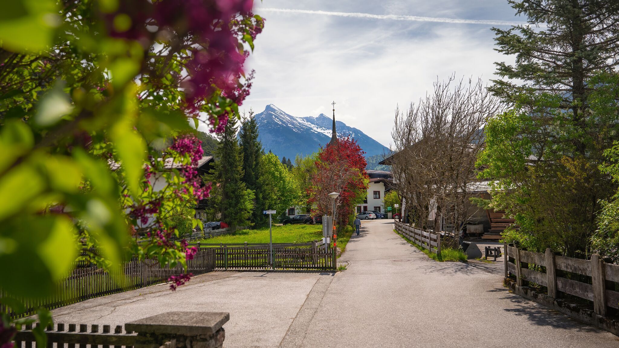
The hike begins at the Nature Park Information Centre in Scharnitz, which is accessible both by car and train. Here you’ll find two disabled parking spaces and an accessible toilet. After a quick stop for information, follow the Isar promenade towards the parish church Maria Hilf, cross the road, and continue into Porta-Claudia-Straße. At the end, turn left onto a gravel path, where the Gießenbach already flows alongside.
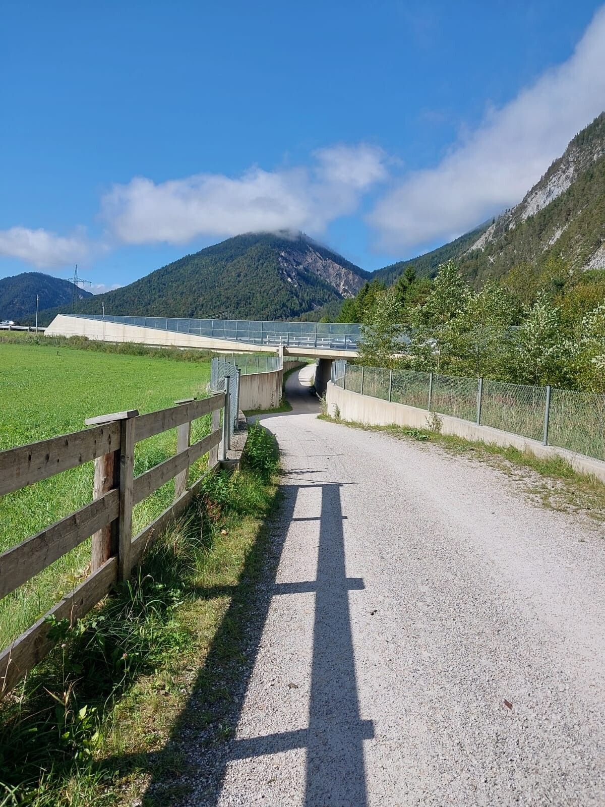
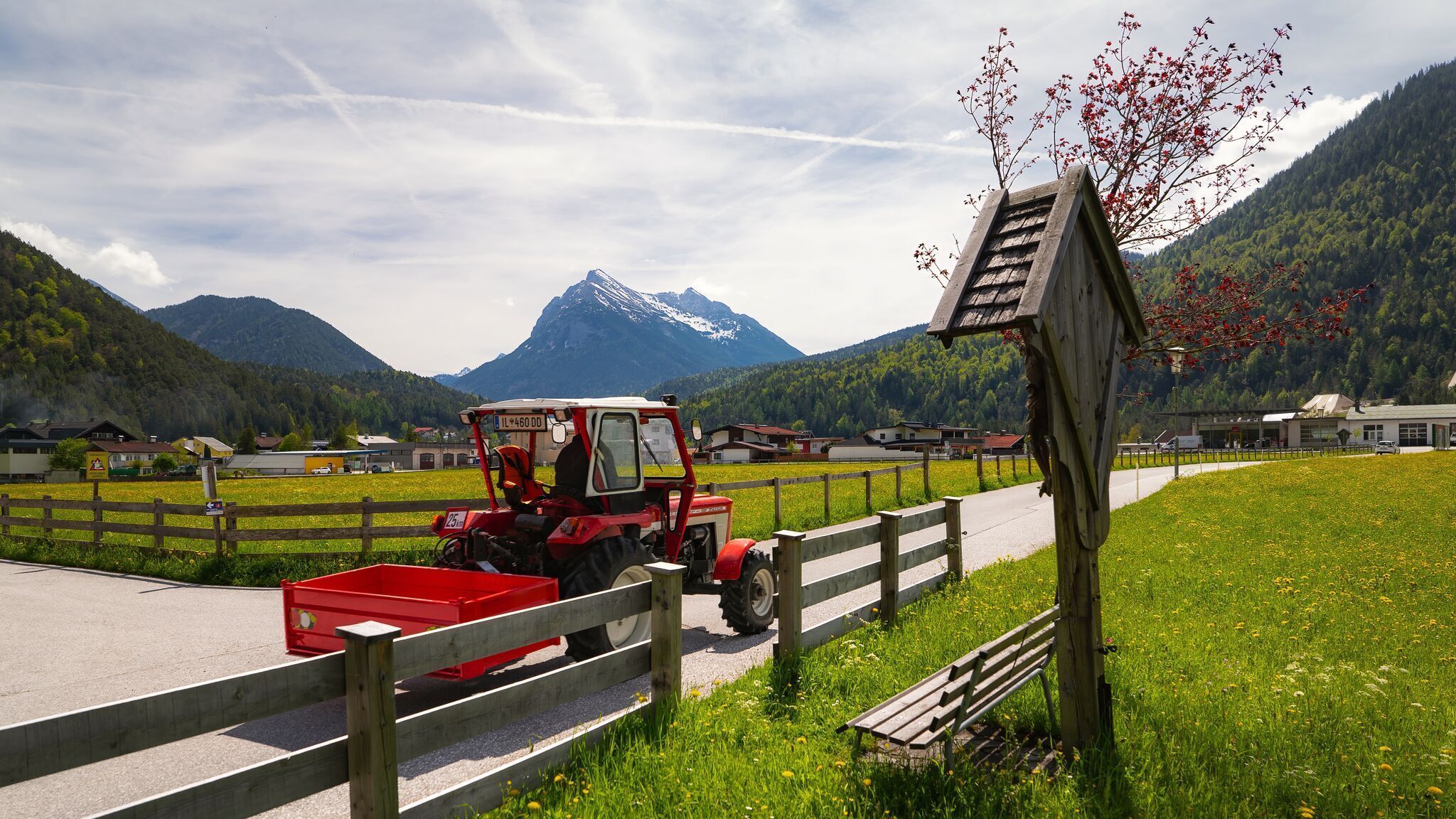
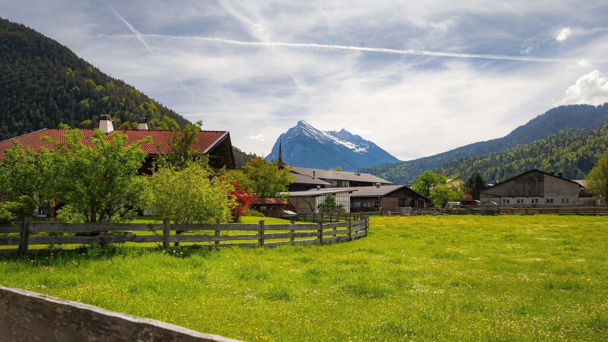
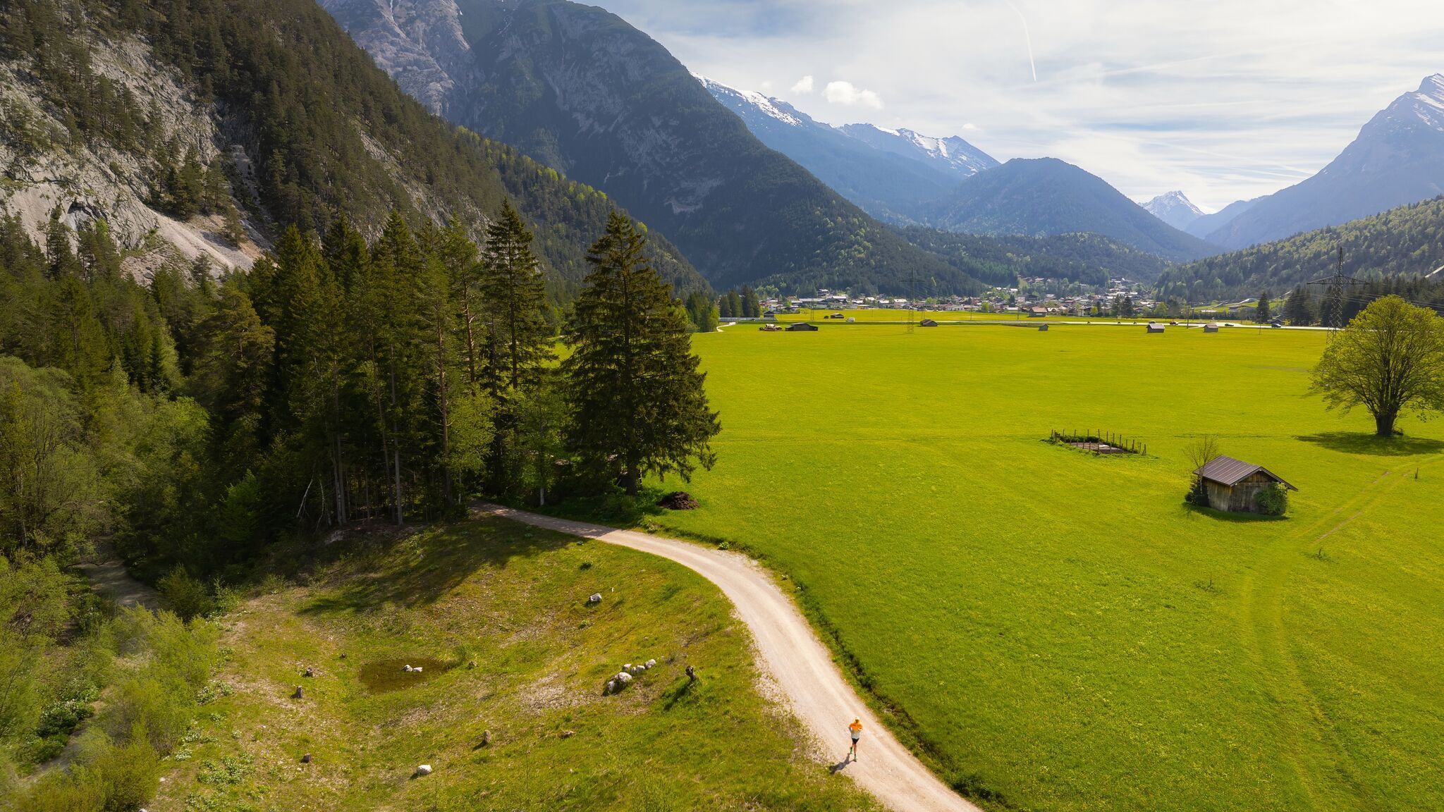
After a short section, the gravel path meets an asphalt road. Cross the small bridge and continue again on a gravel track, leading towards Gießenbach. At the edge of the village, you pass under a slightly steeper underpass of the federal highway—however, the path is very wide and the gravel is well compacted. From here, the well-maintained gravel path follows the stream almost all the way. The tranquillity of the Karwendel valleys and peaks surrounding you makes this section especially rewarding.
After several kilometres, the trail passes through a small forest section. A little further on, you’ll cross the Gießenbach for the first time. Take the second left afterwards – if you reach the football pitch, you’ve turned too soon. The stream widens here, guiding you gently through the forest until you reach the road end at Gasthof Ramona. The restaurant is barrier-free, but note that there is no accessible toilet available.
Continue past the inn and follow the road northwest to a junction, where you turn left and cross the main road near the bus stop (caution: no zebra crossing). Heading southeast, pass the Eppzirl car park until you reach the railway tracks. Before crossing, turn right to access the barrier-free train station platforms. Trains run roughly every 30 minutes, either back to Scharnitz or onwards to Seefeld. Alternatively, you can simply return the same way if you prefer a round trip.
Back in Scharnitz, follow the pavement along Innsbrucker Straße south to parish church Maria Hilf, then turn left into Hinterautalstraße to return to your starting point at the Nature Park Information Centre.


.jpg")
.jpg")
 (2).jpg")

.jpg")

.jpg")


.jpg")


 Olympiaregion Seefeld")

