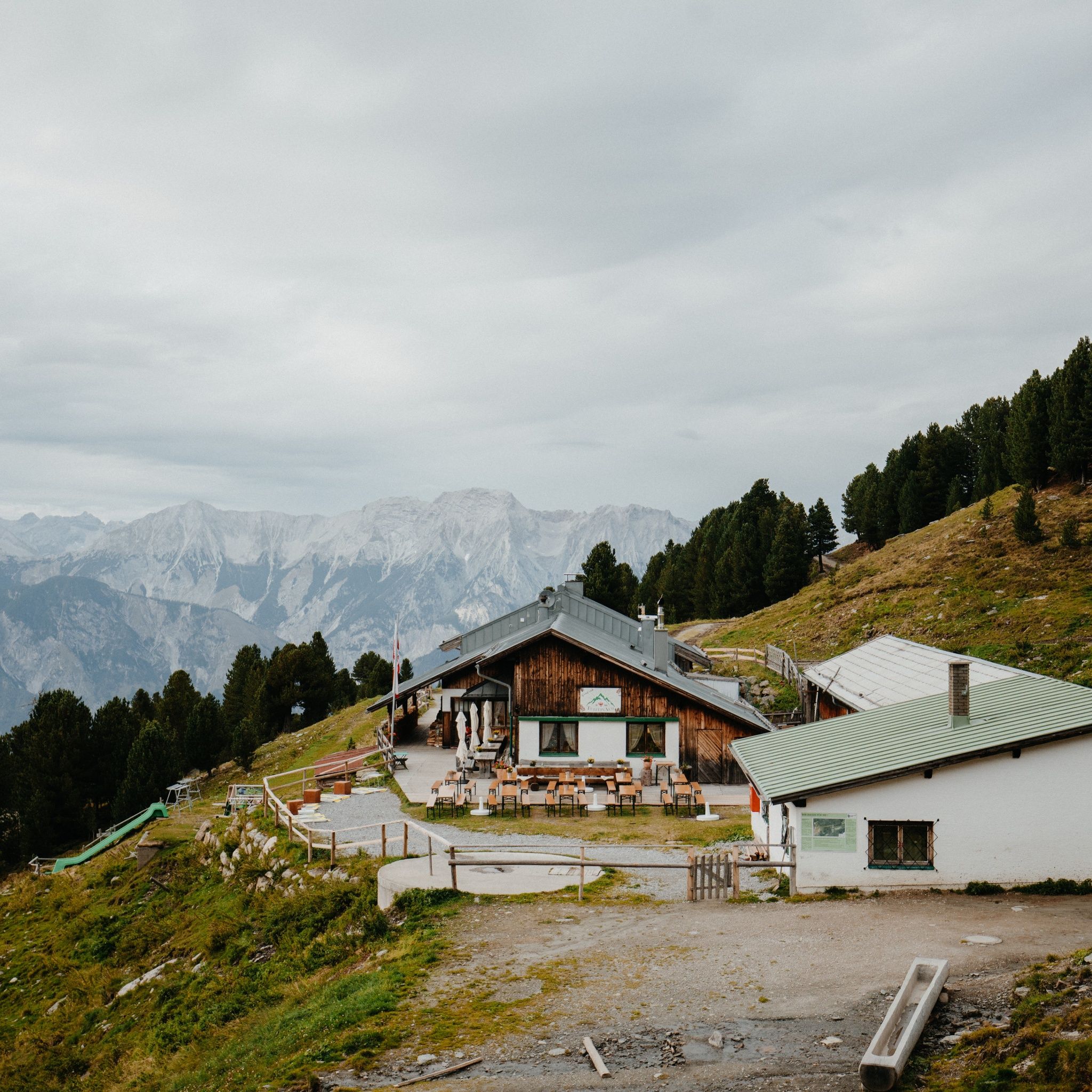
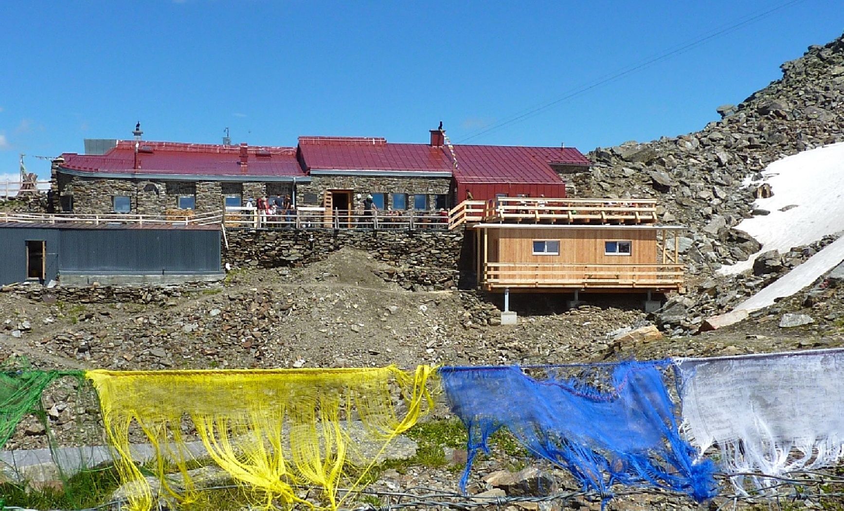
Mountain hikes From Tulfeinalm to the Glungezer summit

Tulfes / Tuxer Alpen
Difficulty ratings: medium
Route length: 8.7 km
Duration: 4:00 h

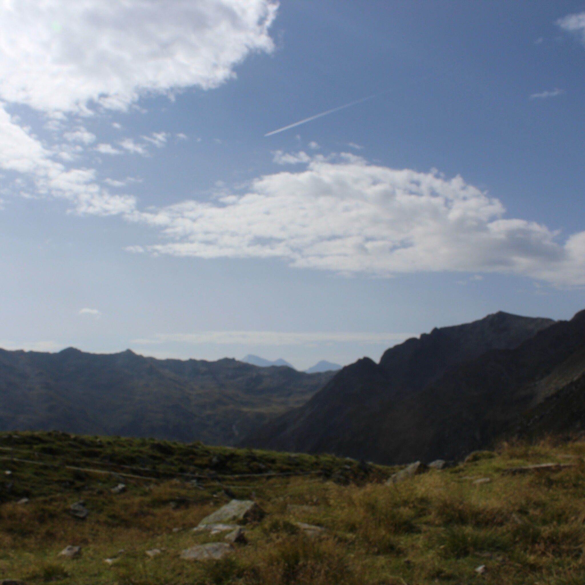
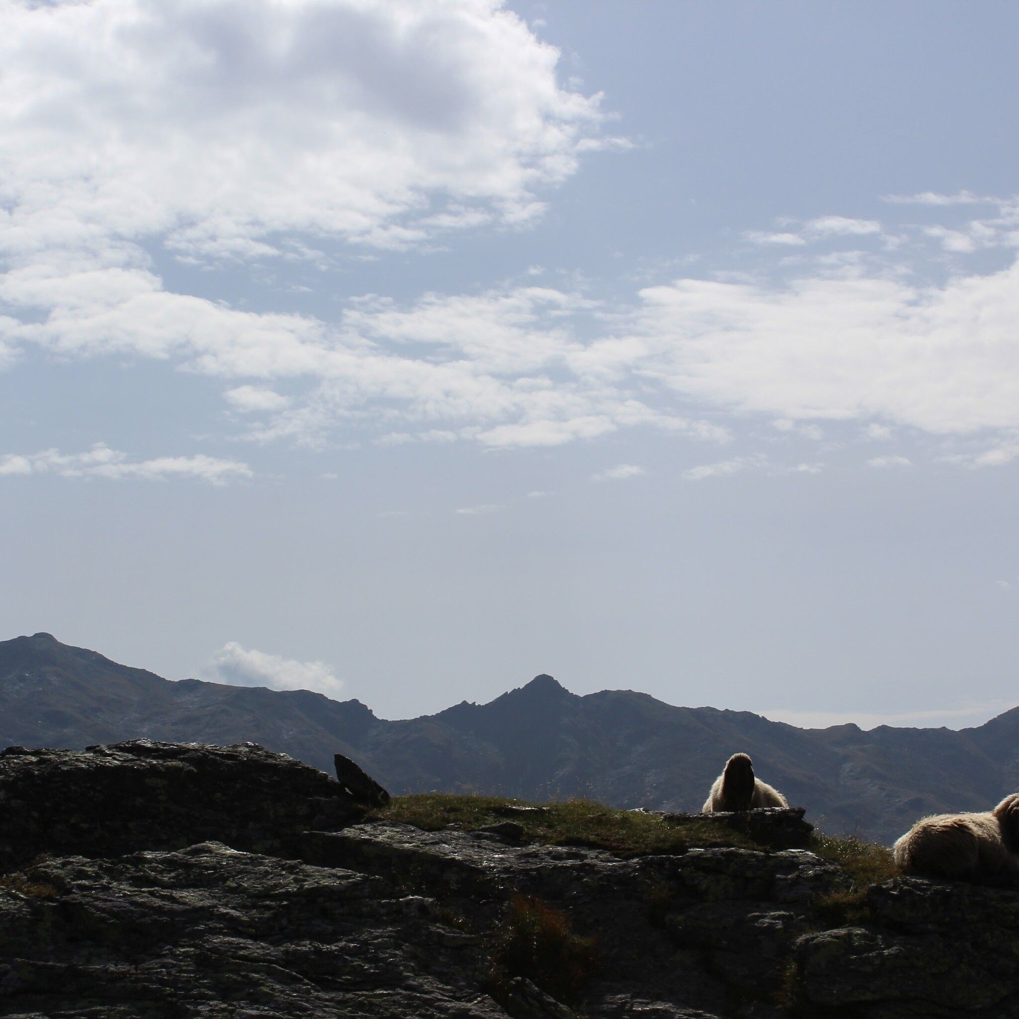
Summit panorama of 500 peaks, cols & ridges

Tour information

  • Requirement: medium
  • Length: 8.7 km
  • Duration: 4:00 h
  • Elevation uphill:754 hm
  • Elevation downhill:754 hm
Highest point2,676 m

Starting point

Tulfeinalm

Finishing point

Tulfeinalm
  • Fitness level 4 / 6

Best time of year

  • January
  • February
  • March
  • April
  • May
  • June
  • July
  • August
  • September
  • October
  • November
  • December
Source: Hall Wattens

Description

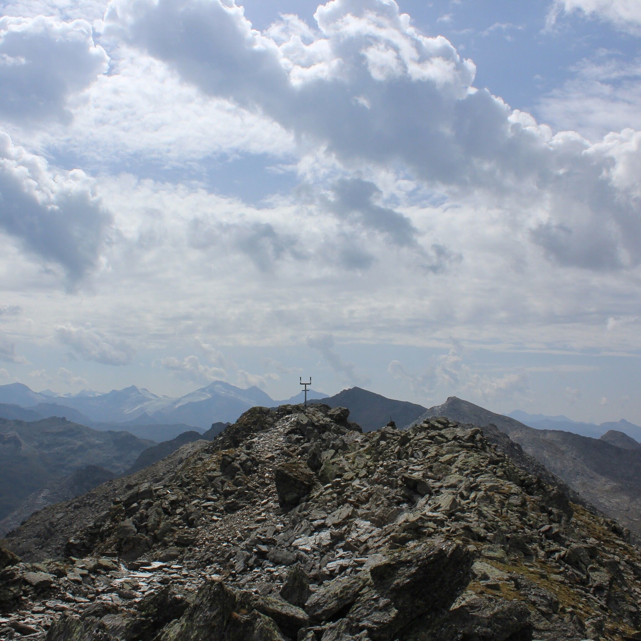
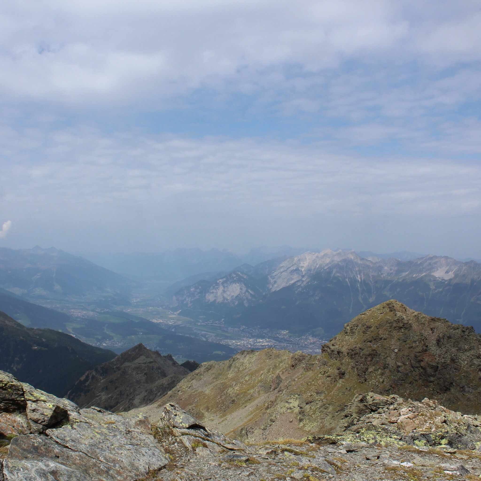
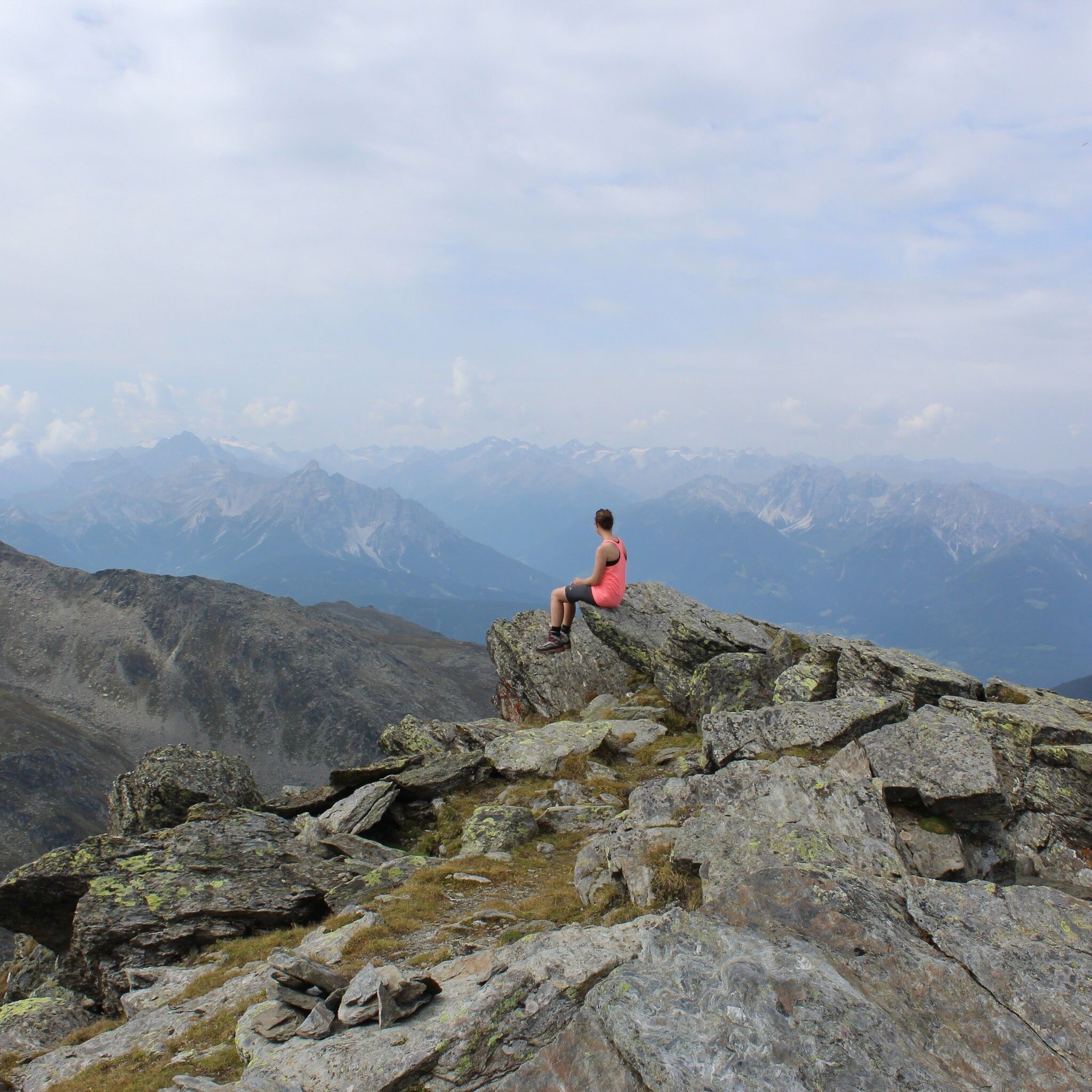
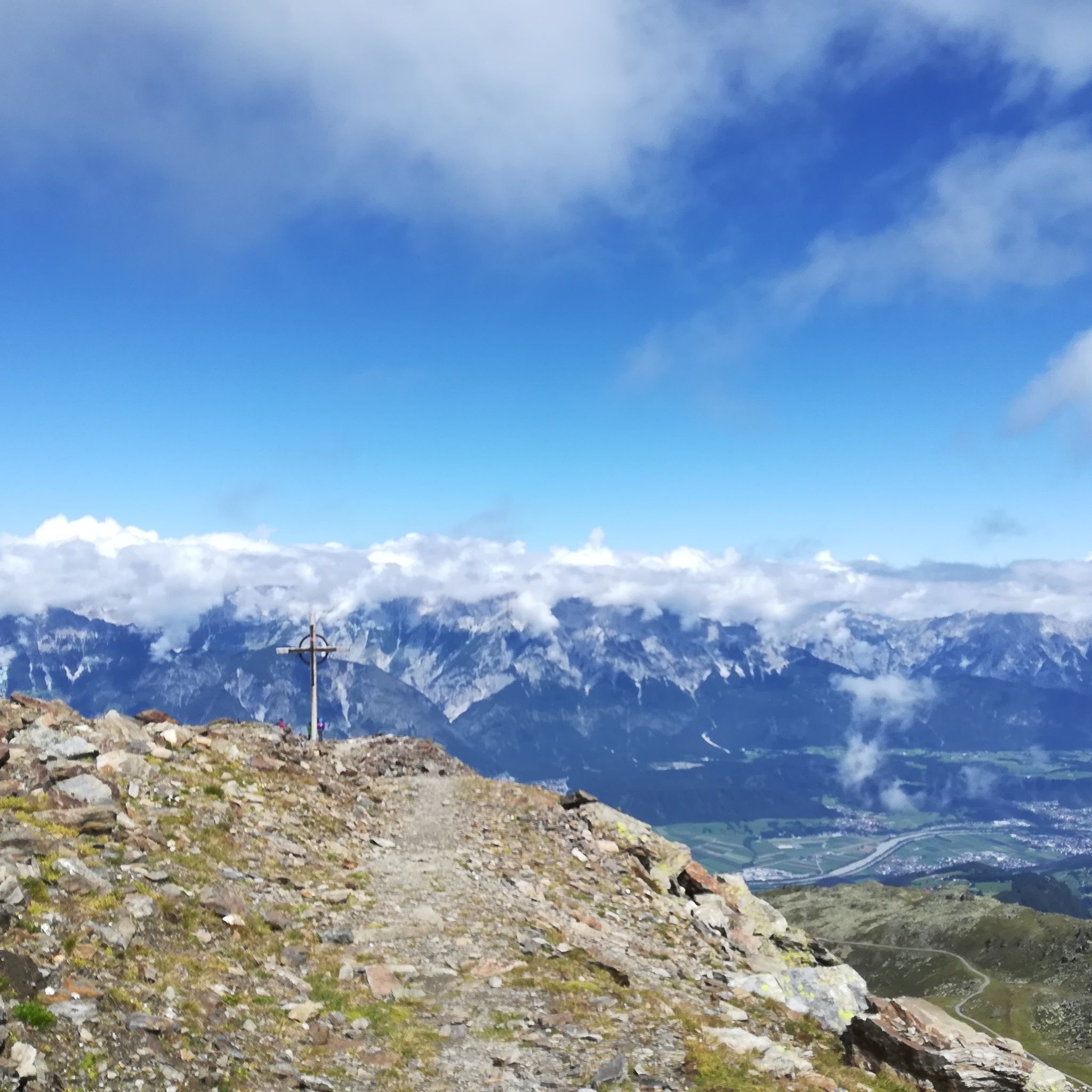
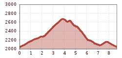
You can comfortably gondola up to the Tulfein mountain station with the Glungezer cable car. From here, hiking boots are tightened and in 1.5 to 2 hours you reach the summit of the Glungezer with its impressive summit panorama.


Nearby huts and mountain restaurants

Getting here

  • Arrival by public transport

    Bus 540 to the valley station of the Glungezer cable car

  • Parking

    Tulfes Glungezer cable car

More tours in the surrounding area

Newsletter

The mountain is calling? So does our newsletter!

In our monthly newsletter we reveal the best holiday tips for Tyrol.