
Place:Inzing
:Alpine pasture / hut / mountain restaurant:vegetarian
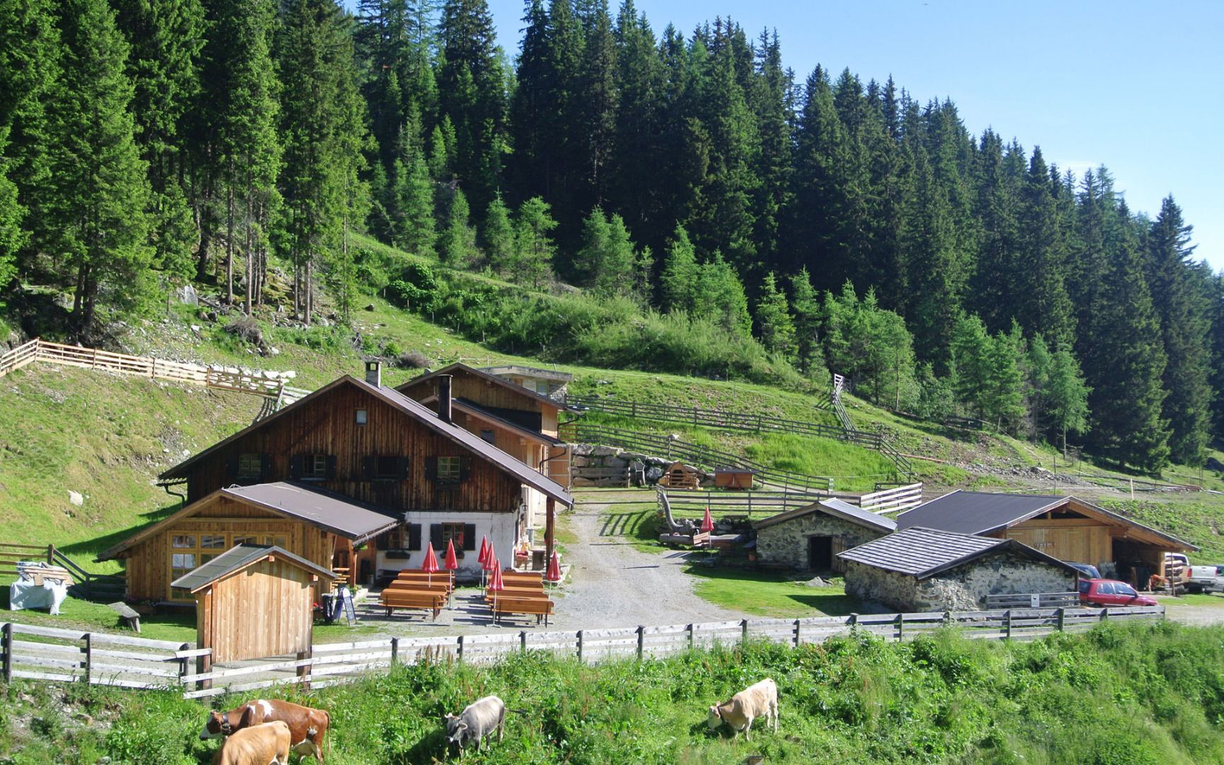
Inzing - Inzinger Alm mountain hut

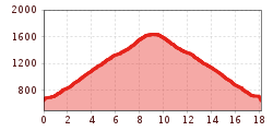
From the car park at the swimming pool in Inzing (Murkapelle), the trail first leads westwards and immediately after the bridge, turn right towards the south. Follow the tarmac road to the hamlet of Hof, where you turn left at the small chapel and continue southwards.
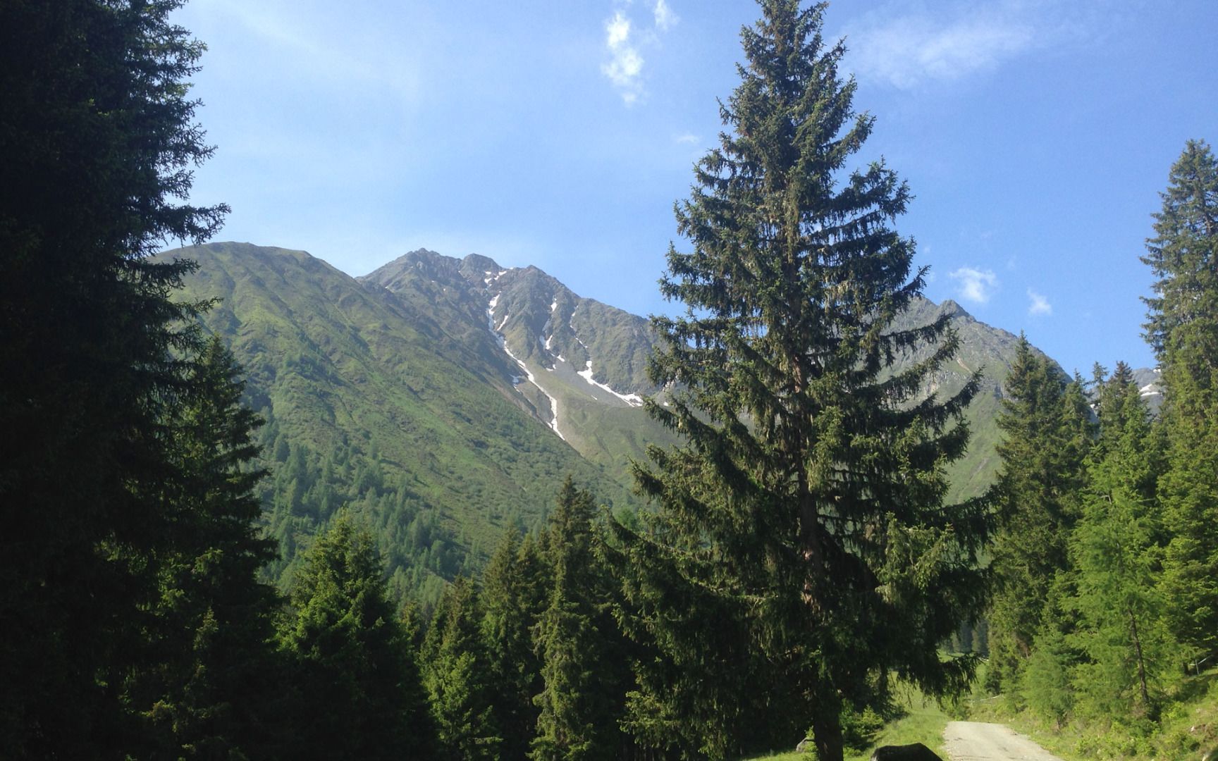
From here, the forest road ‘Hoarligweg’ takes you steadily uphill through the forest. The even gradient makes the hike pleasant, while marvellous views of the Inn Valley and the surrounding mountains line the path time and again.
After around nine kilometres, you reach the serviced Inzinger Alm at 1,641 metres - a perfect place to fortify yourself with regional specialities and enjoy the beautiful surroundings.
For the way back, you can take the same route back to Inzing or, depending on your fitness level and desire, tackle an alternative route. Either way, this tour promises a wonderful nature experience with marvellous views!
.jpg")


.jpg")
_WaLogo.jpg")


