
Opening hours:Today closed
Place:St. Anton am Arlberg
:Alpine pasture / hut / mountain restaurant
Jakobsweg
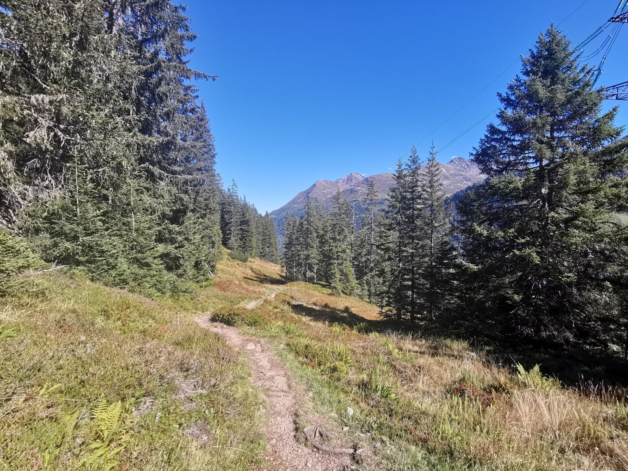
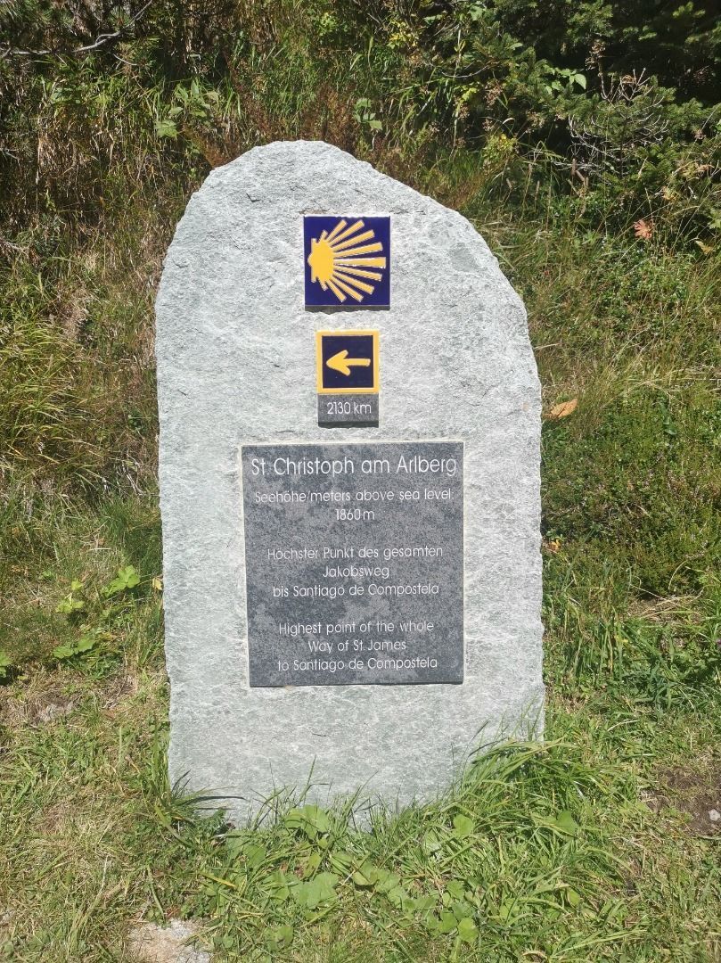

From the starting point at the Lärchkapelle chapel, follow the signs from the Jakobsweg trail under the Zitelwald forest in the direction of Strengen. The trail now leads through the Riefenwald forest to Flirsch, and later past the villages of Schnann and Pettneu to St. Anton. From St. Anton, the trail then leads through the Mühltobelschlucht gorge, via the Sennhütte hut and the Maienweg trail to St. Christoph. (The Maiensee is also the highest point of the Way of St. James)


.jpg")


