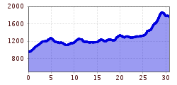
Mountain hikes Jakobsweg - Strengen - Flirsch – Schnann – Pettneu – St. Jakob – St. Anton - Rosannaschlucht - St. Christoph

Pettneu / Lechtaler Alpen
Difficulty ratings: easy
Route length: 30.0 km

Jakobsweg - Strengen - Flirsch – Schnann – Pettneu – St. Jakob – St. Anton - Rosannaschlucht - St. Christoph

Tour information

  • Requirement: easy
  • Length: 30.0 km
  • Elevation uphill:1,200 hm
Highest point1,857 m

Starting point

Lärchkapelle

Finishing point

St. Christoph

Best time of year

  • January
  • February
  • March
  • April
  • May
  • June
  • July
  • August
  • September
  • October
  • November
  • December

Equipment

Good walking boots, poles and drinks/snacks, rain jacket, sun protection
Source: St. Anton am Arlberg (Region)

Description

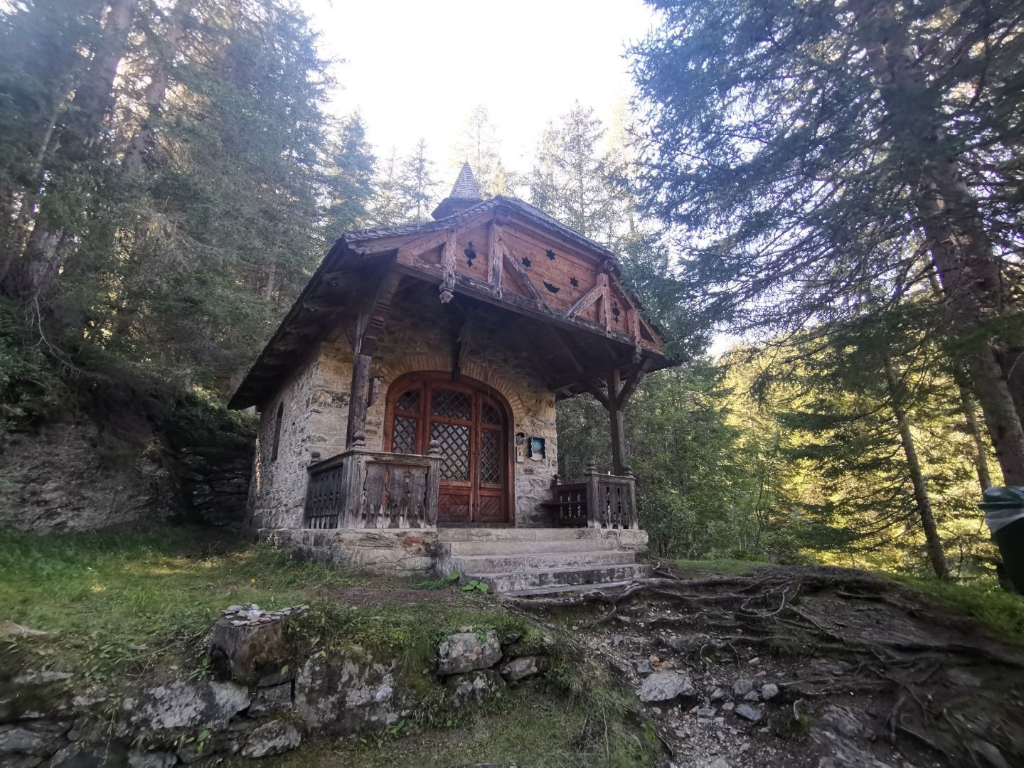
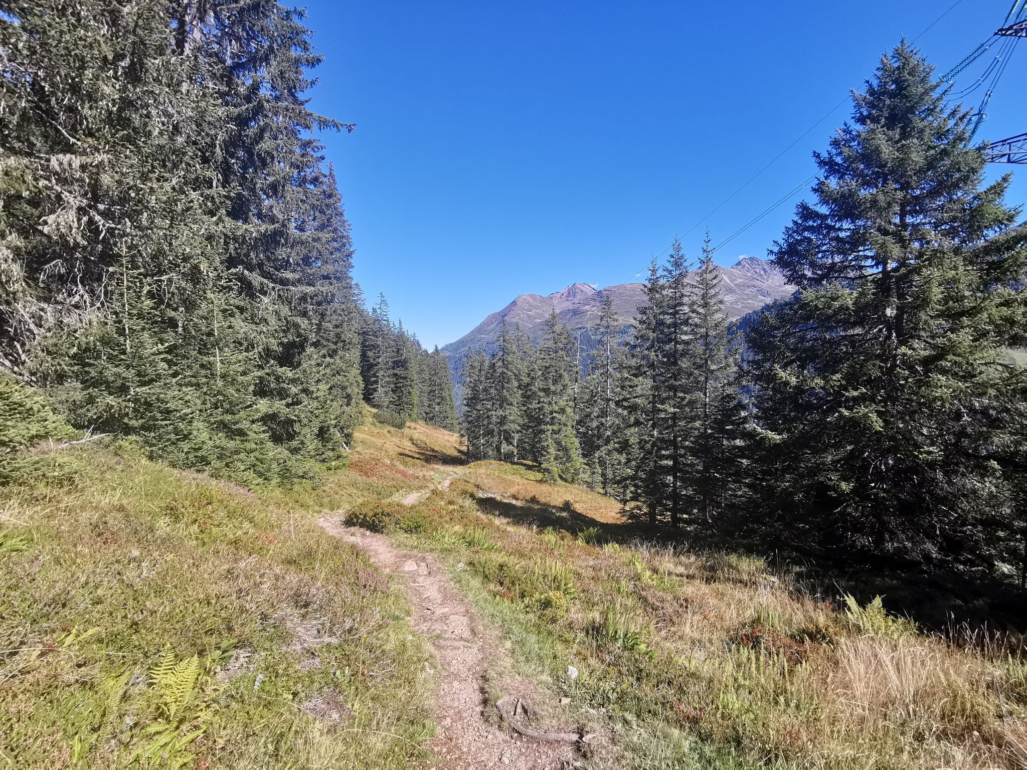
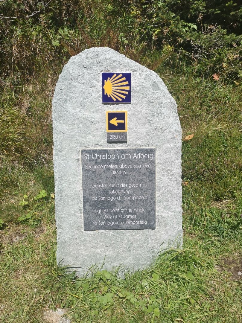
From the starting point at the Lärchkapelle chapel, follow the signs from the Jakobsweg trail under the Zitelwald forest in the direction of Strengen. Now the hiking trail leads through the Riefenwald forest to Flirsch, and later past the villages of Schnann and Pettneu to St. Anton. From St. Anton, the trail then leads through the Rosannaschlucht gorge, Stiegeneckkapelle chapel and the Maienweg lake to St. Christoph. (The Maiensee is also the highest point on the Way of St. James)

More tours in the surrounding area

Newsletter

The mountain is calling? So does our newsletter!

In our monthly newsletter we reveal the best holiday tips for Tyrol.