
Place:Ladis
:Restaurant
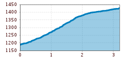
Very beautiful and rewarding hike through open meadowswith fine views. Mule track, partly asphalted. First segment is slightly strenuous, then it becomes flat. Cleared of snow in winter.
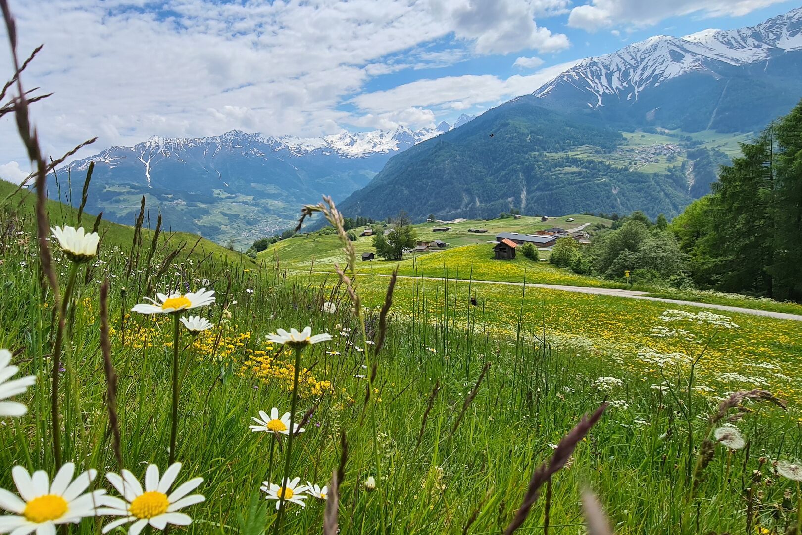
Start at the municipality office (L006) and follow the Razilweg trail until you reach the edge of the town. There, walk upwards until you reach the crossing on the left side (L002). Walk past underneath the Urschbühel, then for a short time walk up a steep part which turns into a flat trail and leads you to Fiss (F001).
Ladis can be easily reached with the hiking bus line 221, which runs between Serfaus, Fiss and Ladis. Please get off at the Ladis Dorf stop.
If you are travelling from Ried, Prutz or Landeck, you can take the regular bus line 220.


