
Opening hours:Open today
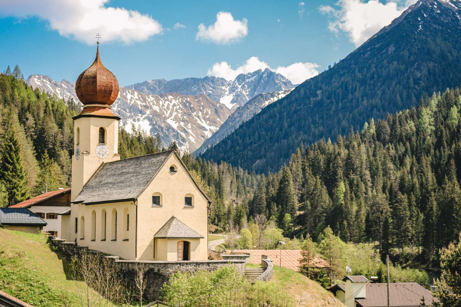
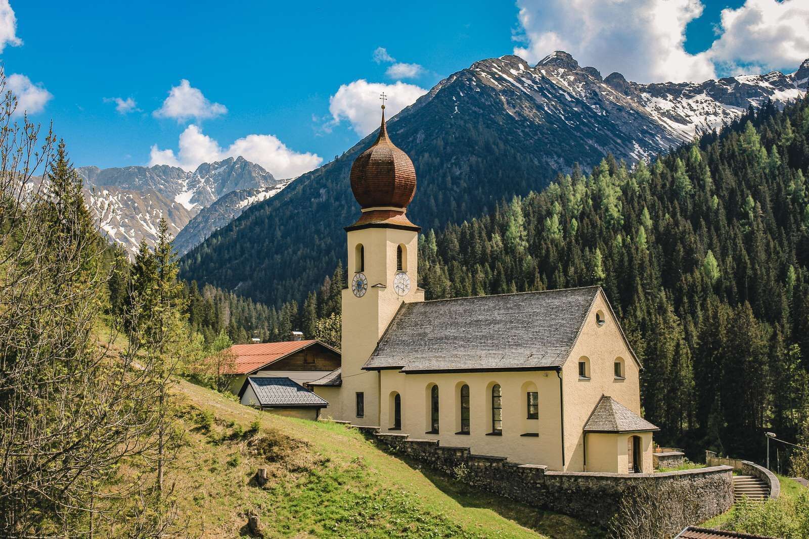
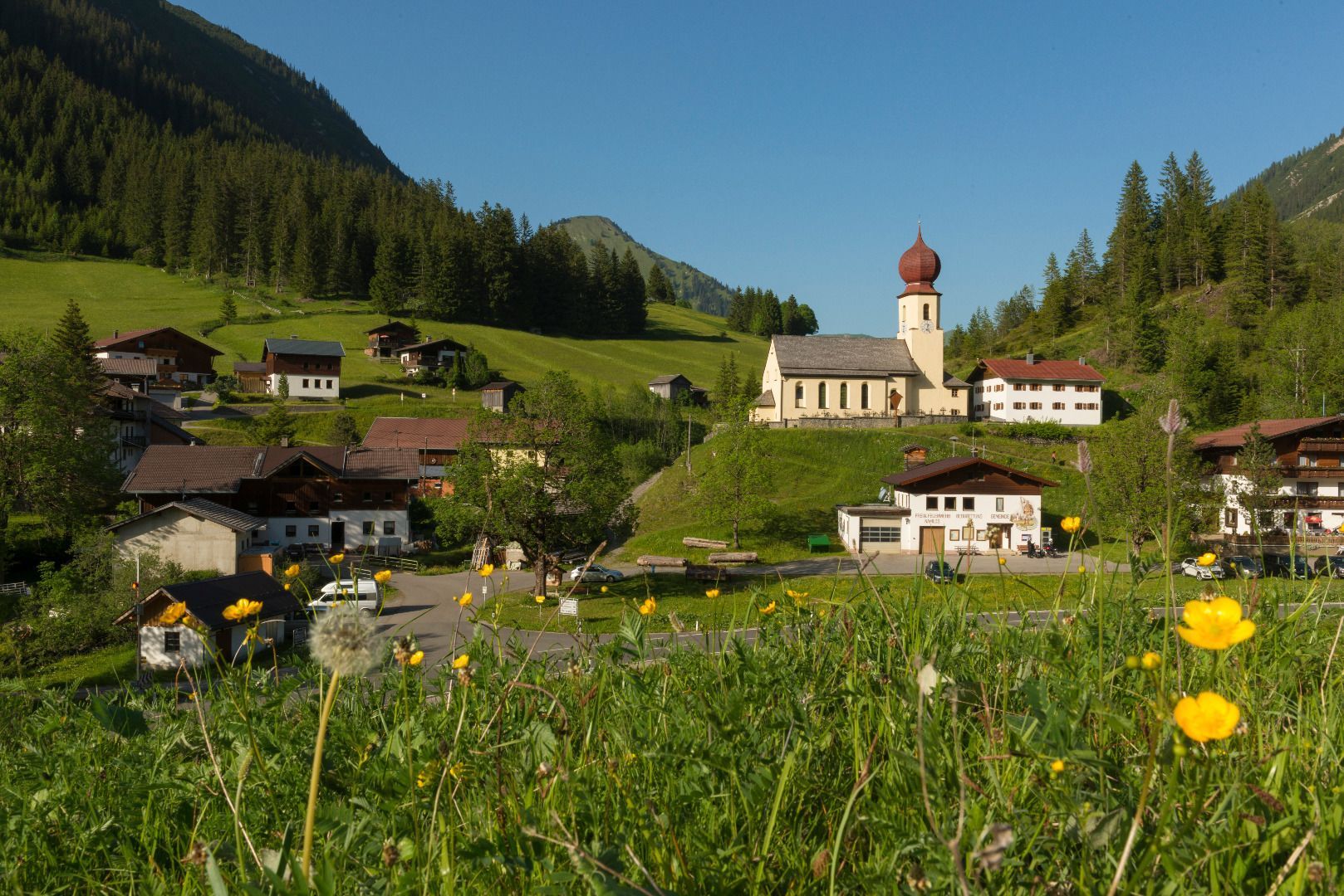
Place:Namlos
:Restaurant
Easy circular path in Namlos
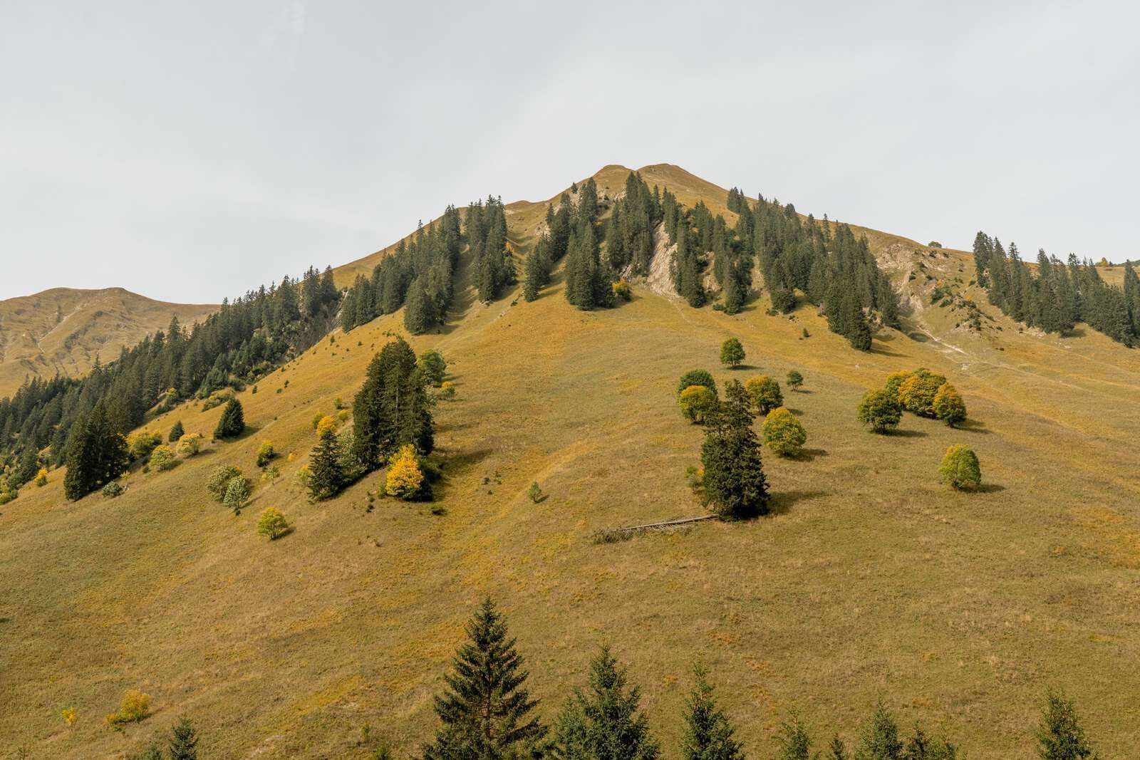
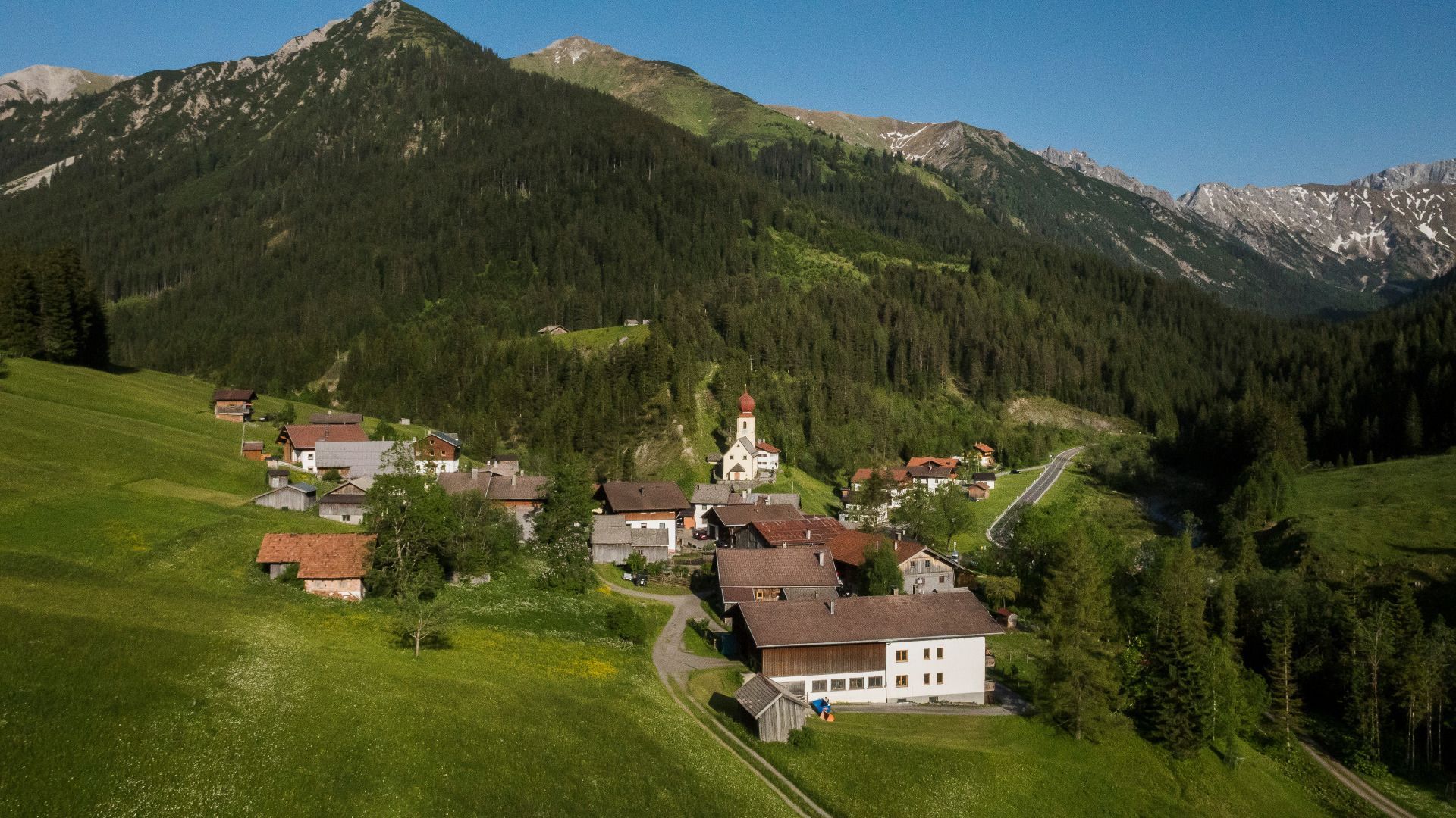
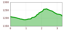
The path starts at the car park in Namlos. Directly there follow the wide gravel forest path towards game feeding, continue along the brook Namloser Bach to the meadow Remaiswiesen. Then ascend approx. 100 meters and via the path Jägersteig back to Namlos.
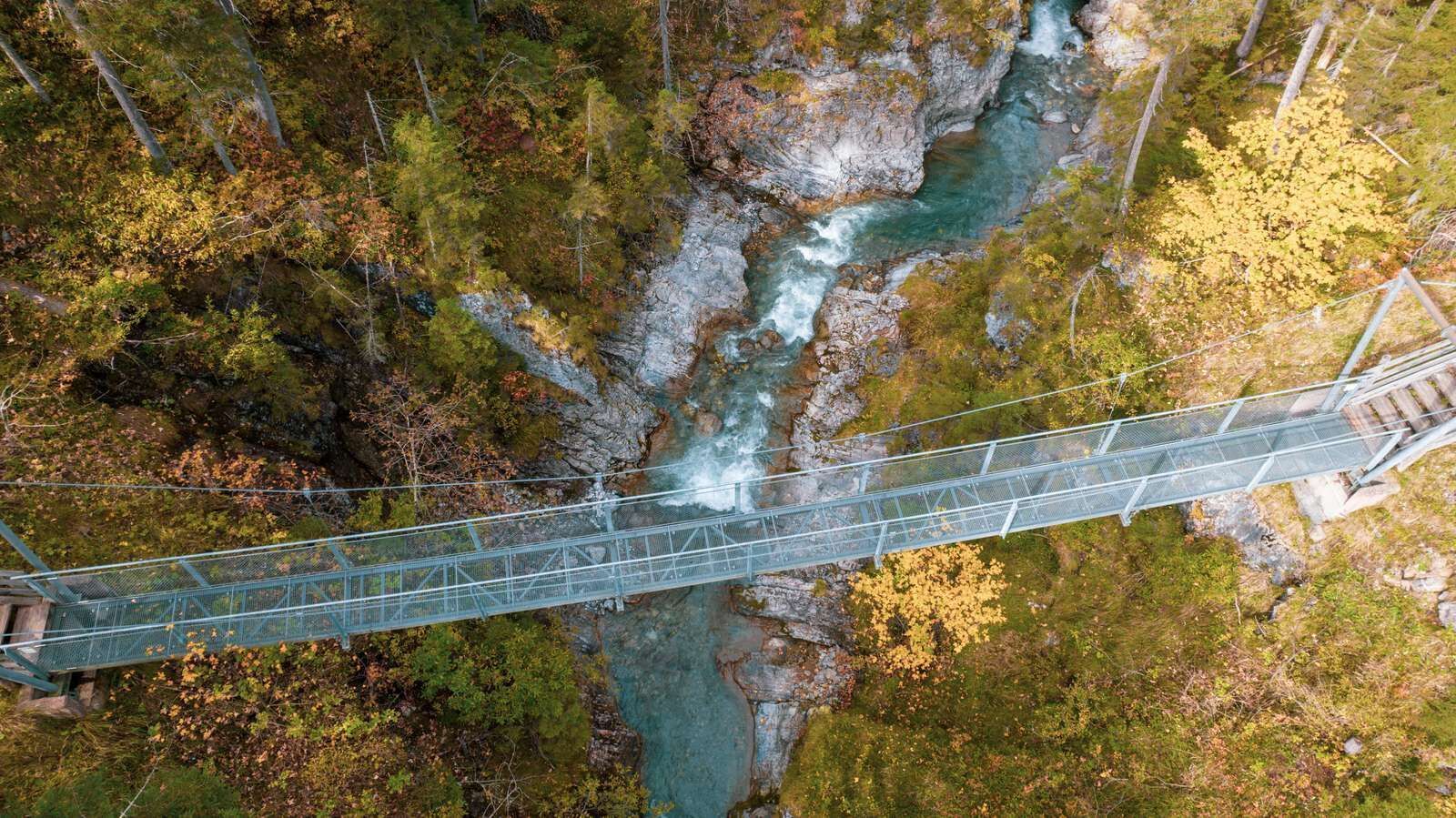
The circular hike is also possible through the forest Klauswald and over the bridge Klausbrücke.
IMPORTANT NOTES:
● Stay on the marked hiking trails
● Keep your distance from grazing animals
● Be aware of the mountain hut opening hours
● Alpine emergency call: 140
You will find a parking lot at the entrance to Namlos


