Mountain hikes Namlos - Engelspitze from Namlos

Namlos / Lechtal Alps
Difficulty ratings: medium
Route length: 3.7 km
Duration: 4:00 h

Medium-heavy mountain hike up to the summit Engelspitze

Tour information

  • Requirement: medium
  • Length: 3.7 km
  • Duration: 4:00 h
  • Elevation uphill:1,068 hm
  • Elevation downhill:0 hm
Highest point2,291 m

Starting point

Namlos - Car park

Finishing point

Engelspitze summit
  • Fitness level 4 / 6
  • Technique 4 / 6

Best time of year

  • January
  • February
  • March
  • April
  • May
  • June
  • July
  • August
  • September
  • October
  • November
  • December

Trail condition

Fire road and hiking trail.
Gravel and natural ground, rocky and meadow terrain.

Equipment

Appropriate clothing, sturdy shoes, rain protection, sun protection, hiking poles, sufficient water. No climbing equipment required.
Source: Tiroler Zugspitz Arena

Description

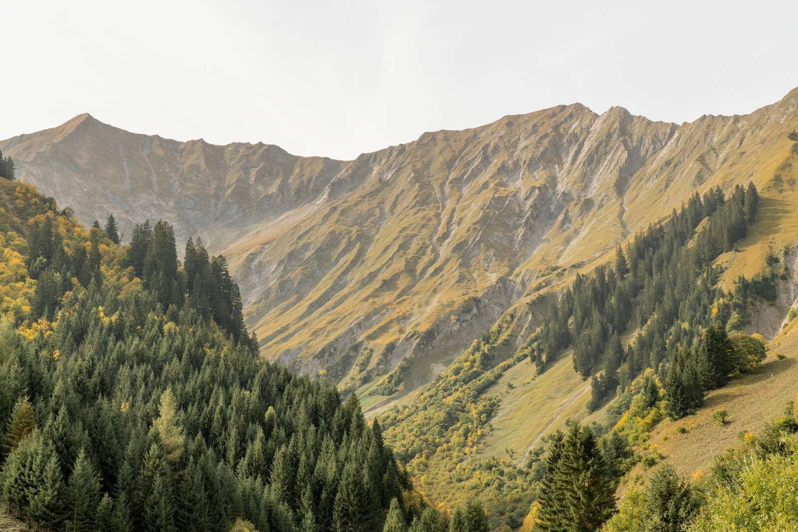
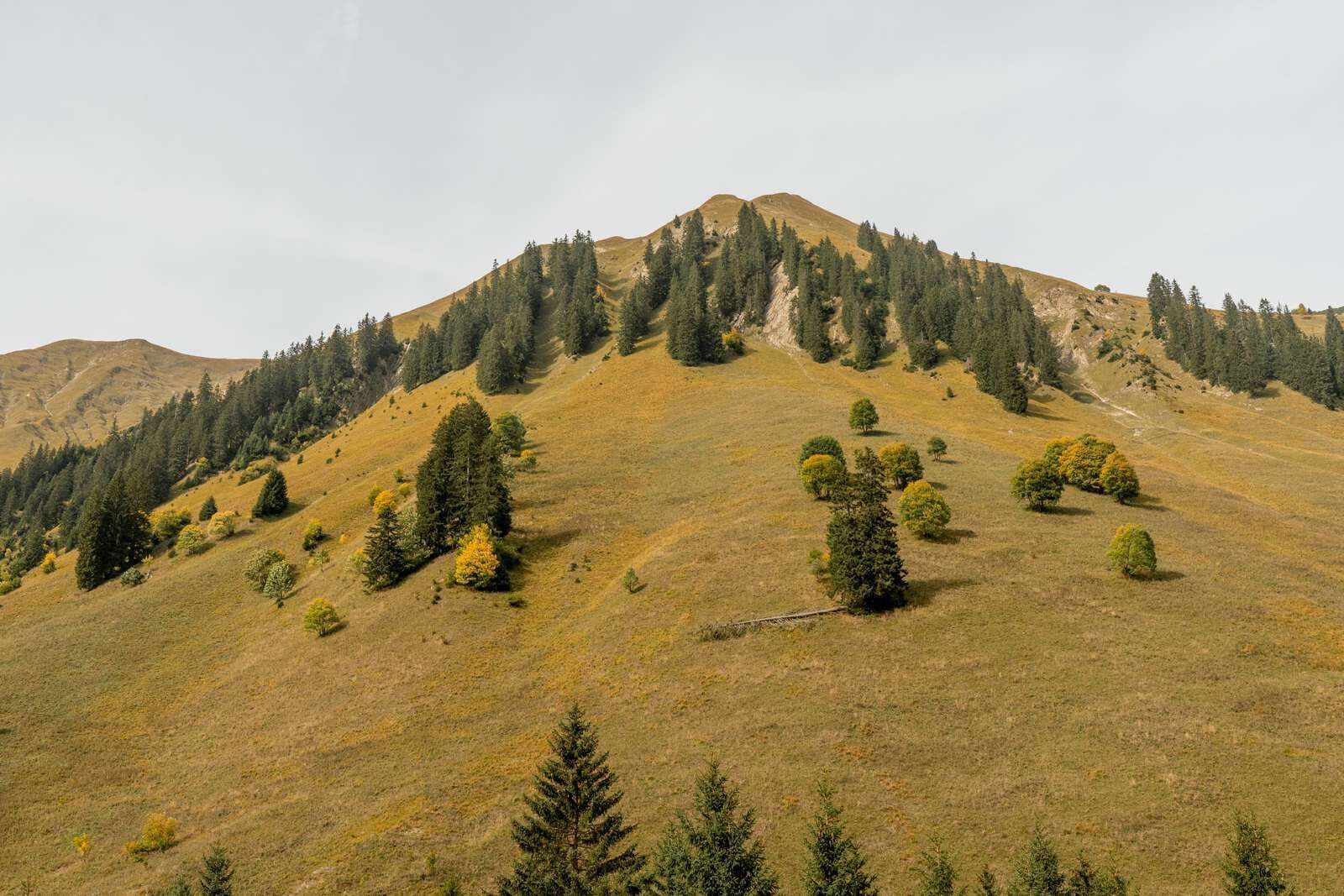
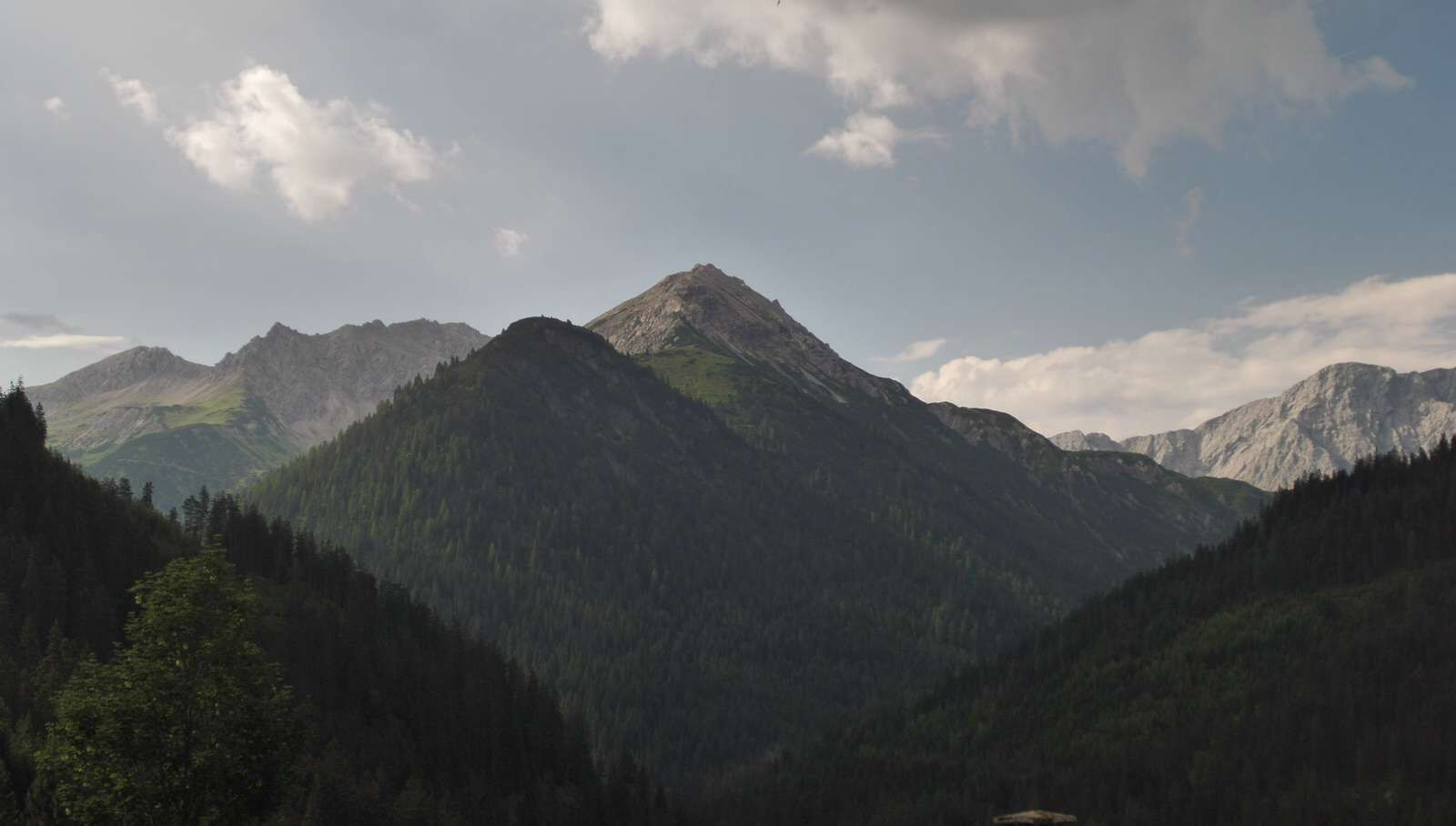
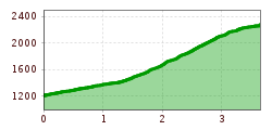
The hike starts at the car park in Namlos. From there walk up to the church, cross the street. Follow the forest along a gravel path and walk straight ahead in the left bend. Cross the stream bed, further via the Amselboden and on a path through the valley Engeltal to the summit of the Engelspitze.

IMPORTANT NOTES:
●   Stay on the marked hiking trails
●   Keep your distance from grazing animals
●   Be aware of the mountain hut opening hours
●   Alpine emergency call: 140
 

Nearby huts and mountain restaurants

Getting here

More tours in the surrounding area

Newsletter

The mountain is calling? So does our newsletter!

In our monthly newsletter we reveal the best holiday tips for Tyrol.