Mountain hikes Namlos - Knittelkarspitze from Kelmen

Namlos / Lechtaler Alpen
Difficulty ratings: difficult
Route length: 5.5 km
Duration: 4:00 h

Demanding summit tour with a wonderful view over the Namlos valley

Tour information

  • Requirement: difficult
  • Length: 5.5 km
  • Duration: 4:00 h
  • Elevation uphill:980 hm
  • Elevation downhill:6 hm
Highest point2,347 m

Starting point

Kelmen

Finishing point

Knittelkarspitze
  • Fitness level 5 / 6
  • Technique 5 / 6

Best time of year

  • January
  • February
  • March
  • April
  • May
  • June
  • July
  • August
  • September
  • October
  • November
  • December

Trail condition

Meadow, gravel, rock, hiking trail

Equipment

Appropriate clothing, sturdy shoes, rain protection and possibly poles. Take plenty of fluids with you! No climbing equipment required
Source: Tiroler Zugspitz Arena

Description

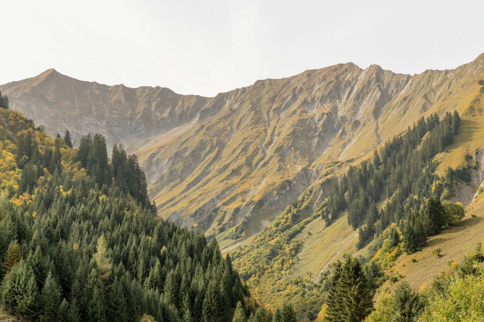
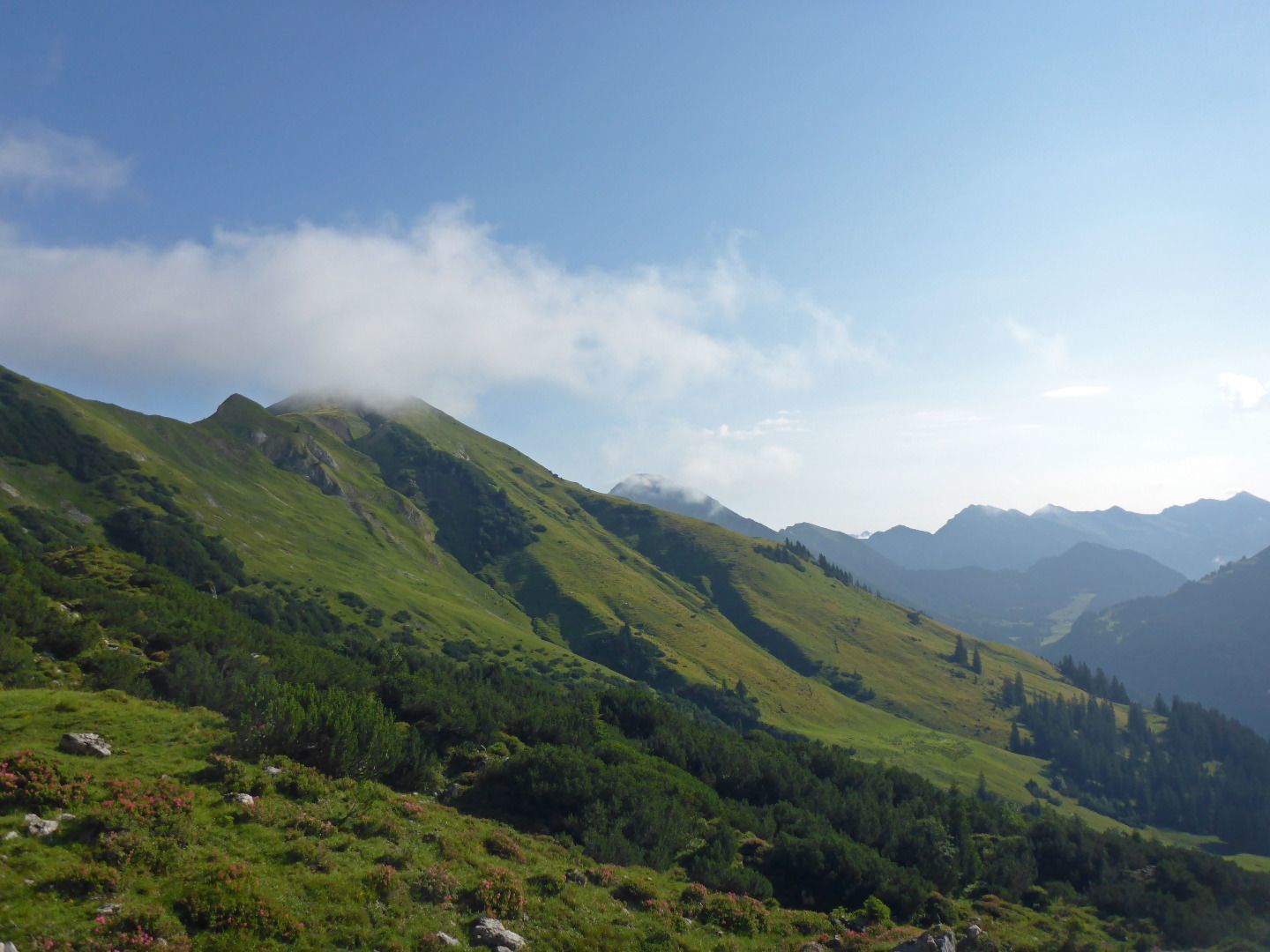
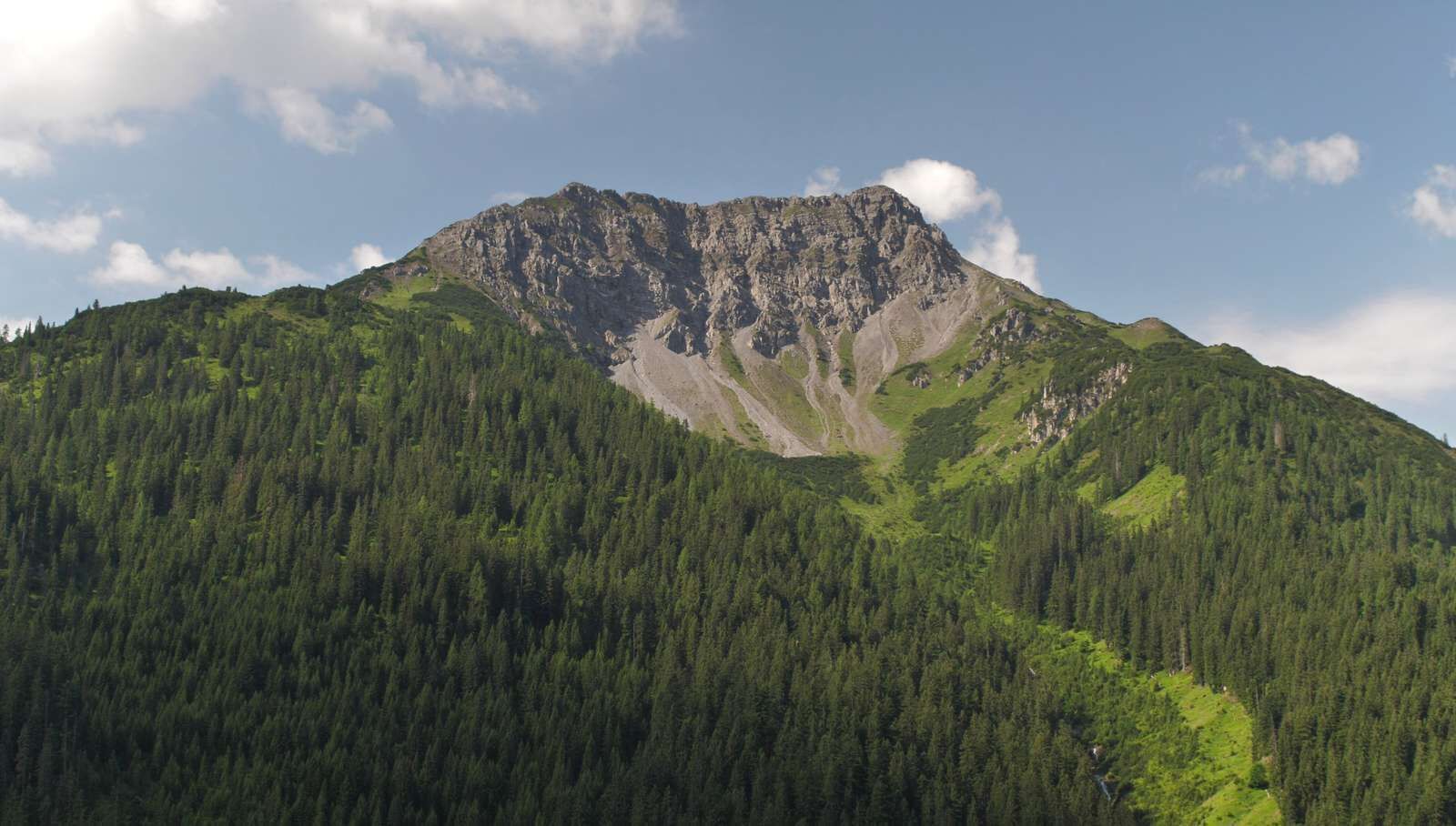
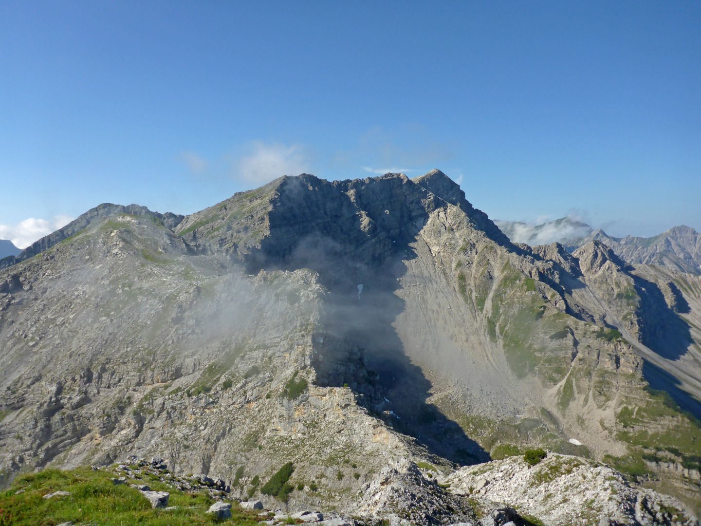
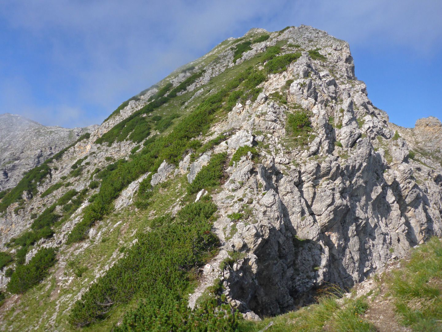
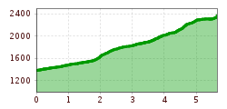
Starting in Kelmen, follow the path through the Eggwald forest. At the fork in the path, continue left over the Steinkar and then left again to the Knittelkarspitze summit.

Descent options:
- the same way back
- via Raazalpe-Galtalpe and Rotbach to Rauth/Rinnen
- via Steinkarspitze-Reuttener Höhenweg-Galtjoch-Abendspitze to Rauth/Rinnen

IMPORTANT NOTES:
● Stay on the marked hiking trails
● Keep your distance from grazing animals
● Observe the opening hours of the huts
● Alpine emergency call: 140

Getting here

  • Arrival by public transport

    Unfortunately, Kelmen is no longer connected to the public transport network.
    You are therefore dependent on traveling by car.

  • Parking

    You will find a parking lot at the village entrance of Kelmen

More tours in the surrounding area

Newsletter

The mountain is calling? So does our newsletter!

In our monthly newsletter we reveal the best holiday tips for Tyrol.