
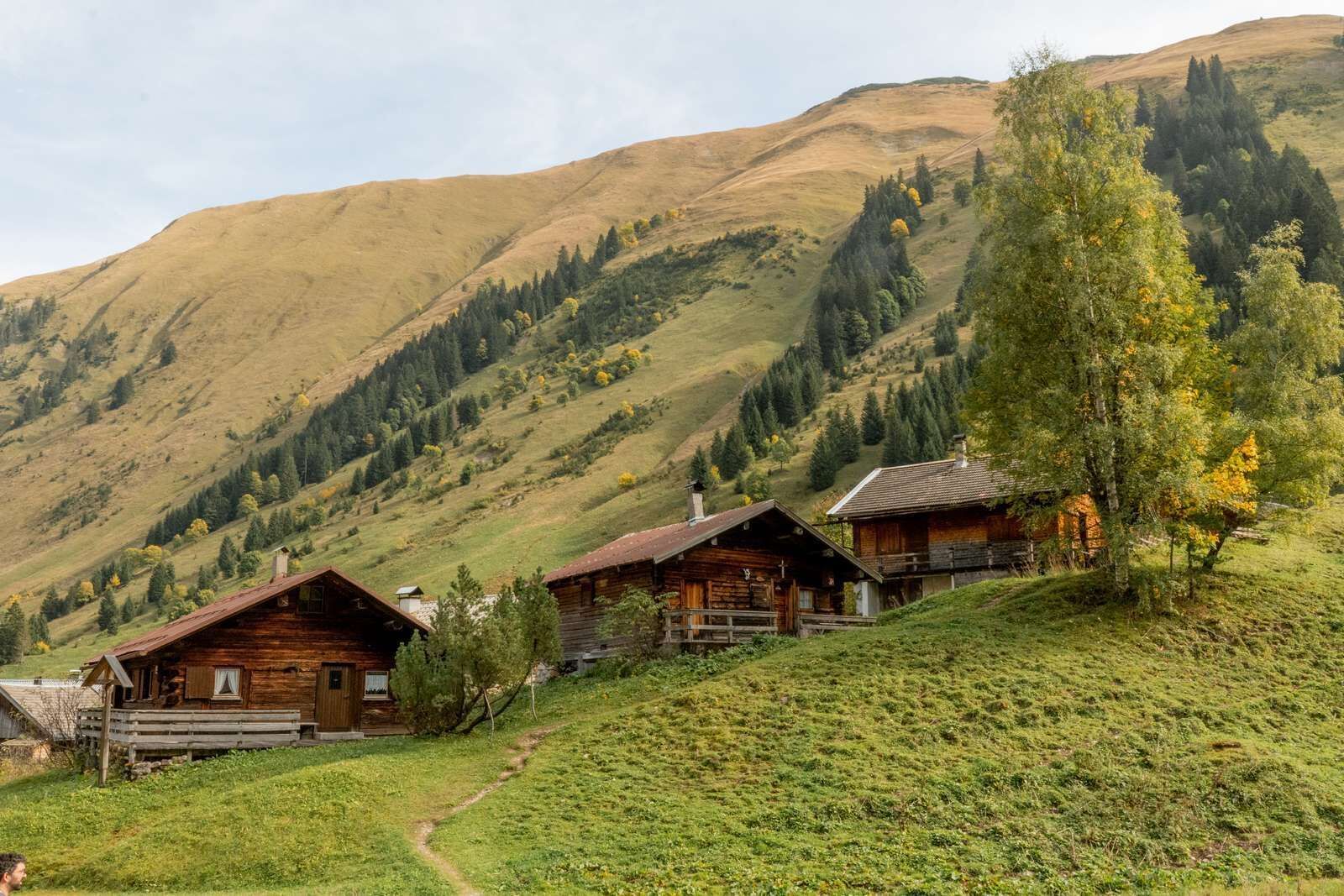
Place:
Namlos
:
Alpine pasture / hut / mountain restaurant
Demanding summit tour in the Lechtal Alps
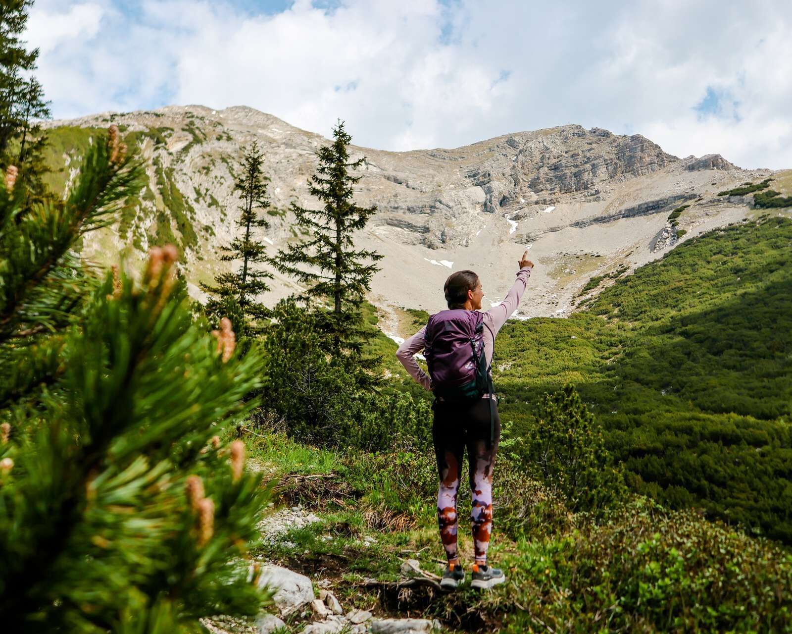

From the car park follow the wide asphalt path until you reach the Almdorf Fallerschein after about 45 minutes
walking time. Pass this and keep left along the serpentine climb across the Sommerbergjoch (No. 153) to the
Namloser Wetterspitze. This tour is only recommended for experienced, sure-footed hikers with a head for heights.
IMPORTANT NOTES:
● Stay on the marked hiking trails
● Keep your distance from grazing animals
● Be aware of the mountain hut opening hours
● Alpine emergency call: 140
Unfortunately, Namlos is no longer connected to the public transport network.
You are therefore dependent on traveling by car.
Parking spaces can be found at the entrance to Namlos or at the junction for Almdorf Fallerschein (a few meters after leaving Namlos) along the country road.


