Mountain hikes Over the Thaurer Alm to the Törl and into the Halltal

Thaur / Karwendel
Difficulty ratings: medium
Route length: 13.5 km
Duration: 5:00 h

Across the alpine landscape of the Thaurer Alm, it goes down over the Törl into the legendary Halltal.

Tour information

  • Requirement: medium
  • Length: 13.5 km
  • Duration: 5:00 h
  • Elevation uphill:1,179 hm
  • Elevation downhill:1,058 hm
Highest point1,804 m

Starting point

Thaur, center

Finishing point

Absam, entrance Halltal
  • Fitness level 4 / 6

Best time of year

  • January
  • February
  • March
  • April
  • May
  • June
  • July
  • August
  • September
  • October
  • November
  • December
Source: Region Hall - Wattens

Description

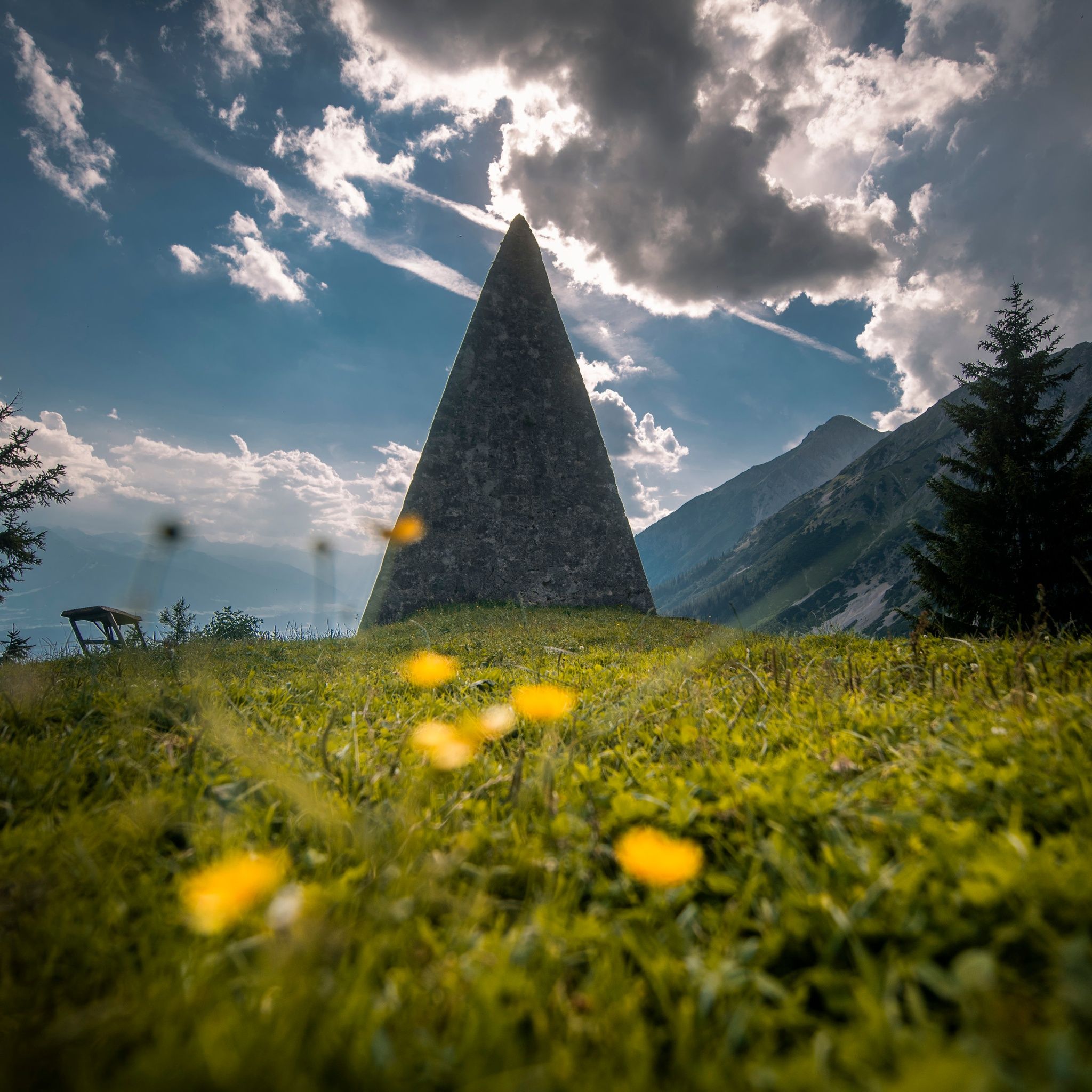
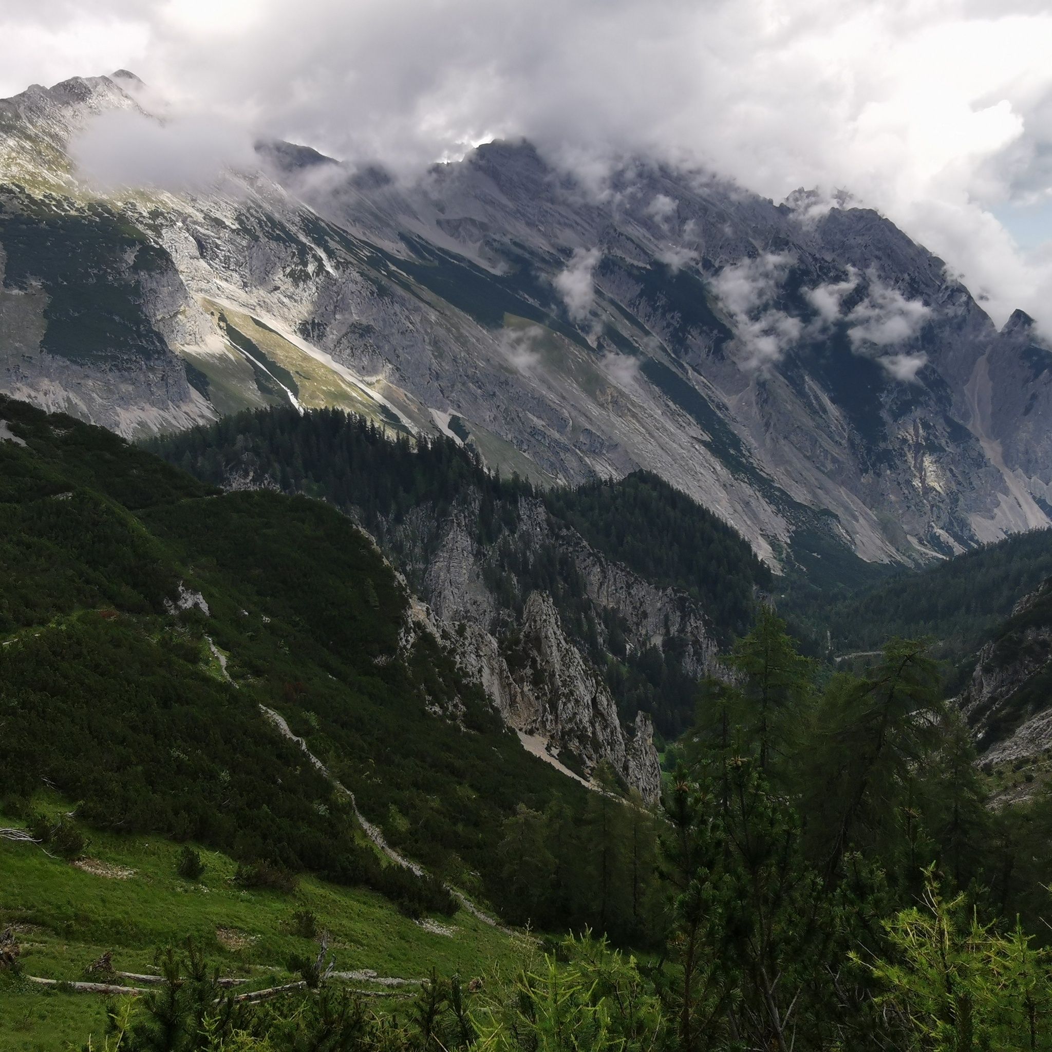
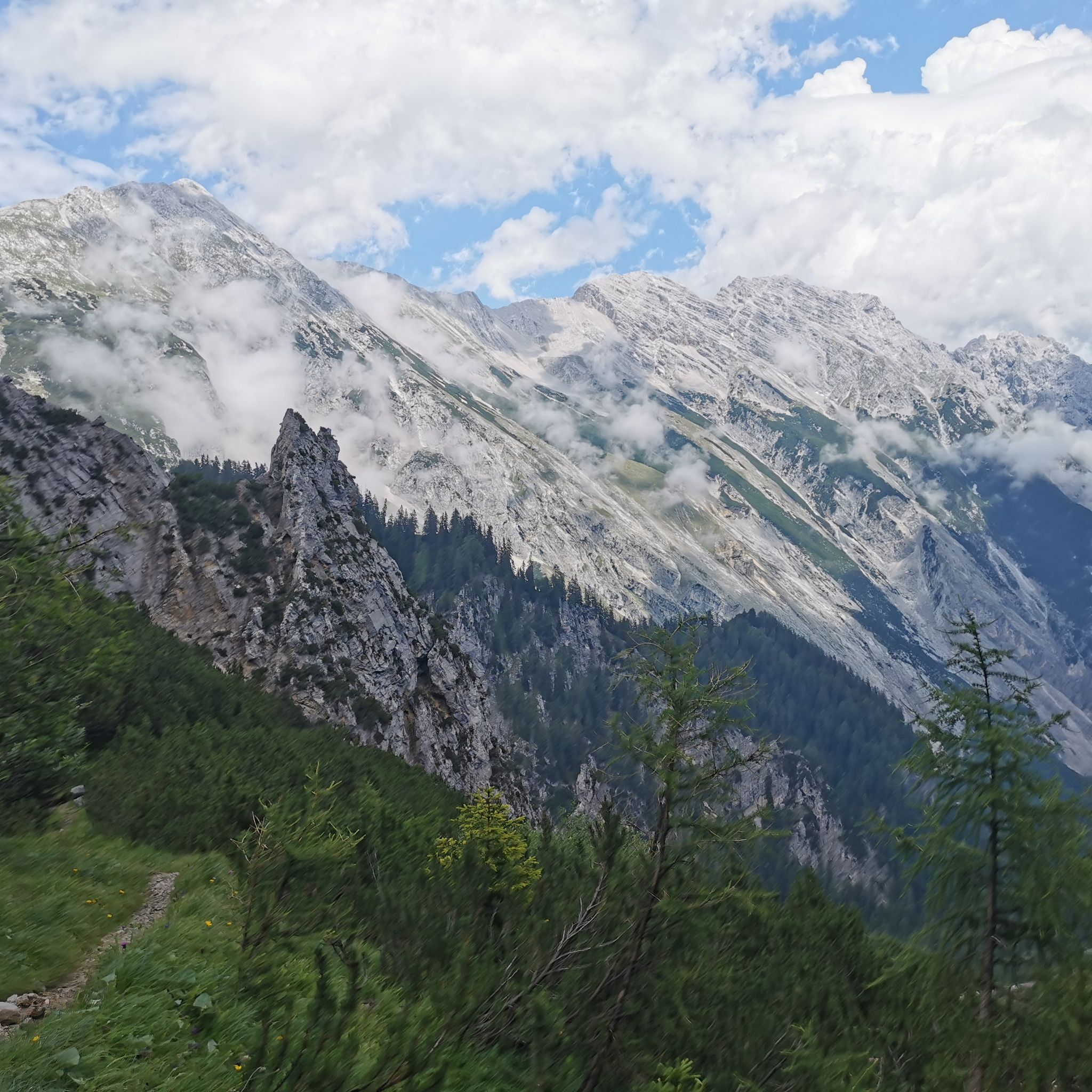
It goes up the alpine road to the Thaurer Alm. From there, it continues over the Kaisersäule to the Törl. The Törl is the highest point of the route, from which it goes down into the Halltal.

Nearby huts and mountain restaurants

Getting here

  • Arrival by public transport

    It is possible to reach Thaur from Innsbruck and Hall with the "Line 501". From Absam, the "Line 502" or "503" runs back.

  • Parking

    There are some parking options directly in Thaur.

More tours in the surrounding area

Newsletter

The mountain is calling? So does our newsletter!

In our monthly newsletter we reveal the best holiday tips for Tyrol.